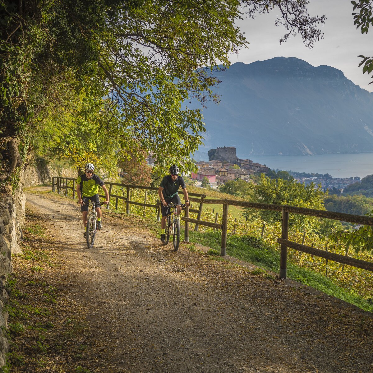
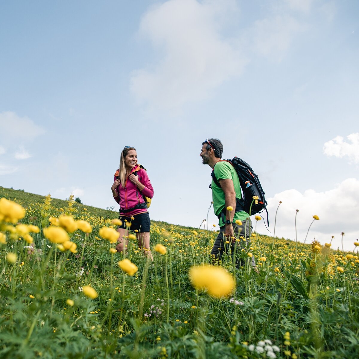
A loop of just under 7 km from Pieve di Ledro. Follow the sunny, scenic stretch of the Ledro Trek Low to Mezzolago, then walk past the paintings the village centre and return to Pieve along the lakeshore.
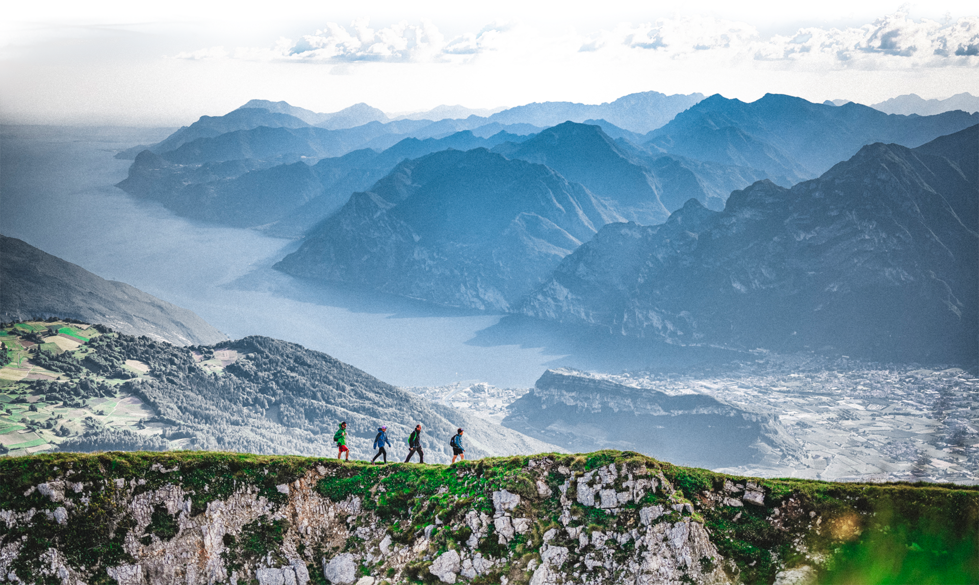
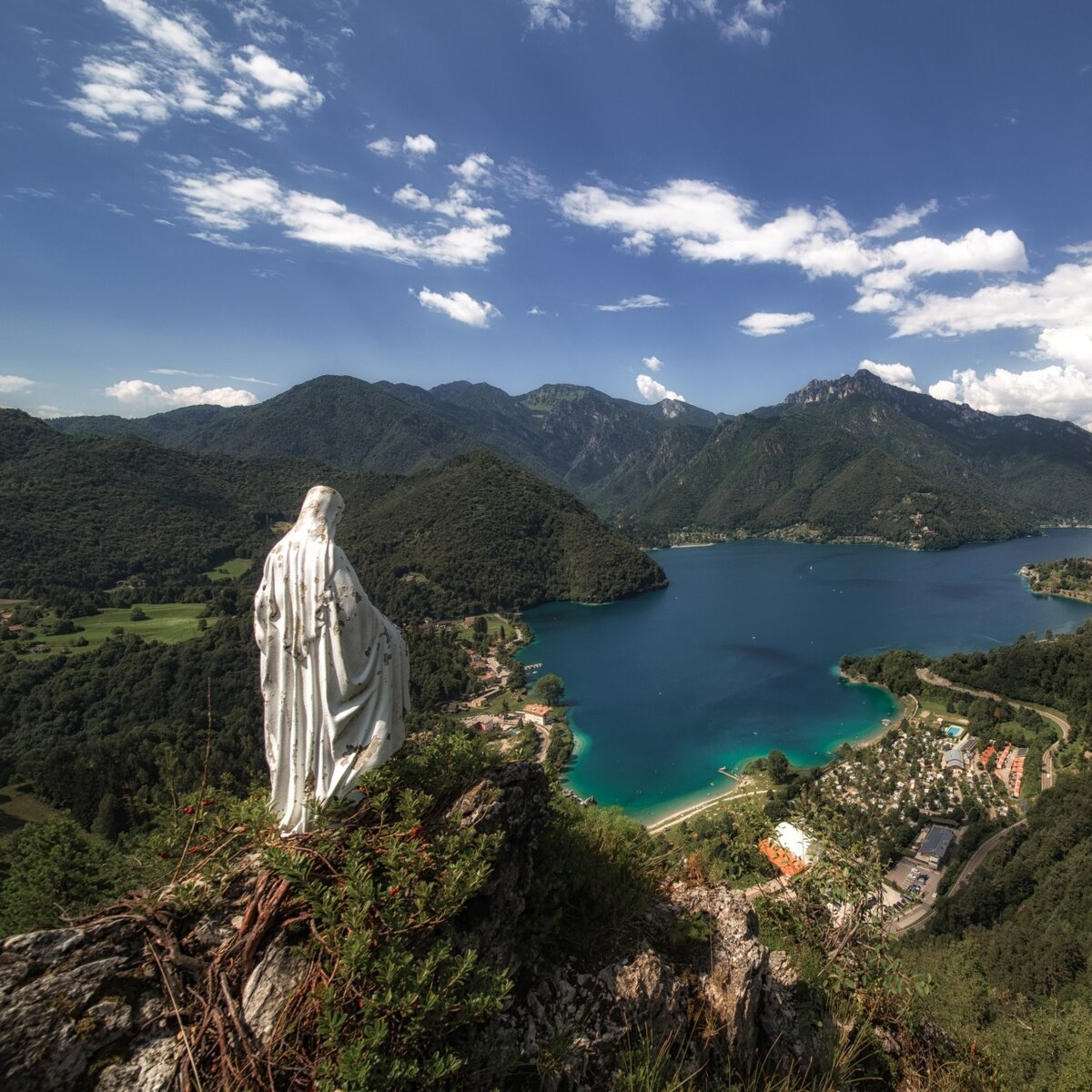
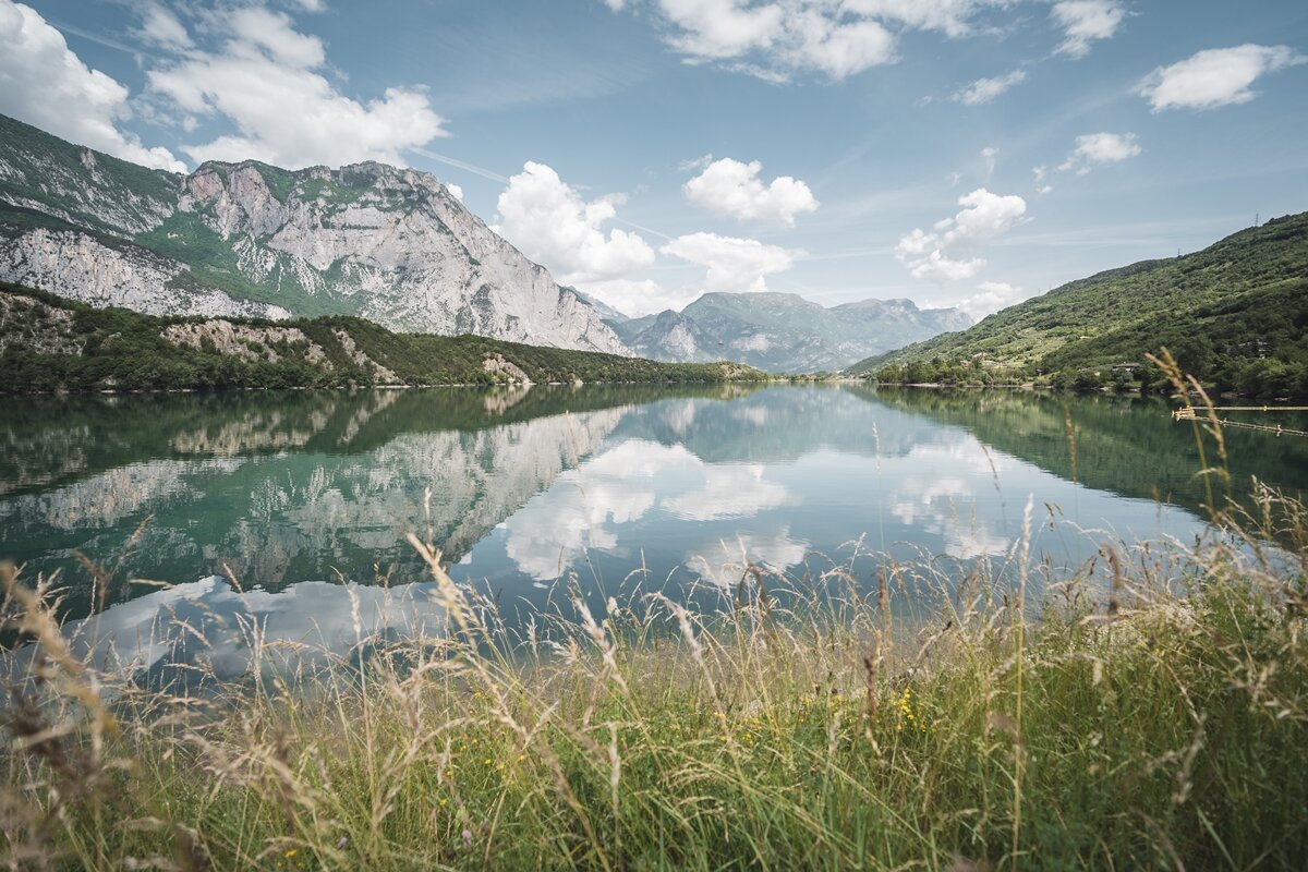
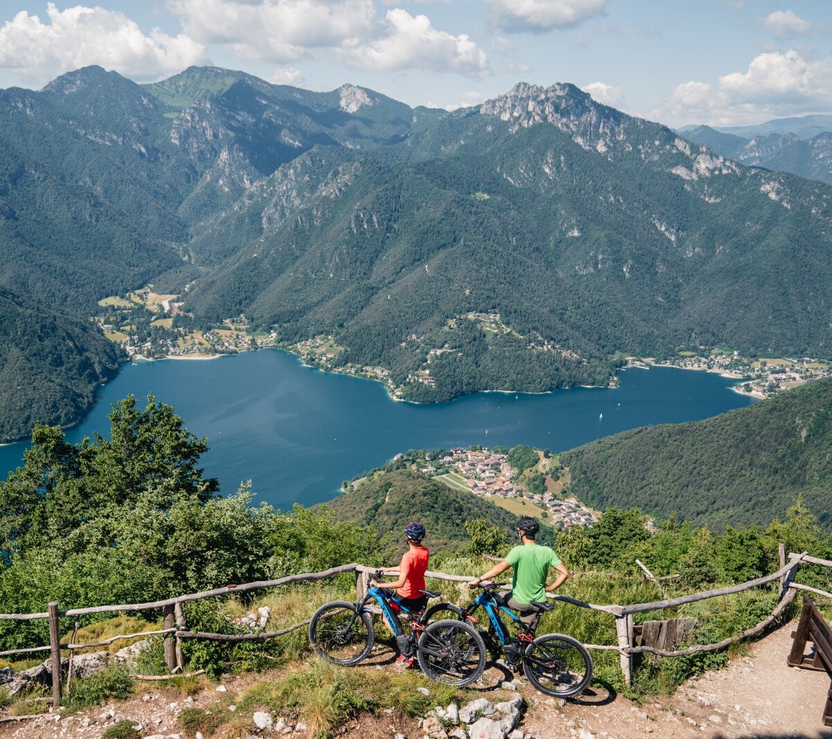
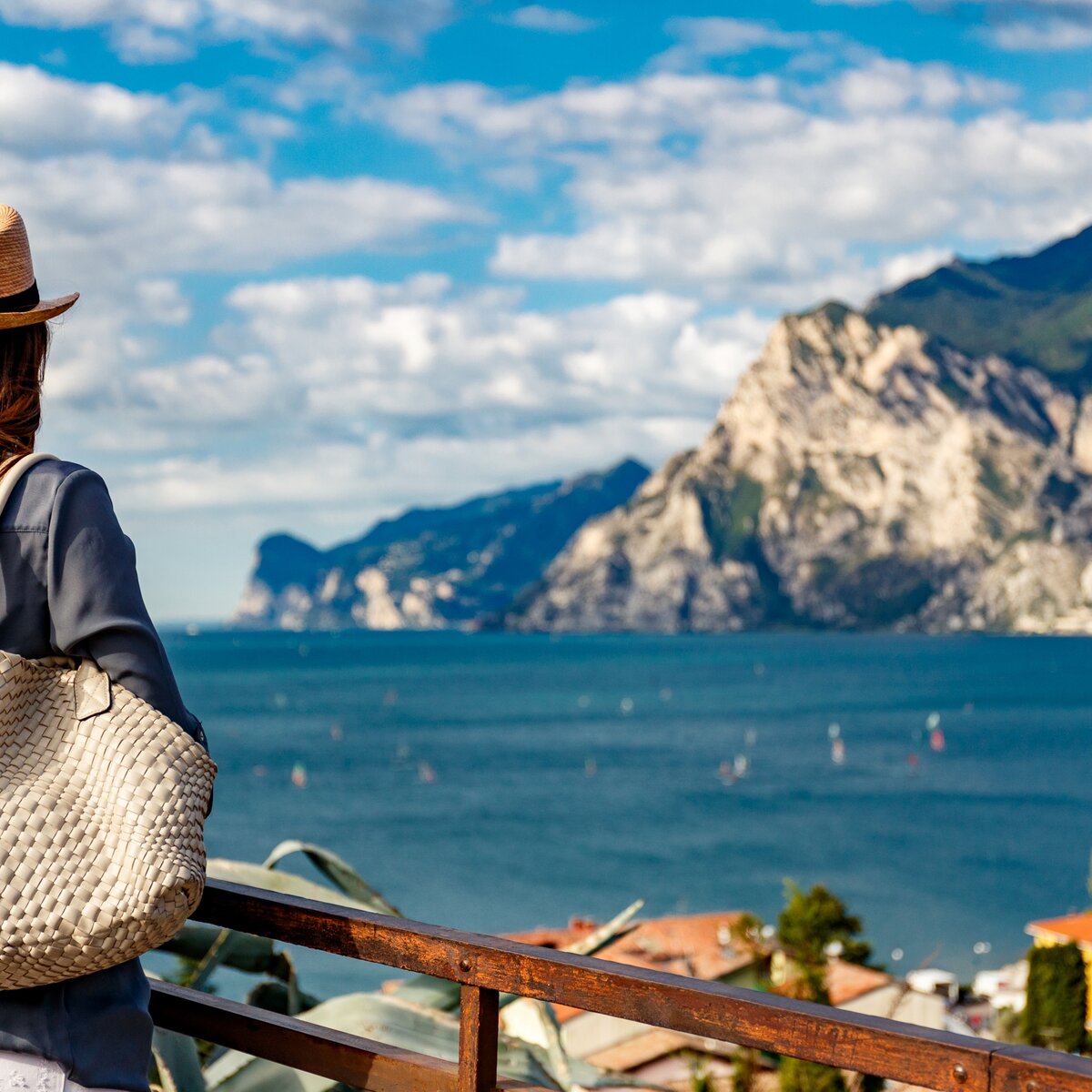
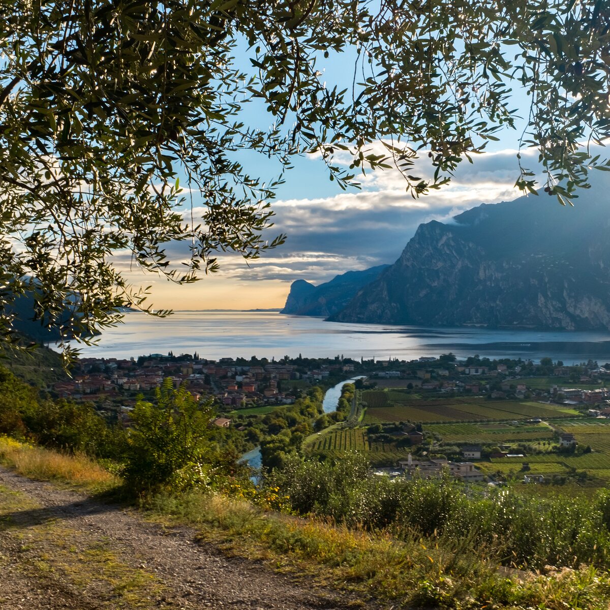
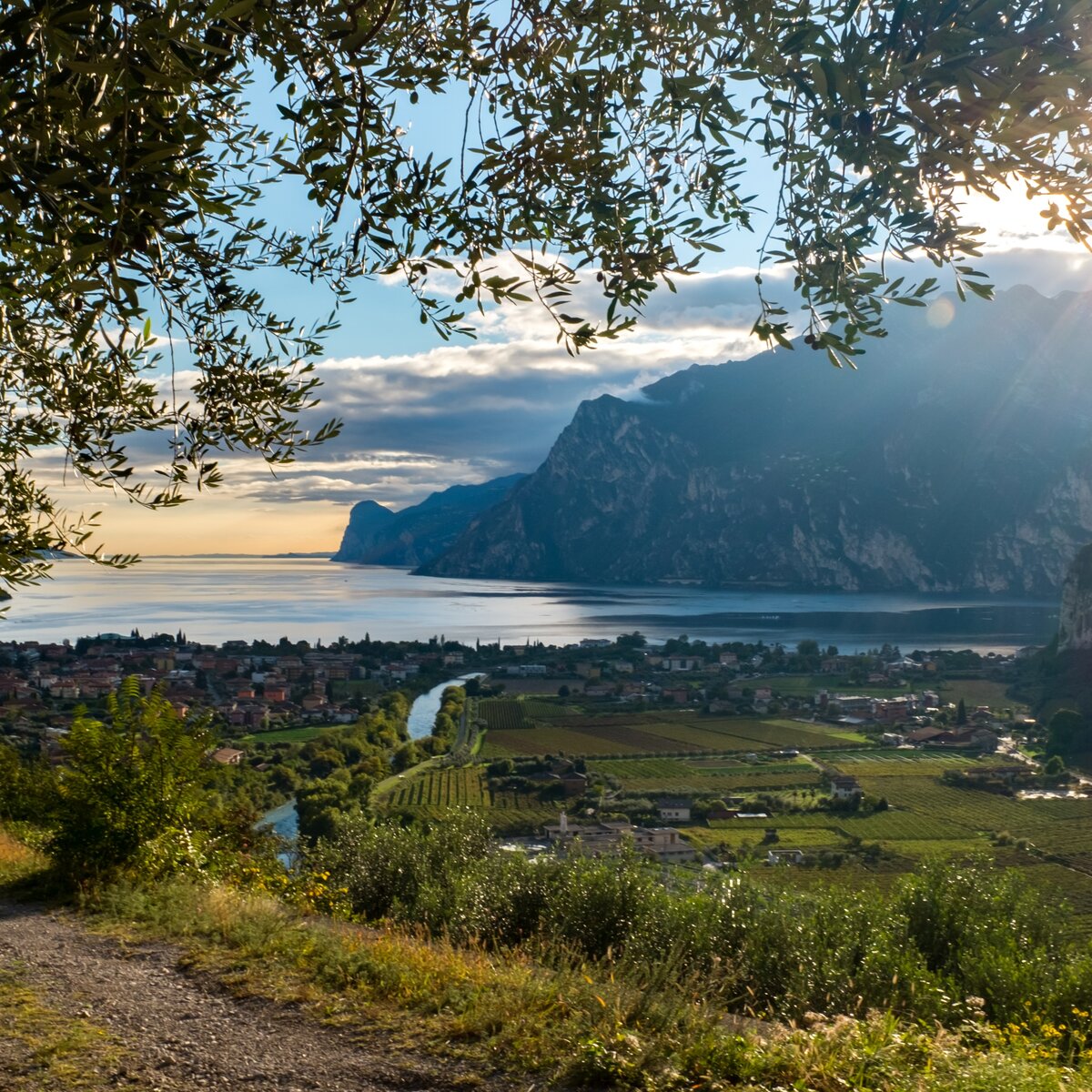
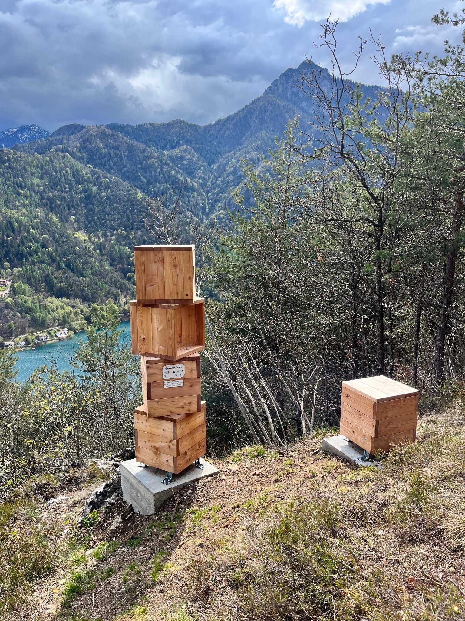
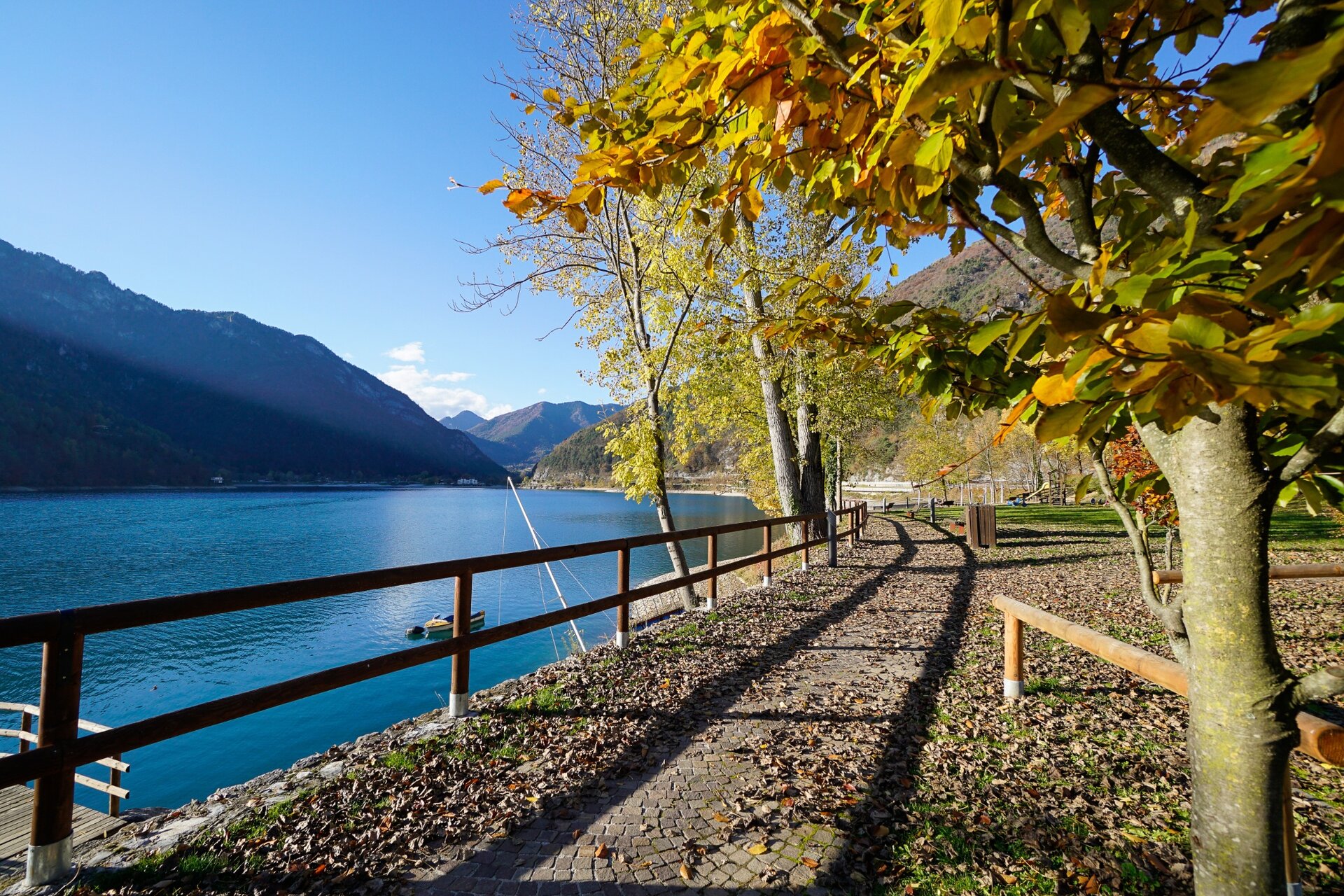
From Pieve di Ledro, the Ledro Trek Low climbs the south-facing hillside. The sunny trail offers views of Lake Ledro at several points along the way. You’ll also pass a Games of Cubes installation, a good spot to pause and take in the view.
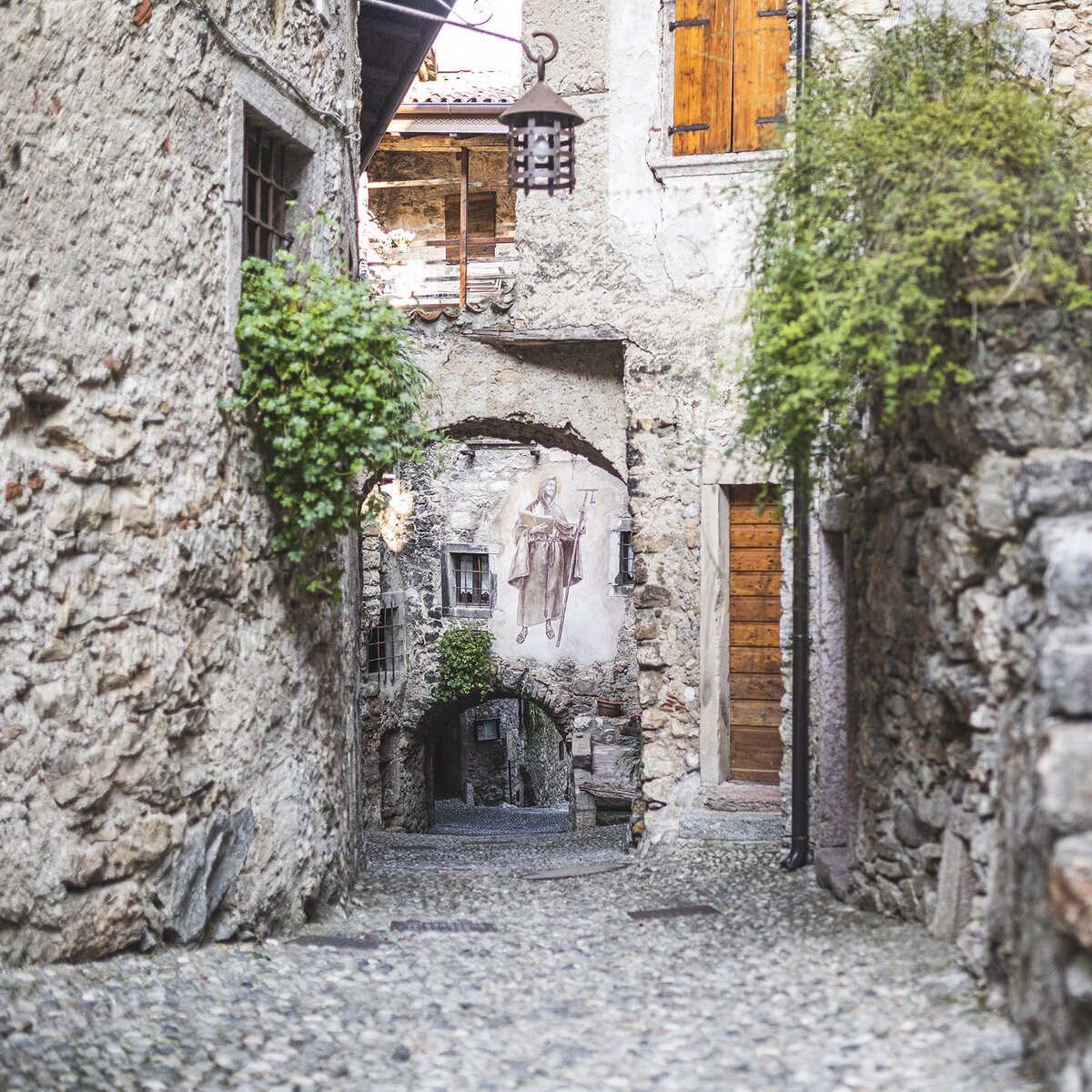
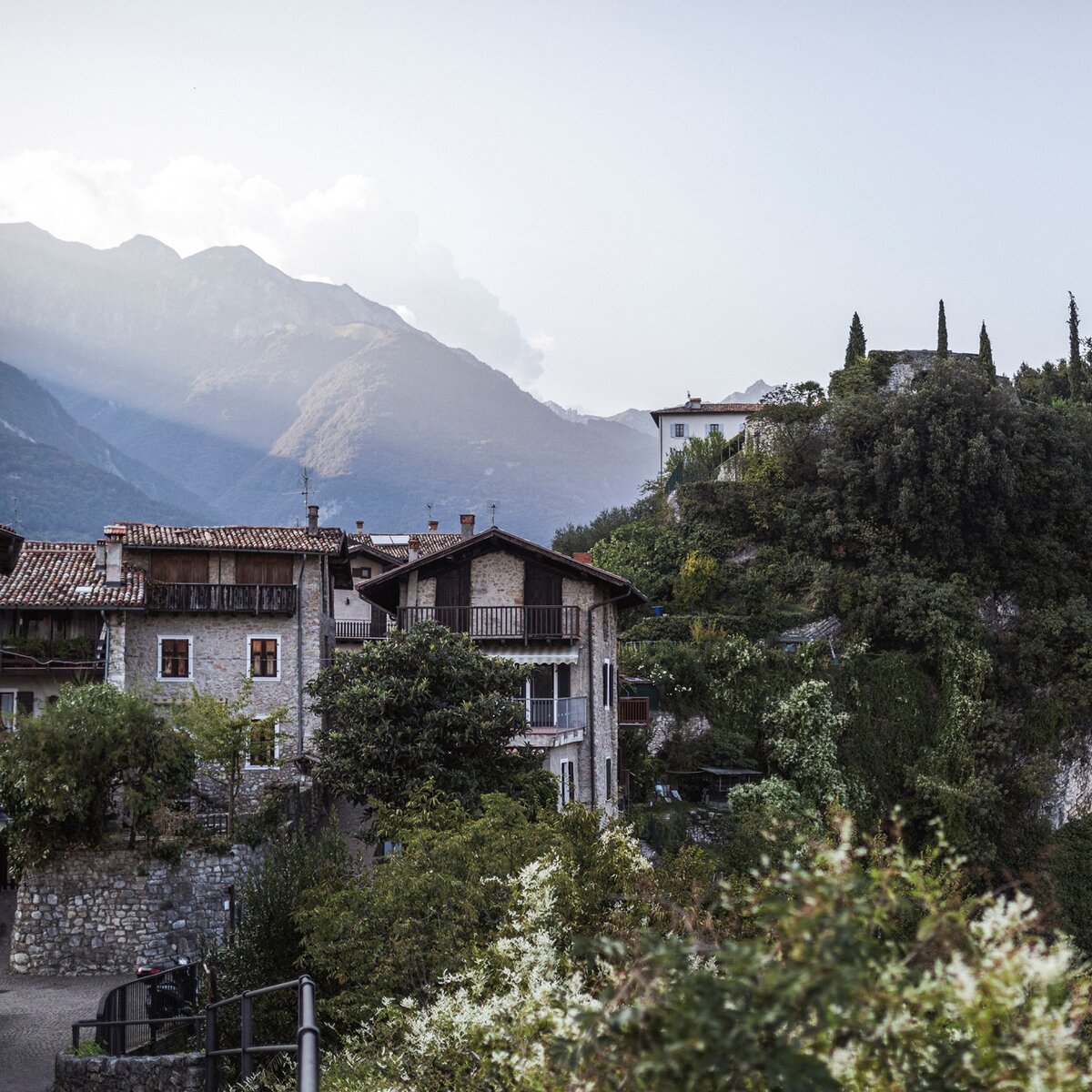
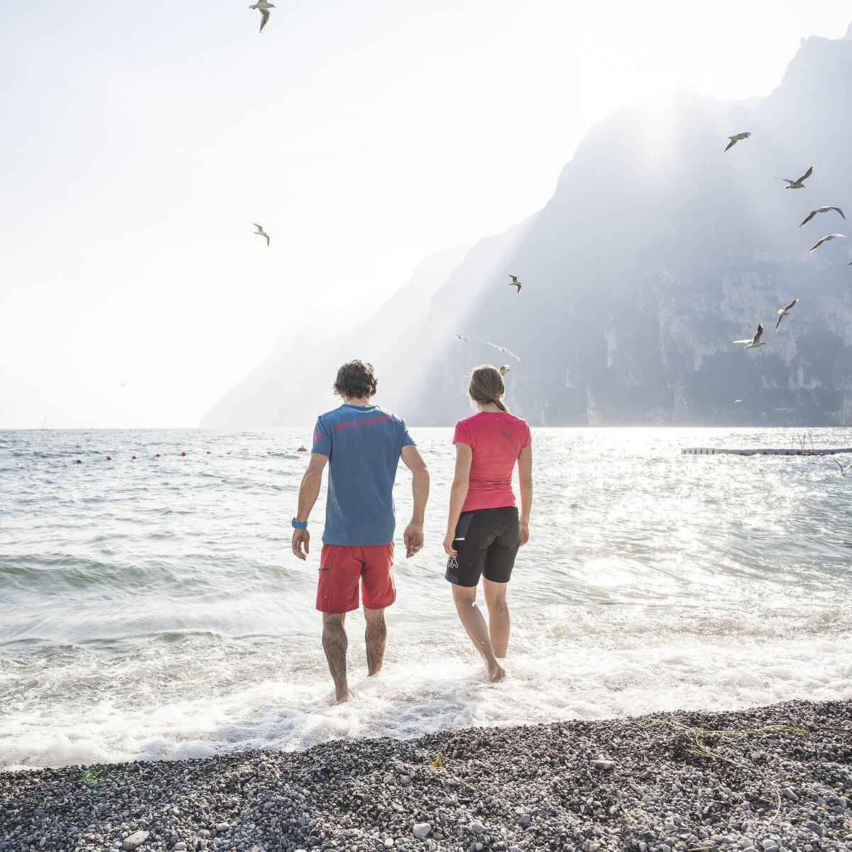
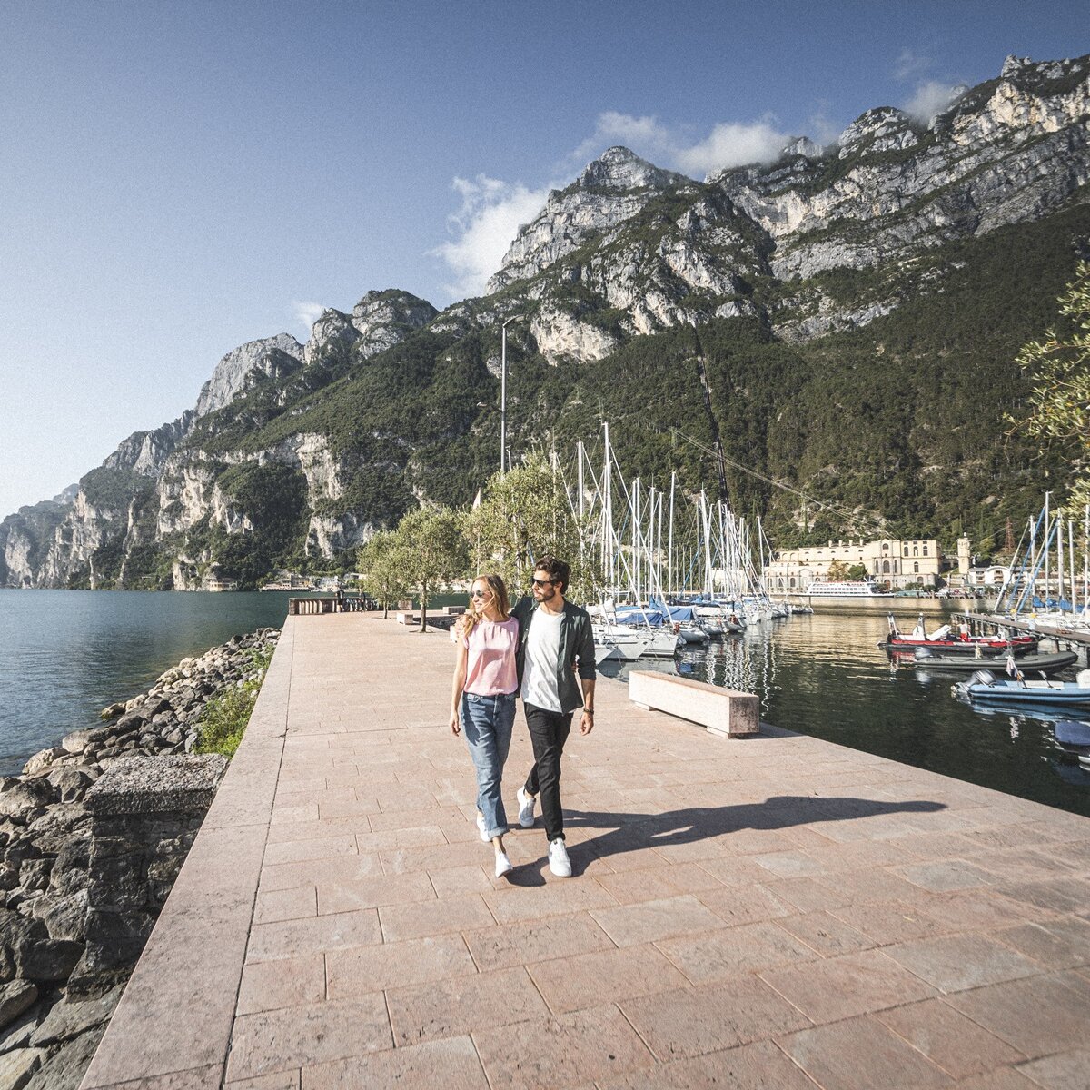
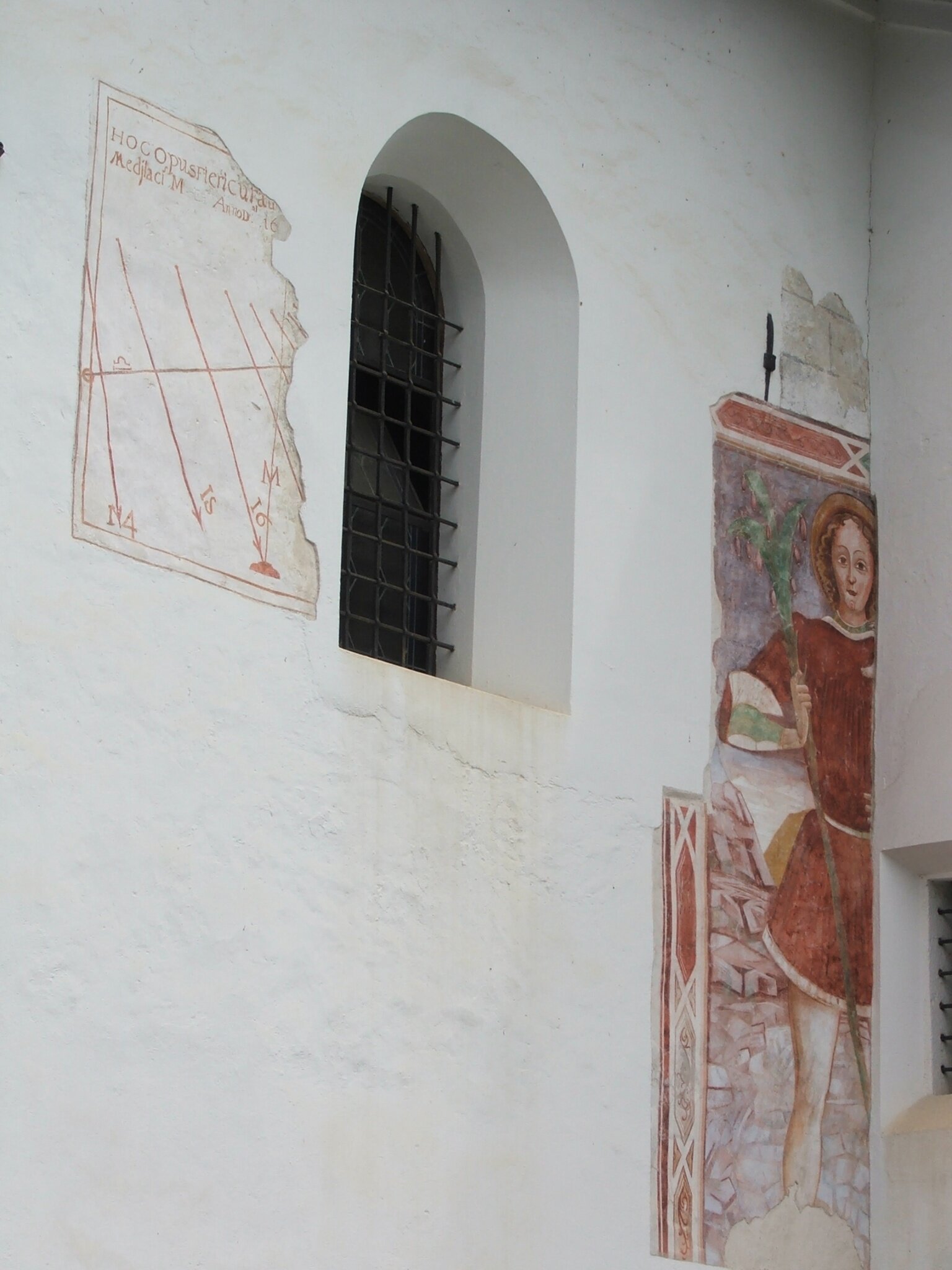
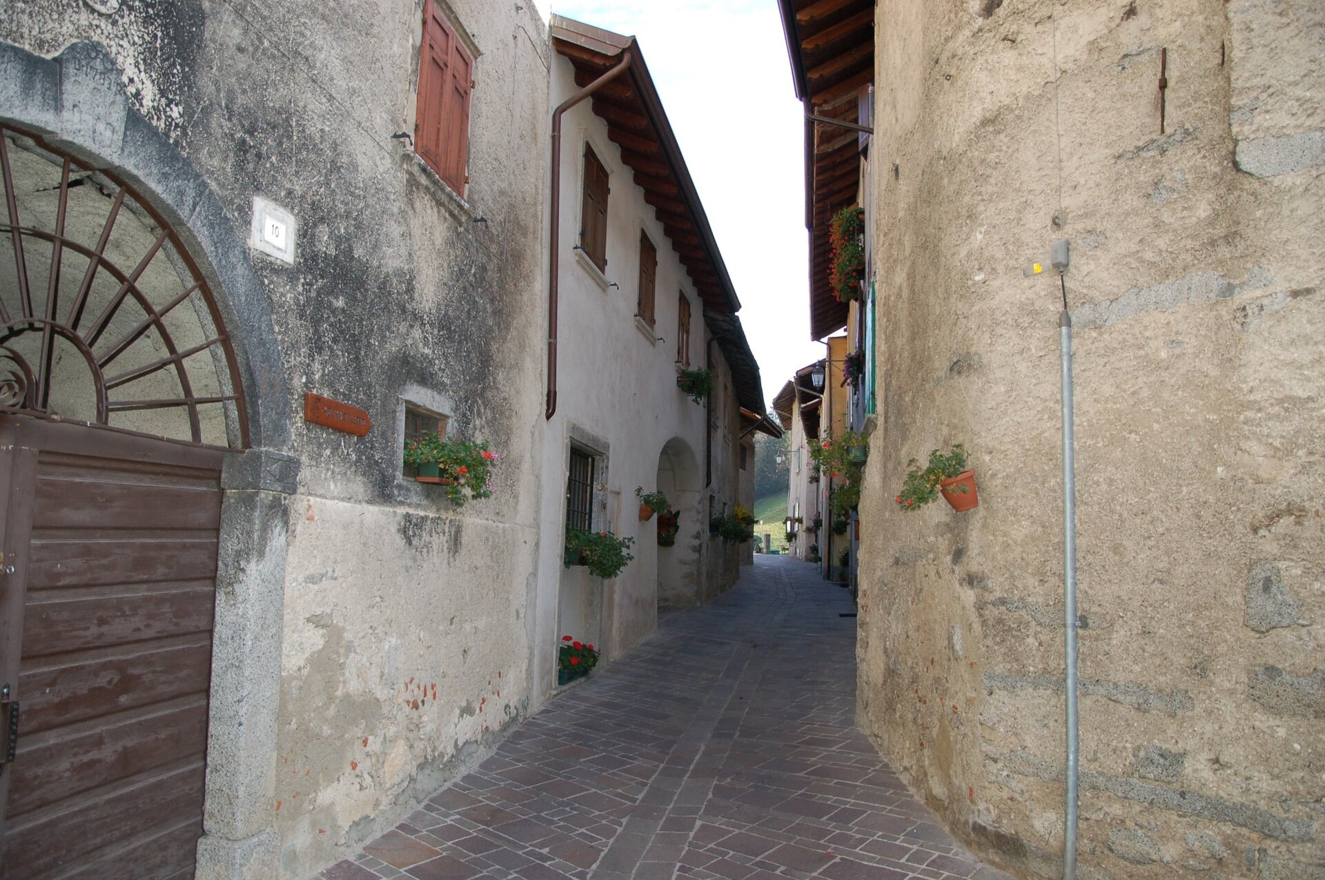
The trail then descends into Mezzolago and takes you along Contrà del Pase, a village lane with several paintings. From there, head down to the lake and follow the waterfront path back to Pieve di Ledro, completing a loop of just under 7 km.
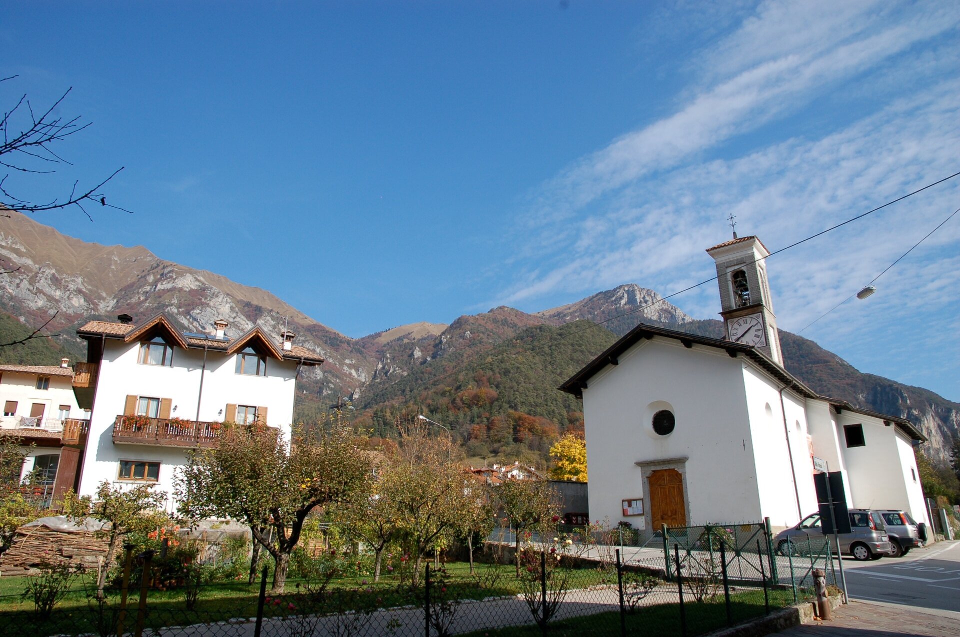
From the centre of Pieve di Ledro, take Via Rabaglia and follow SAT trail 454 to the first hairpin bend. Take the path on the right and follow the Ledro Trek Low signs towards Mezzolago. Once you reach the village, head downhill along Via Dromaè.
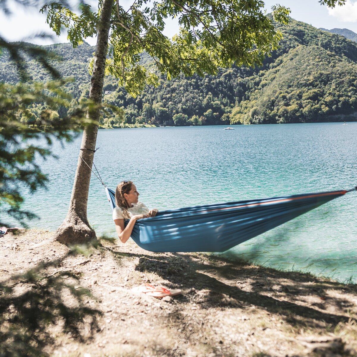
Walk through the village centre via Contrà del Pase, then continue down to the lakeshore. Follow the waterfront path towards Pieve di Ledro to return to your starting point.
You might be interested in
Discover related tours
Intermediate
Comano
Sentiero della Fede
Distance
10,1 km
Duration
3 h
30 min
Altitude difference (+)
310 m
Altitude difference (-)
253 m
Status
open
Difficult
Valle dei Laghi
Mount Terlago - Paganella summit
Distance
12,2 km
Duration
6 h
35 min
Altitude difference (+)
1.536 m
Altitude difference (-)
1.536 m
Status
open
Intermediate
Riva del Garda
Punta Larici, the most spectacular lookout point on Lake Garda
Distance
3,2 km
Duration
1 h
45 min
Altitude difference (+)
367 m
Altitude difference (-)
34 m
Status
partially open
Difficult
Comano
Malga Nardis
Distance
15,3 km
Duration
7 h
00 min
Altitude difference (+)
1.230 m
Altitude difference (-)
1.222 m
Status
open
Difficult
Riva del Garda, Tenno
GardaTrek Medium Loop 1: from Riva del Garda to Rifugio San Pietro


 Offers