aria.quick_link.navi aria.quick_link.skiptomaincontent aria.quick_link.footer
Garda Trentino Logo
Top

Ledro Sky XS

Ledro

Difficulty
Intermediate
Duration
2:00
Duration in hours
Distance
8.4
Distance in km
Status
open
Suggested period
Jan
Feb
Mar
Apr
May
Jun
Jul
Aug
Sep
Oct
Nov
Dec
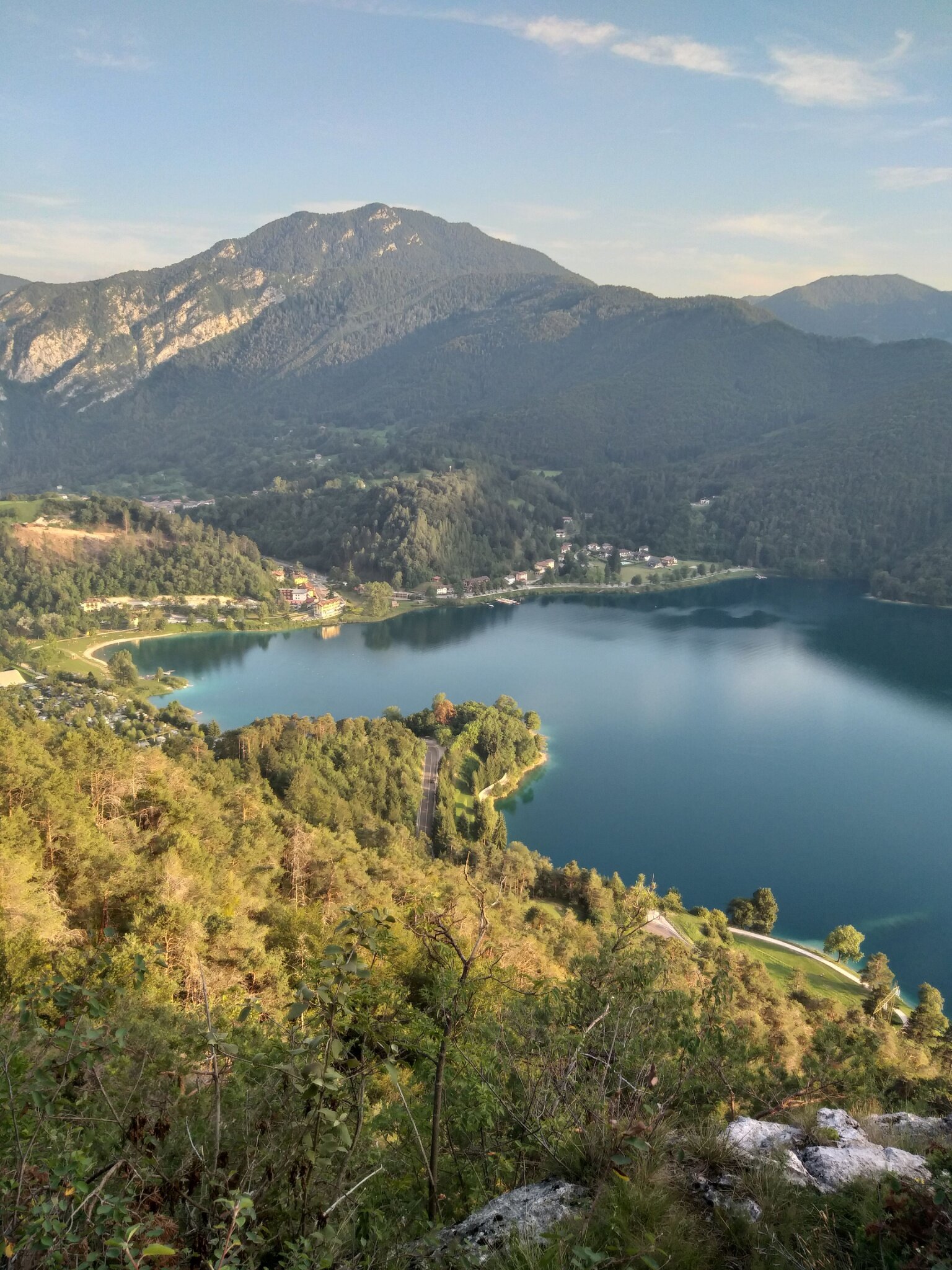
The XS version of Ledro Sky: a loop from Mezzolago combining lakeside running and scenic trails, returning via the Sentiero dei Paloni, with one final climb before the descent to the finish.
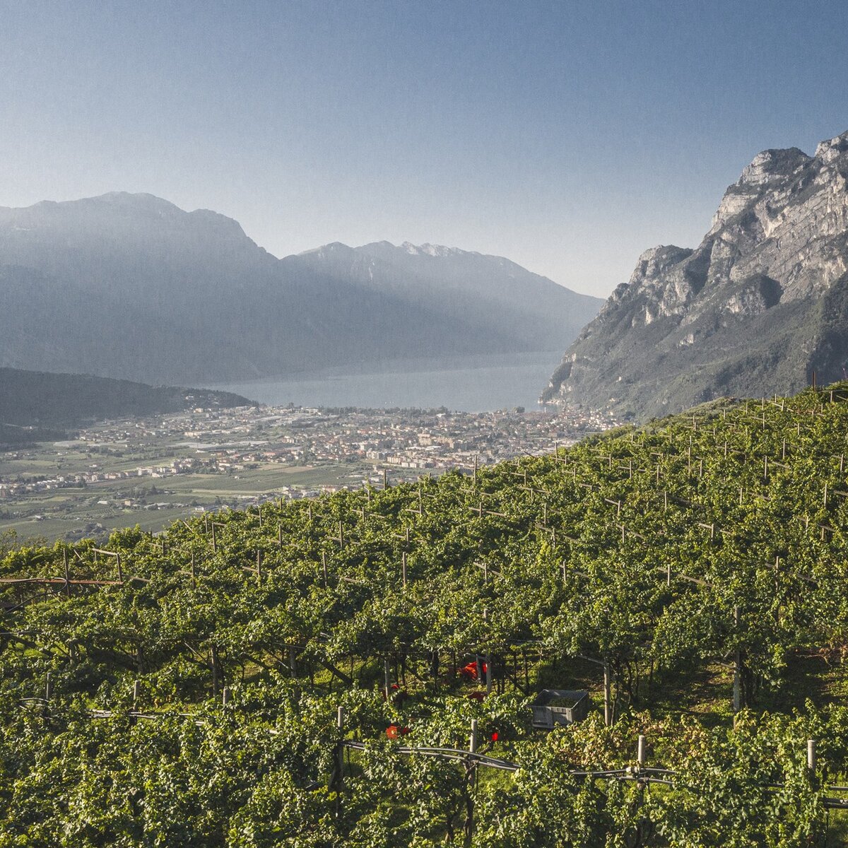
The renowned Ledro Sky – Senter de le Greste now has an XS version: an 8.4 km trail running route with around 430 metres of elevation gain, starting and finishing in Mezzolago.

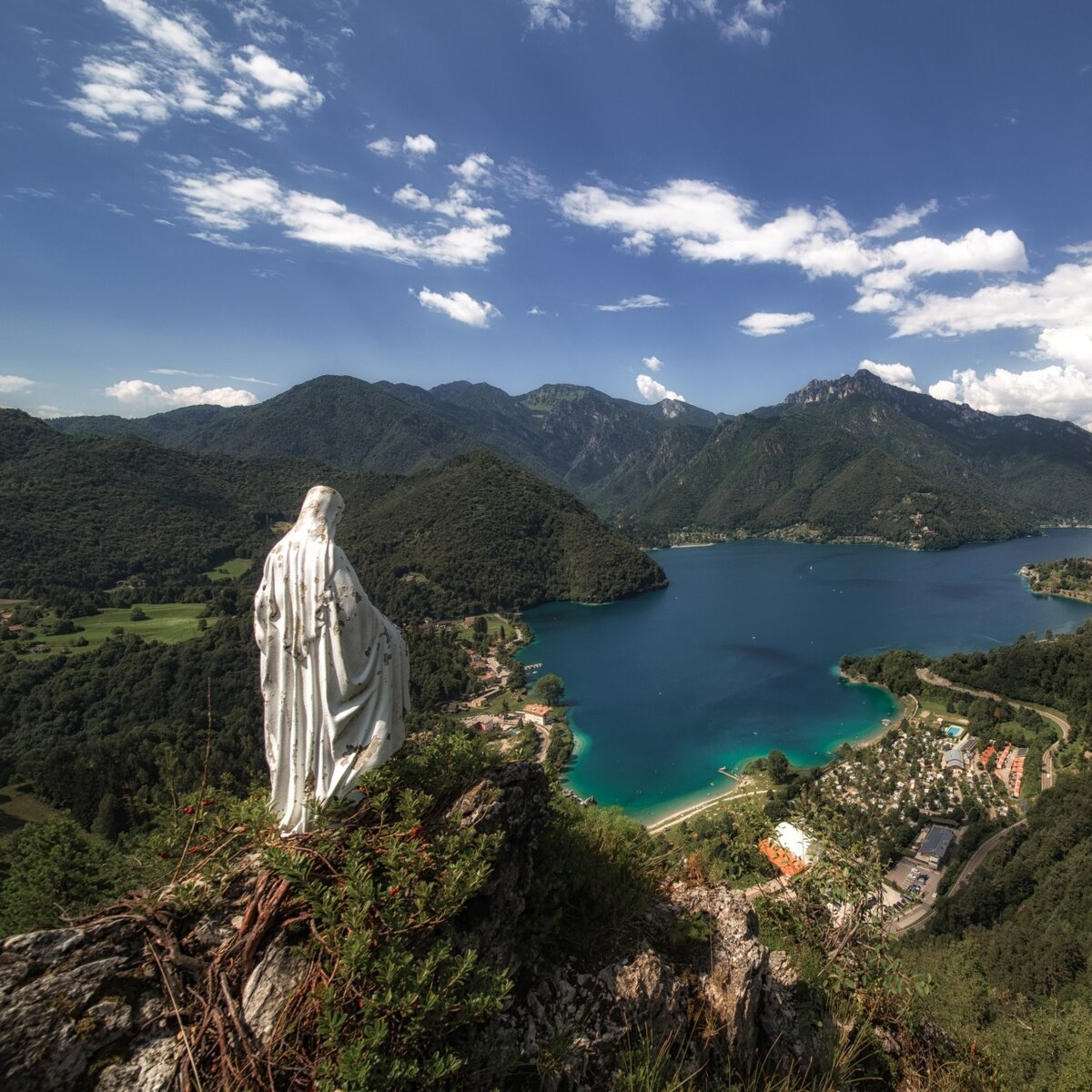
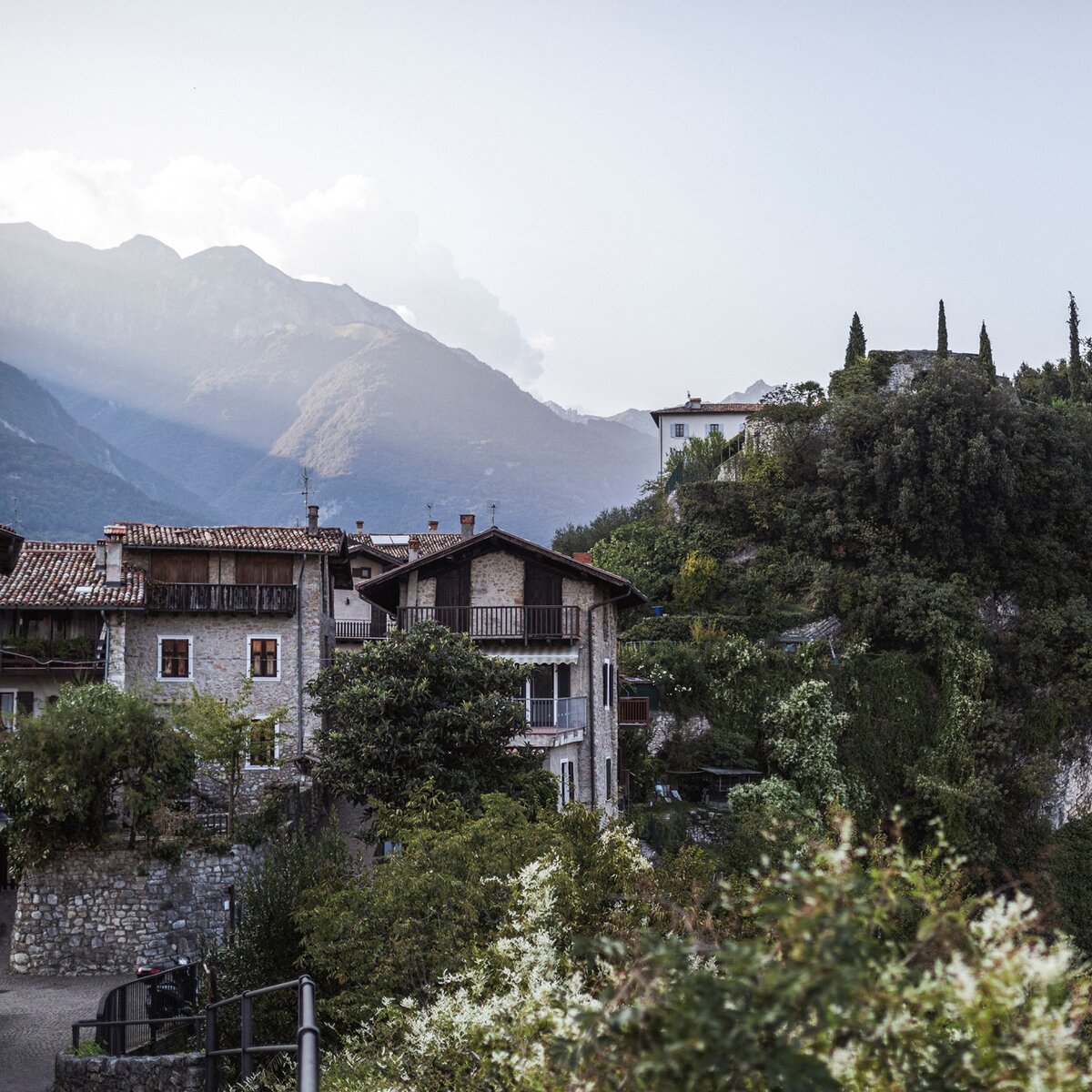
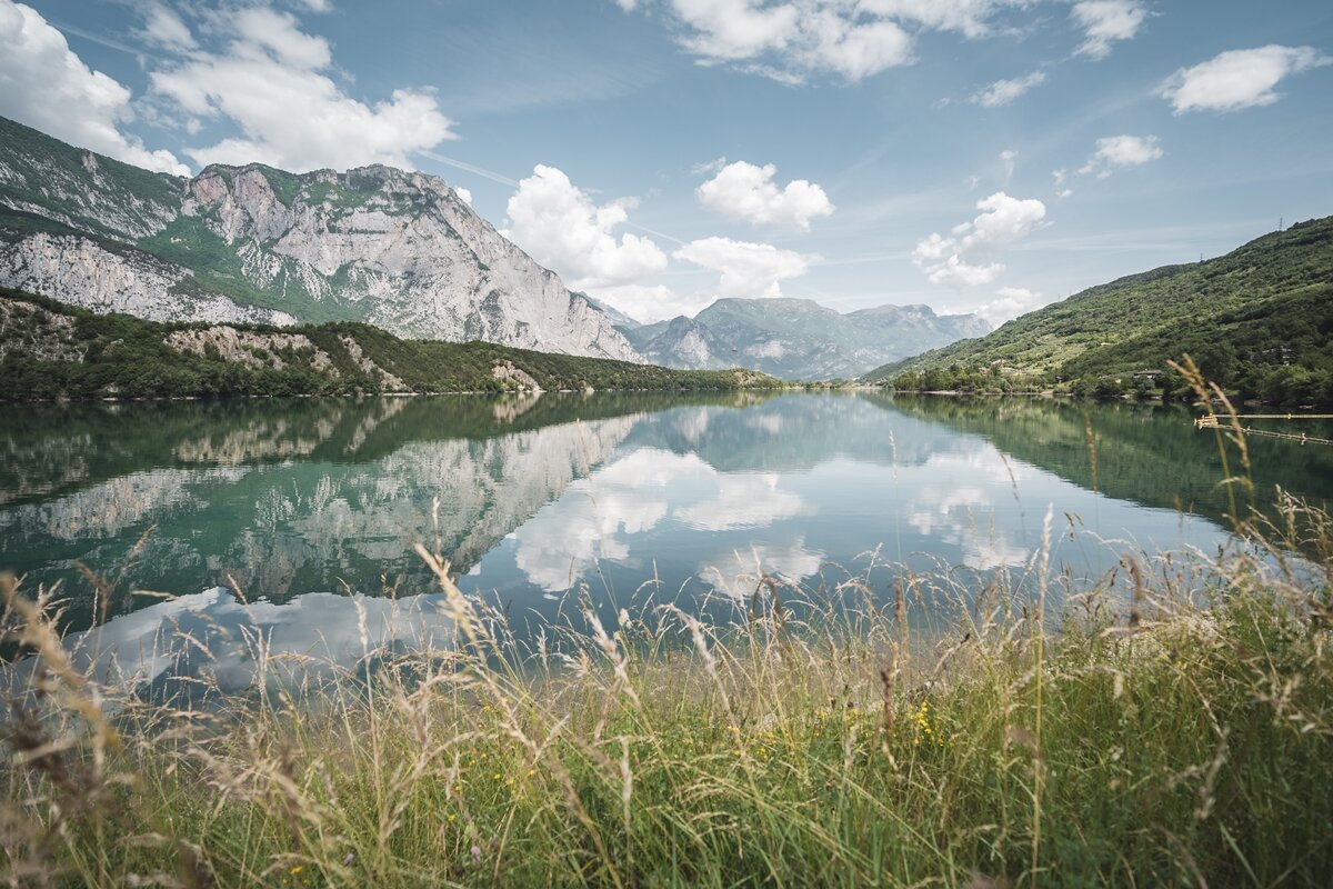
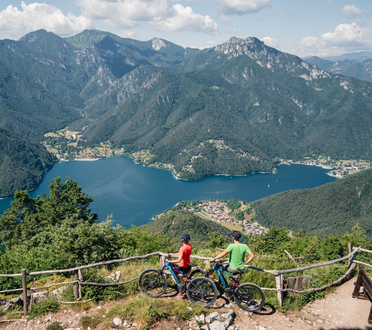
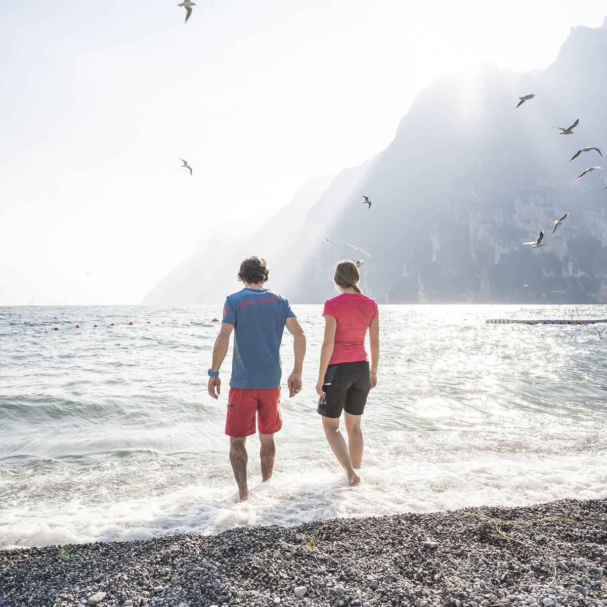
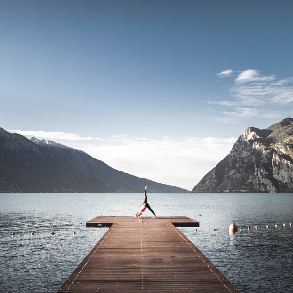
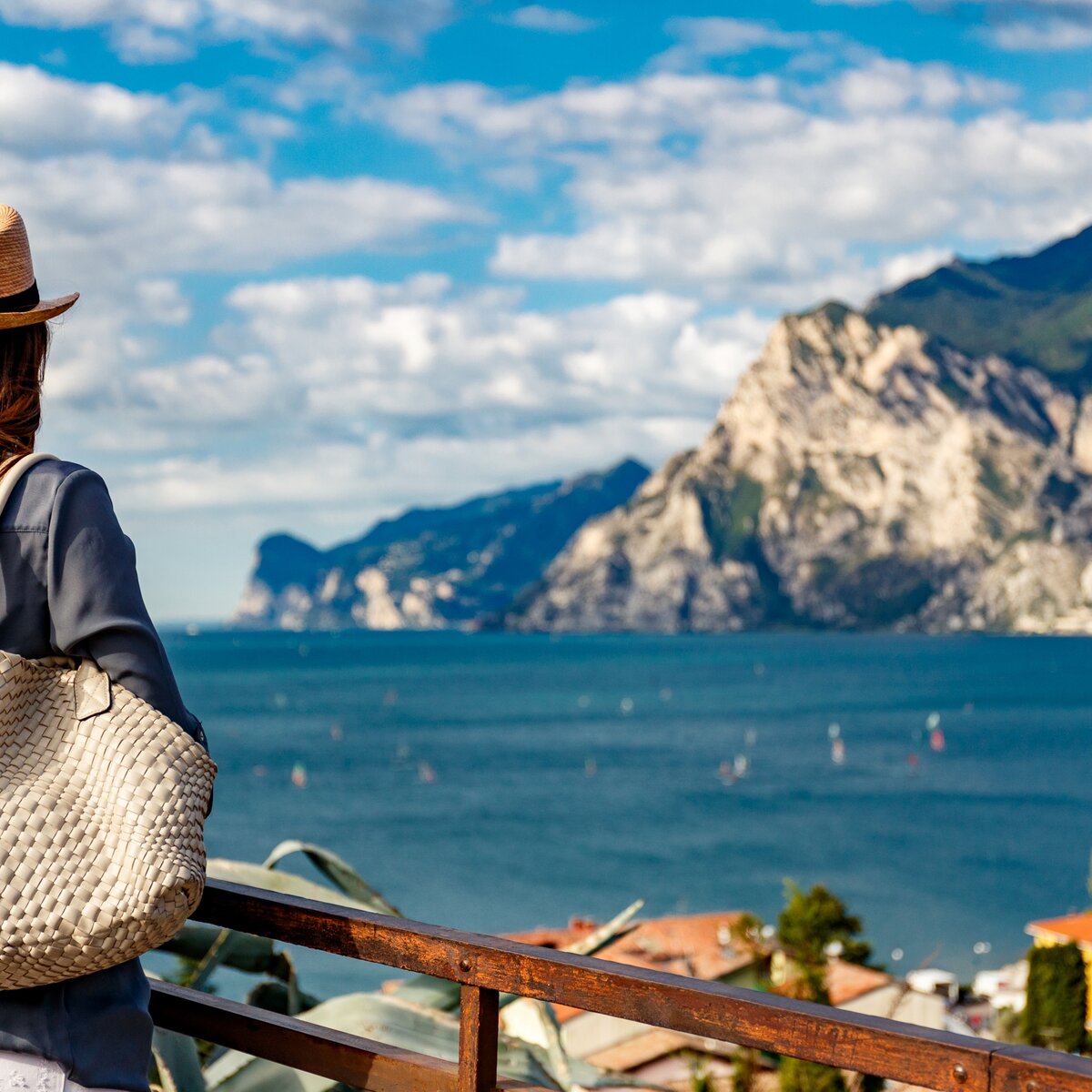
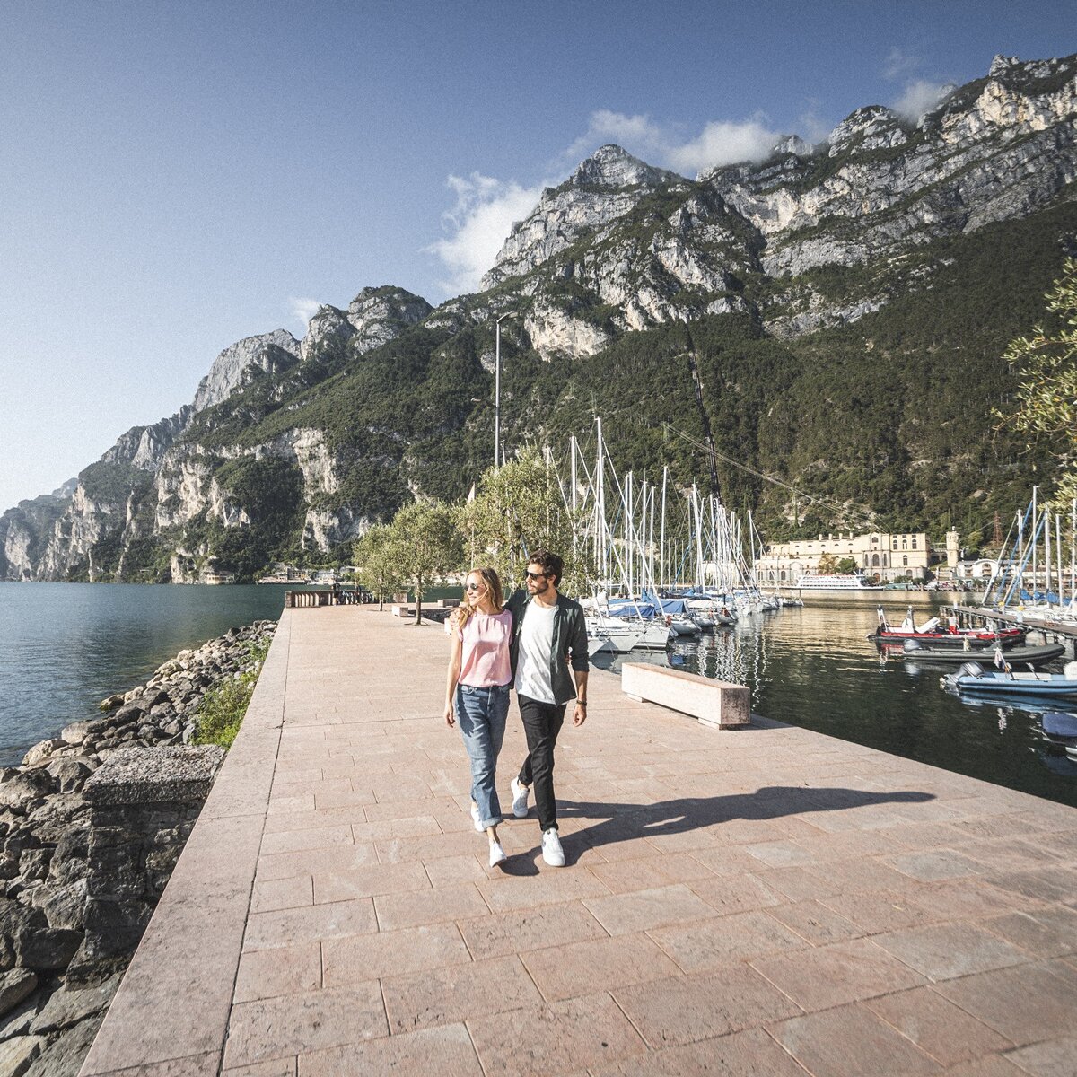
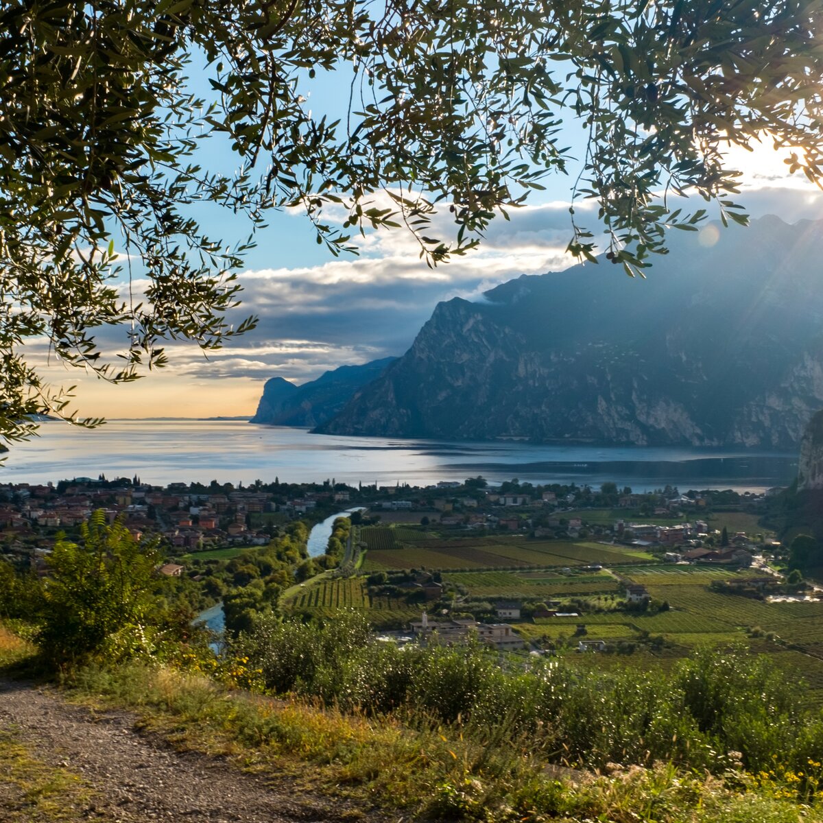
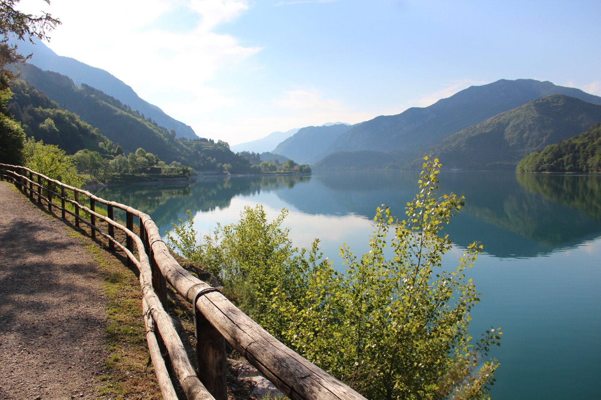
The route begins along the shores of Lake Ledro towards Pieve di Ledro. This flowing opening stretch is ideal for finding your rhythm and enjoying the views across the water. At Pieve, the perspective changes as you climb onto the hillside above the lake and join the Ledro Trek Low, also known as the Sentiero dei Paloni.

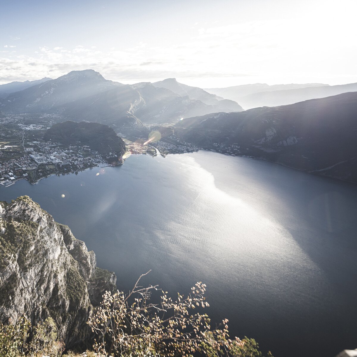
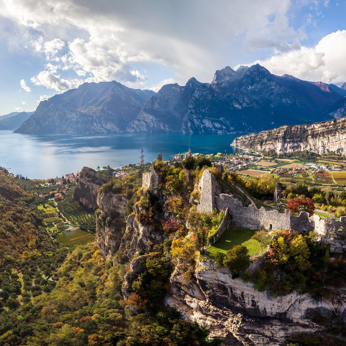
The return leg features alternating climbs and descents, woodland sections and scenic views of the lake. Above Mezzolago, one final short climb joins the Ledro Sky – Senter de le Greste route before the descent back into the village and on to the finish.

A compact yet varied loop for runners who enjoy combining lakeside running with trails and testing their legs over a shorter distance.
details
  • Scenic
  • Insider tip
  • Round trip
  • Flora
Route info
Intermediate
Route number
Distance
8,4 km
Duration
2 h 00 min
Altitude difference (+)
433 m
Altitude difference (-)
436 m
Physical effort
Scenary
Highest point
963 m
Lowest point
652 m
Suggestions
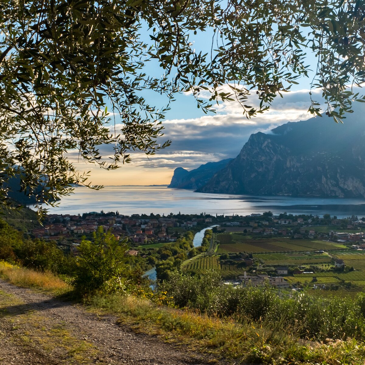
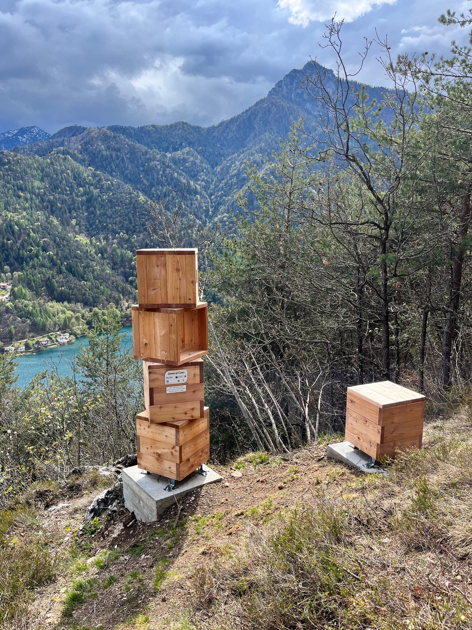
Along the Sentiero dei Paloni, take a moment to admire Lake Ledro from above before the final descent.
You might be interested in
Discover related tours
Bocca Saval | © Garda Trentino Trail , Garda Trentino
Difficult
Riva del Garda
From Campi to Bocca Saval, alongside the traces of the Great War
Distance 15,6 km
Duration 4 h 00 min
Altitude difference (+) 1.205 m
Altitude difference (-) 1.205 m
Status
open
Church of Tiarno di Sopra | © Staff Outdoor Garda Trentino AC, Garda Trentino
Easy
Ledro
Santi Pietro e Paolo
Distance 8,9 km
Duration 1 h 30 min
Altitude difference (+) 300 m
Altitude difference (-) 300 m
Status
open
Cima Giochello | © Garda Trentino Trail , Garda Trentino
Difficult
Riva del Garda
Vertical Crazidei
Distance 11,7 km
Duration 3 h 30 min
Altitude difference (+) 1.501 m
Altitude difference (-) 1.501 m
Status
open
View from the top of Monte Misone | © Archivio Garda Trentino - Foto G.P. Calzà, Garda Trentino
Difficult
Comano, Tenno
Trail running to Mount Misone
Distance 19,3 km
Duration 4 h 40 min
Altitude difference (+) 1.437 m
Altitude difference (-) 1.436 m
Status
open
Garda Trentino Trail 2018 - la Ponale | © Galvagni Foto - Archivio Garda Trentino Trail, Garda Trentino
Difficult
Tenno, Arco, Ledro, Riva del Garda
Garda Trentino Trail
Distance 69,3 km
Duration 16 h 00 min
Altitude difference (+) 4.519 m
Altitude difference (-) 4.529 m
Status
open
Ledro Sky | © Francesco Bergamaschi, Garda Trentino
Difficult
Ledro, Riva del Garda
Ledro Sky Trentino
Distance 20,9 km
Duration 5 h 00 min
Altitude difference (+) 1.700 m
Altitude difference (-) 1.700 m
Status
open