A hike through some of the First World War sites where the Italian Futurists fought
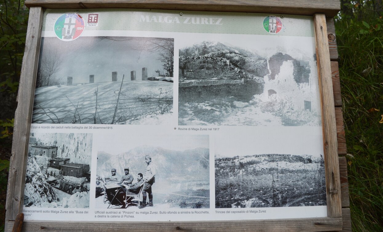
This area bears many traces of the First World War. Malga Zures, fortified by the Austro-Hungarians with a complex system of tunnels was a particularly important point on the Front and the target of a particularly violent assault by the Italian army in 1915. The position was held by the imperial troops until the end of the war, but the Italians took up position in the immediate vicinity at Doss Casina (which became the hub of the Italian front line), as well as Doss Remit and Dosso Alto.
During the early months of the war, a number of Italian Futurists who belonged to the Voluntary Cyclist and Automobile Driver Battalion were posted at Doss Casina: these included Filippo Tommaso Marinetti, Umberto Boccioni, Mario Sironi, Luigi Russolo, Antonio Sant'Elia and Antonio Bucci. For them, the experience on the Front was an unforgettable experience which they speak about in their private correspondence and diaries but also in their sound poetry and the “Manifesto of Futurism – Italian Pride”.


For more information on routes, services (guides, mountain huts, shops etc.) and hiking friendly accommodation: Garda Trentino - +39 0464 554444
An itinerary along the former border between the Kingdom of Italy and the the Austro-Hungarian Empire during the First World War.
Safety Tips
This information is subject to inevitable variations, so none of these indications are absolute. It is not entirely possible to avoid giving inexact or imprecise information, given how quickly environmental and weather conditions can change. For this reason, we decline any responsibility for changes which the user may encounter. In any case, it is advisable to check environment and weather conditions before setting out.
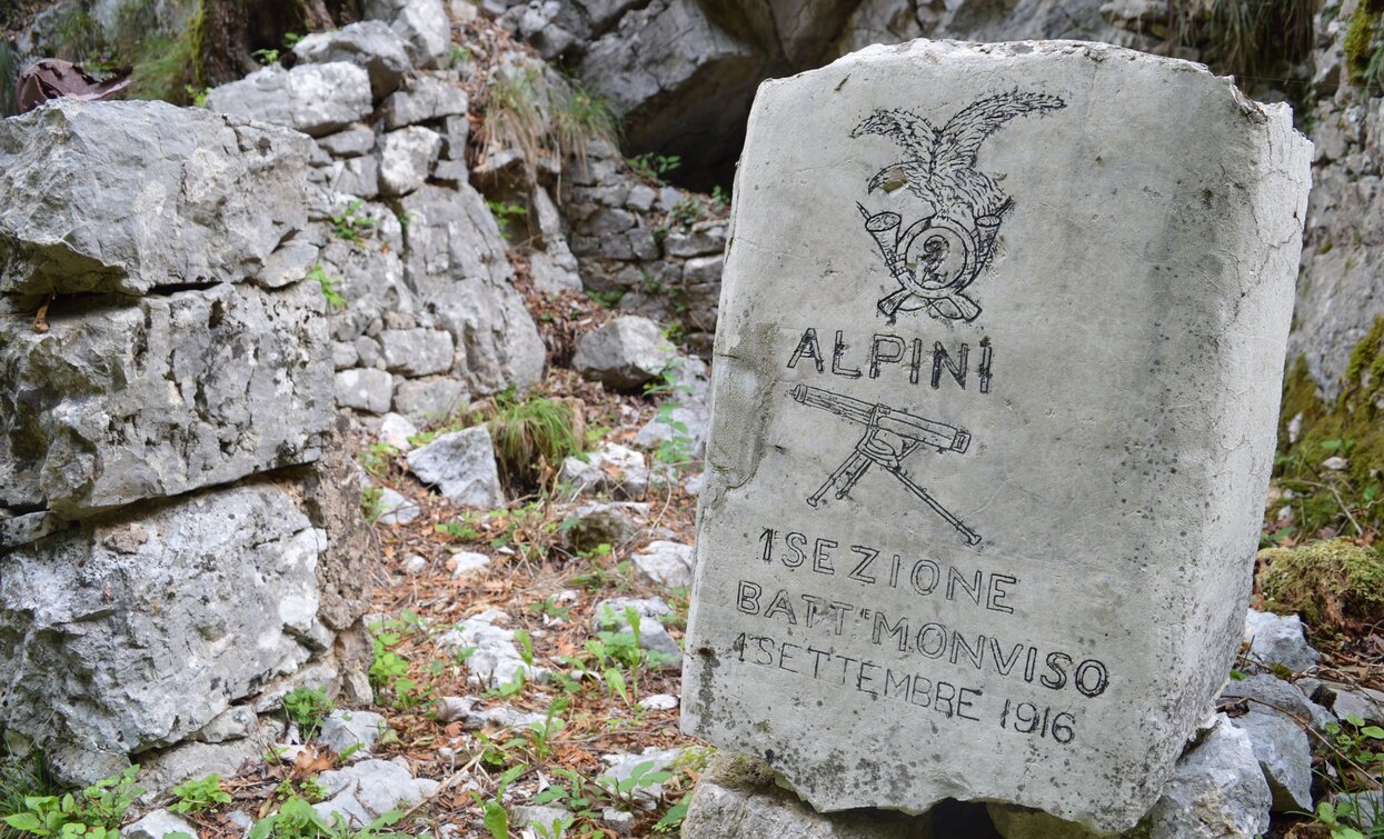
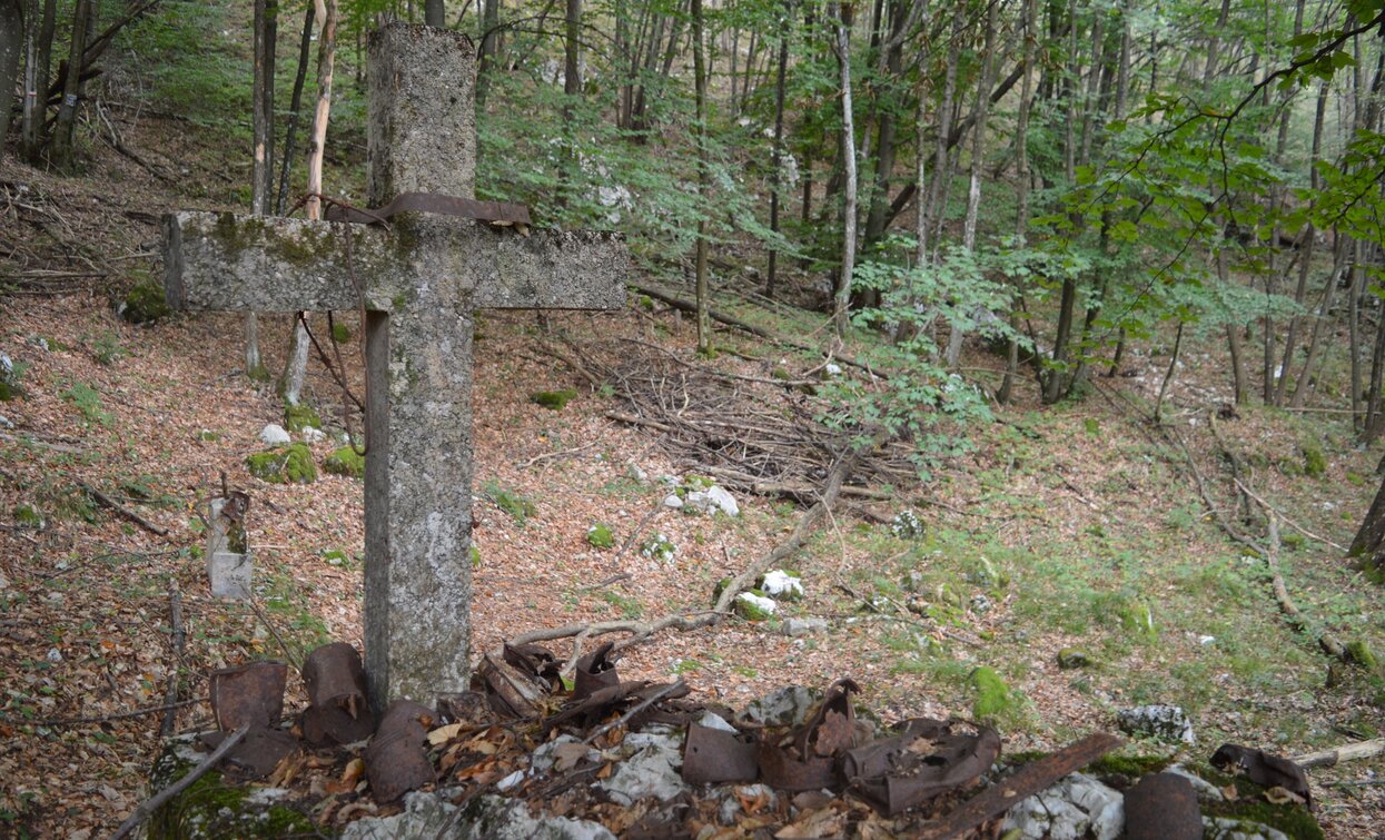
From Malga Zures take the Peace Trail SAT 601 (Sentiero della Pace) to Dos Casino passing through trenches, defence posts and barracks from the First World War. A short detour from the main trail leads up to the peak of Doss Casina (panoramic viewing point: the Italian defence post was in a straight line of view with the main Austro-Hungarian defences - Brione, Rocchetta, Tombio, Creino, Biaena) and the little chapel built here by serving soldiers in 1916. At the turn-off follow directions for SAT 601C which leads to the Garbegne military encampment and the Sasso Sega military cemetery. Turn onto SAT 601B to get to Dosso Alto, the scene of numerous battles. Head back to the main trail and down to Malga Zures.
I centri principali del Garda Trentino - Riva del Garda, Arco, Torbole sul Garda, Nago - sono collegati da diverse linee bus urbane ed extraurbane, che permettono di raggiungere i punti d'accesso ai percorsi.
Riva del Garda e Torbole sul Garda sono raggiungibili anche con il servizio di navigazione pubblica.
Informazioni aggiornate su orari e tratte.
Attention! Malga Zures is not served by any public transport service.
You can get to Malga Zures from Nago by the tarmac road for Monte Baldo (approx. 10 km).
Free parking at Malga Zures.
You need to wear the right clothing and take the proper gear when you go hiking in the mountains. Even on relatively short easy outings make sure to take all you need so you don't run into trouble if things take an unexpected turn, for example a storm blows up or you have a sudden drop in energy levels.
What should you take when you go on a hike?
Your rucksack (for a day trip a 25/30L capacity should do) should contain:
Make sure you're wearing the right footwear for the trail and season. The going can get rough and rocky underfoot and a pair of hiking boots will protect you from sprains. When wet, a grassy slope, rocky slab or steep trail can be dangerous unless you are wearing the proper footwear.
And finally... don't forget to bring your camera! You'll need it to capture the stunning views you come across all over Garda Trentino. And if you like, you can share your memories with us at #GardaTrentino.
Emergency telephone number 112.

