Directions
From the tourist information office in Riva del Garda head towards the roundabout beside the post office, then continue on down viale Damiano Chiesa and turn left following directions for Limone sul Garda. Immediately after, at the roundabout, keep going straight. Take the first road on the right (Via Ardaro). Turn right and keep going down via Marone; towards the end of the road, on the right, the cycle path allows you to bypass the roundabout. After the roundabout, continue along the other side of the road until you come to the second roundabout and take the third exit. Now you are on a gentle uphill road. When you come to the stop sign, turn left. You are now in Varone, a quarter of Riva del Garda.
After the traffic lights, take the cycle path on the right hand side of the road and continue along the little stream. At the end of the cycle path, cycle uphill along the main road for a short distance. After a few hundred metres you come to a signpost on the left for the waterfall Grotta Cascata del Varone.
Continue down the main road and, at the next junction, keep to the right. When you come to the traffic lights, turn left towards Ceole. Here there is a short downhill stretch which leads to the convent of the Madonna delle Grazie. Turn left at the stop sign, and stay on the main road for a brief stretch then turn left again towards San Giovanni al Monte, then right into Via San Giuseppe. You are now in Varignano.
After the stop take the first road on the right and after the next stop, turn left and you come to Vigne, another little hamlet under the municipality of Arco. Head down via Verdi until you come to the church, then turn right into via Passo Buole. At the end of the road, turn right and then left. You are now on the main road (via Capitelli). Shortly before the centre of Arco, the road bends to the right. Here you go straight into viale delle Magnolie, a pedestrian street which takes you right into the centre.
Leaving the collegiate church behind you, take via Segantini on the right and head down to the end of the road where you turn left. Now you cycle down via Caproni Maini, a wide road with a good surface. The road continues uphill, downhill and along the flat. The rock face of Colodri are on your left, while on the right, apple orchards and vineyards follow the course of the River Sarca. When you come to the Roman bridge of Ceniga turn right towards the town. Folow the road towards Dro. Cross through the centre until you come to a roundabout where you take the third exit. After a short stretch cycling among the houses, you come to the start of the protected cycle path for bikes only.
Follow the signposts along the cycle path with the River Sarca on your left. Be careful: when you come to the Fies Power Station, the cycle path has a very steep cement stretch. The cycle path now continues towards Pietramurata, cuts through the centre and heads north, in an area which is totally flat. The cycle path ends at Sarche. Here you turn right and then immediately turn right.
At the roundabout take the second exit towards Ponte Oliveti. Here you stay on the main road, following directions for Riva del Garda. The road passes through Pergolese, a small residential area, and leads to Lake Cavedine. Here you turn right, cross the bridge and go back onto the cycle path which follows the lake for a while before heading across the countryside. Follow directions until you come to a junction where you turn left. A series of pleasant uphill and downhill stretches and the cycle path takes you to the “taglio del Sarca”, where you begin a nice downhill stretch through the woods.
The route now hooks up with the cycle path you took on the way out, near the Fies Power Station. Watch out for the steep concrete stretch which you now have to take downhill. Follow signposts back to Dro and Ceniga. On the other side of the town, after the sports grounds, follow directions back to the cycle path. Continue for a few kilometres on the track along the River Sarca until you come to a bar on your left. Here you leave the track and head uphill on a paved laneway. Cross the road at the traffic lights and turn right. Following the road you come to San Martino where you pass underneath an archway. At the stop sign, turn left and then left again until a portico which leads to piazza Massone.
Keep going straight through vineyards and olive groves until you come to Bolognano and then Vignole. At the traffic light, cross the road and turn left. After a riding ground on the left, at the end of the road turn right and continue down the main road to Pratosaiano. The road continues as far as a roundabout. Here you take the third exit and follow directions for the cycle path. Once you are on it, follow it as far as the pathway along the River Sarca. Cross the river, turn onto the cycle path which takes you to Torbole. At the mouth of the river, turn right. You soon come to the stretch of cycle path overhanging Lake Garda. Follow directions to the lake shore cycle path and in no time you will be back at your starting point.

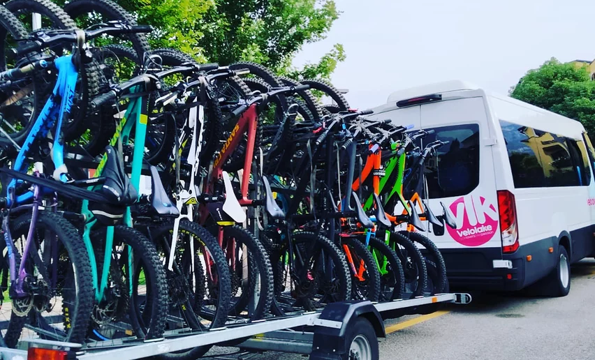
 | © Archivio APT Garda Trentino (ph. Vuilleumier) , Garda Trentino")
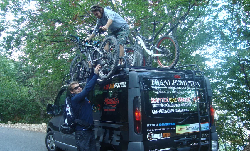
, Garda Trentino")