aria.quick_link.navi aria.quick_link.skiptomaincontent aria.quick_link.footer
Garda Trentino Logo
Top

Ciclabile Arco - Torbole - Nago

Torbole sul Garda - Nago, Arco

Category
Difficulty
Easy
Duration
1:10
Duration in hours
Distance
13.6
Distance in km
Status
open
Suggested period
Jan
Feb
Mar
Apr
May
Jun
Jul
Aug
Sep
Oct
Nov
Dec
A new cycling loop connects Arco, Torbole and Nago via a spectacular panoramic section overlooking Lake Garda. A strategic connection that opens up new cycling opportunities towards the Adige Valley.
New panoramic cycle path between Arco, Torbole and Nago

This enjoyable loop route connects Arco, Torbole and Nago thanks to the new cycle path section built in Nago, creating a connection that will impress every cycling enthusiast.

Starting from the Caneve parking area in Arco, follow the cycle path along the Sarca River to Torbole sul Garda. After passing through the historic centre, the route continues towards Nago along the historic Nago Vecchia road.

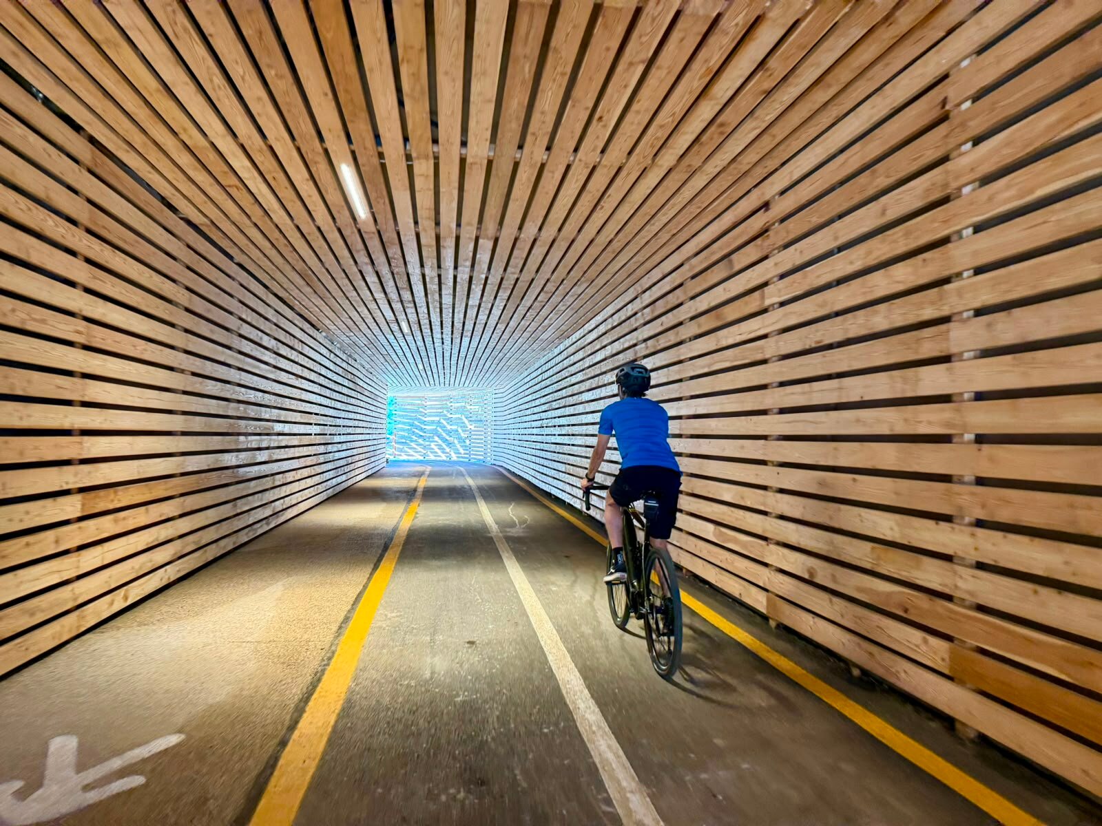
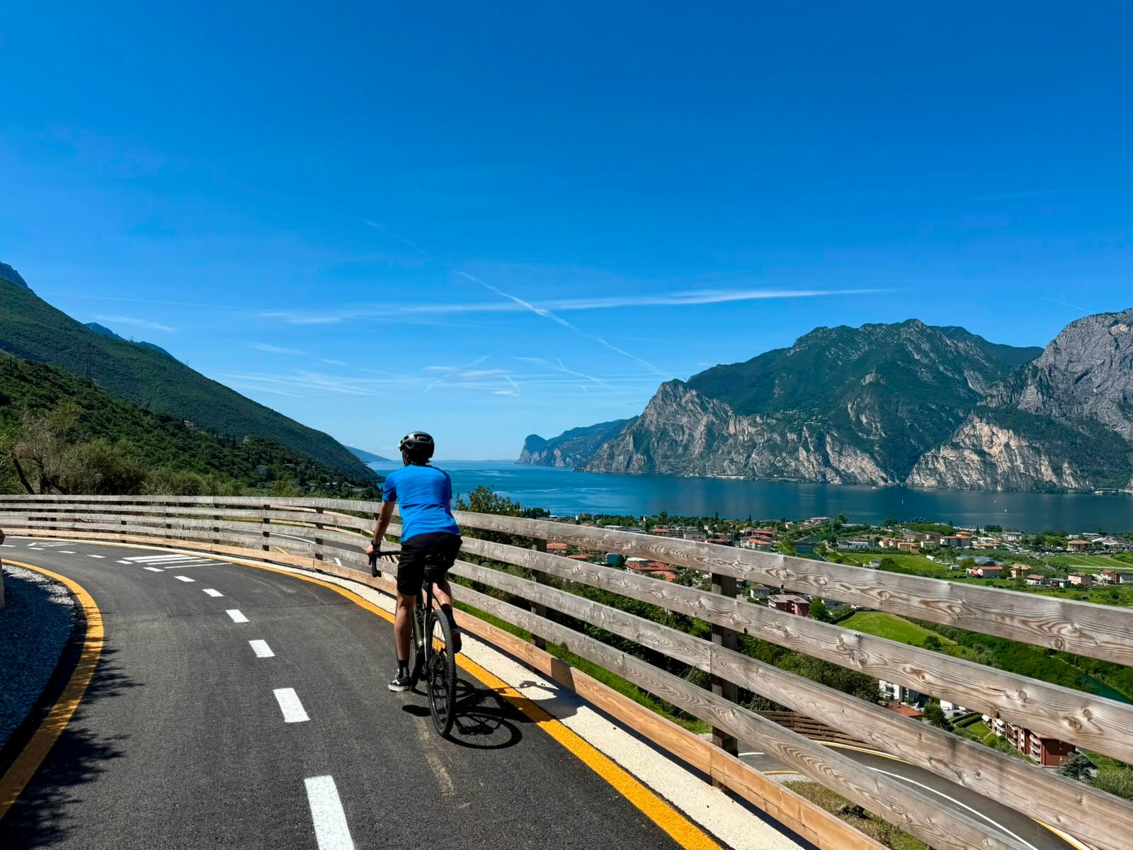
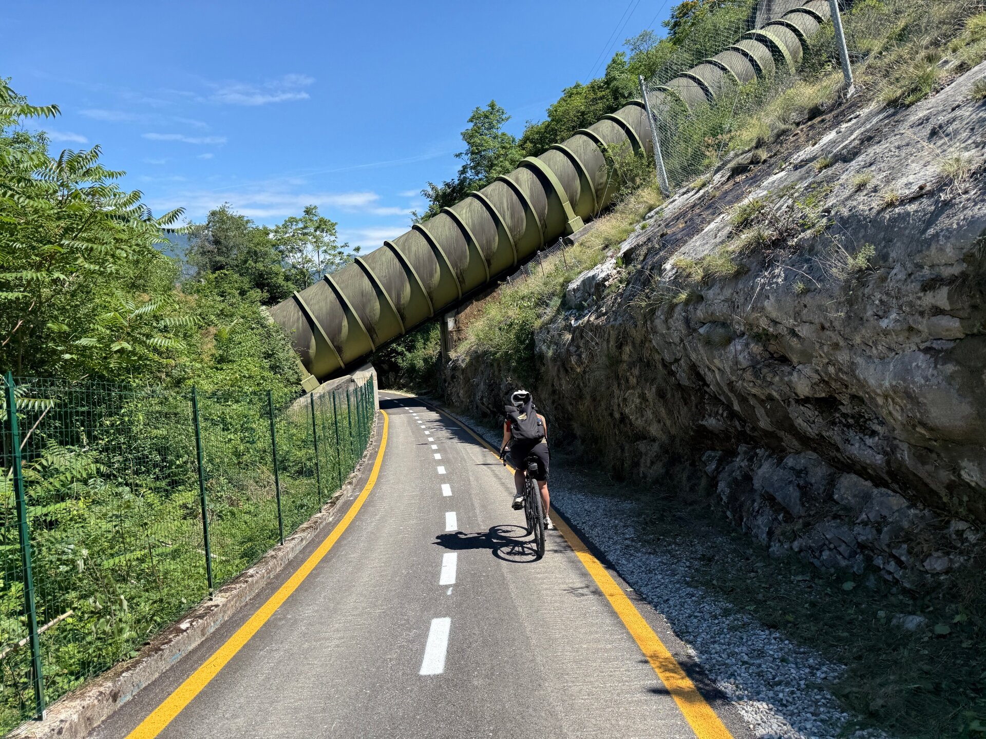
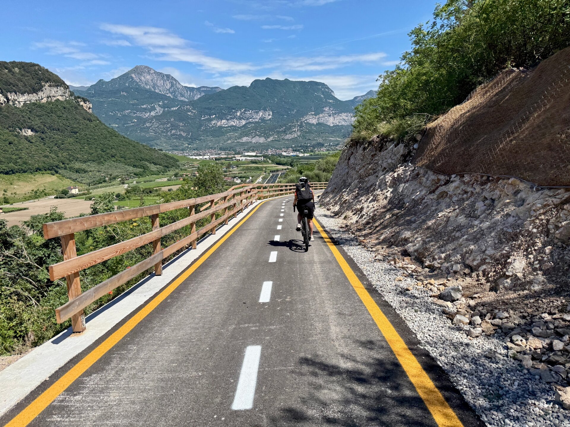
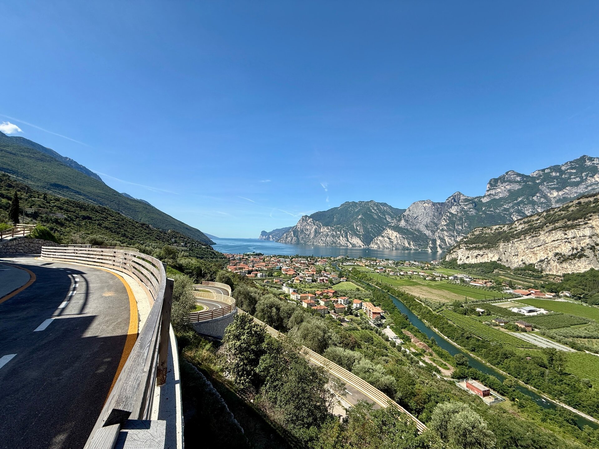
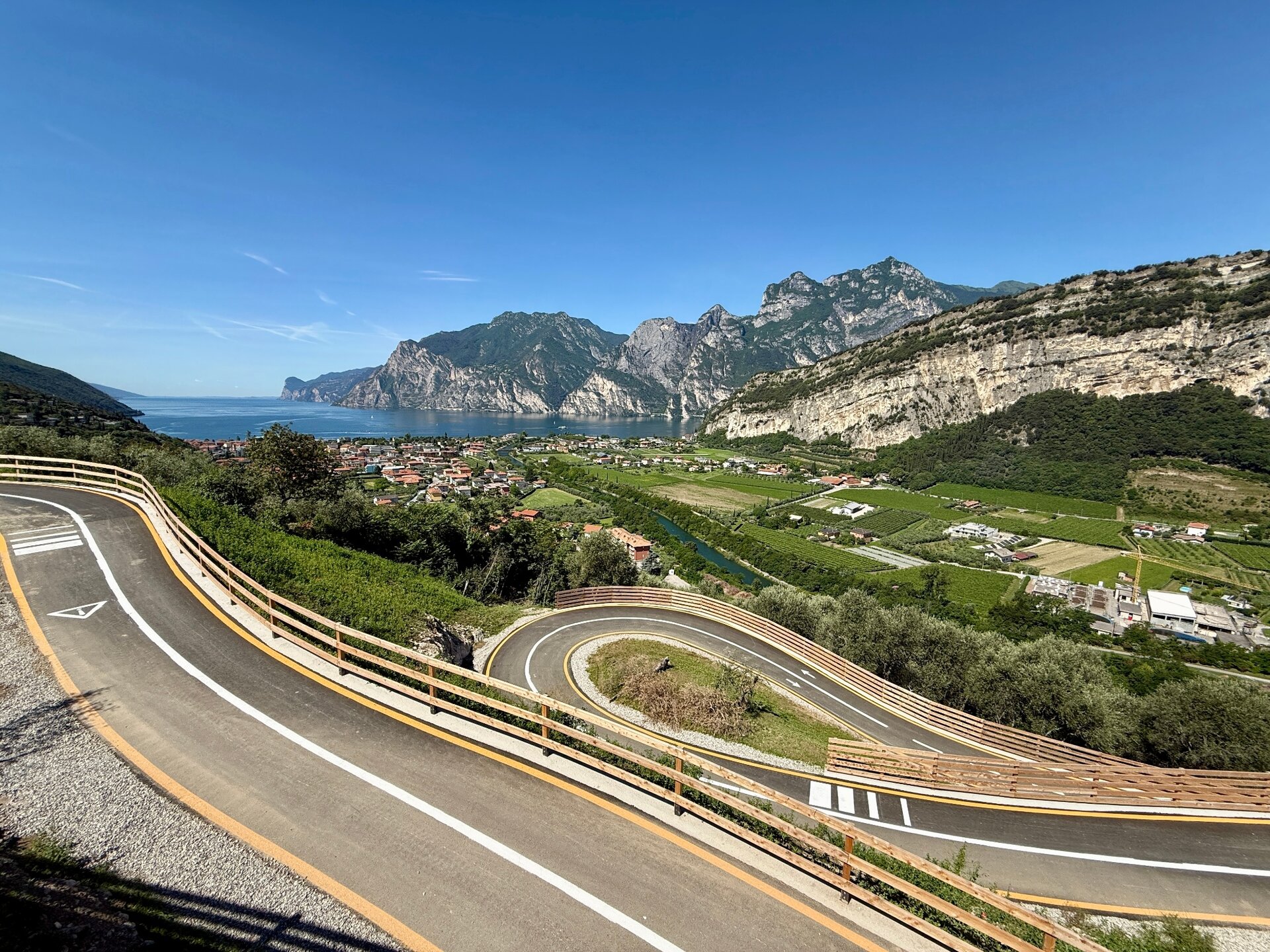
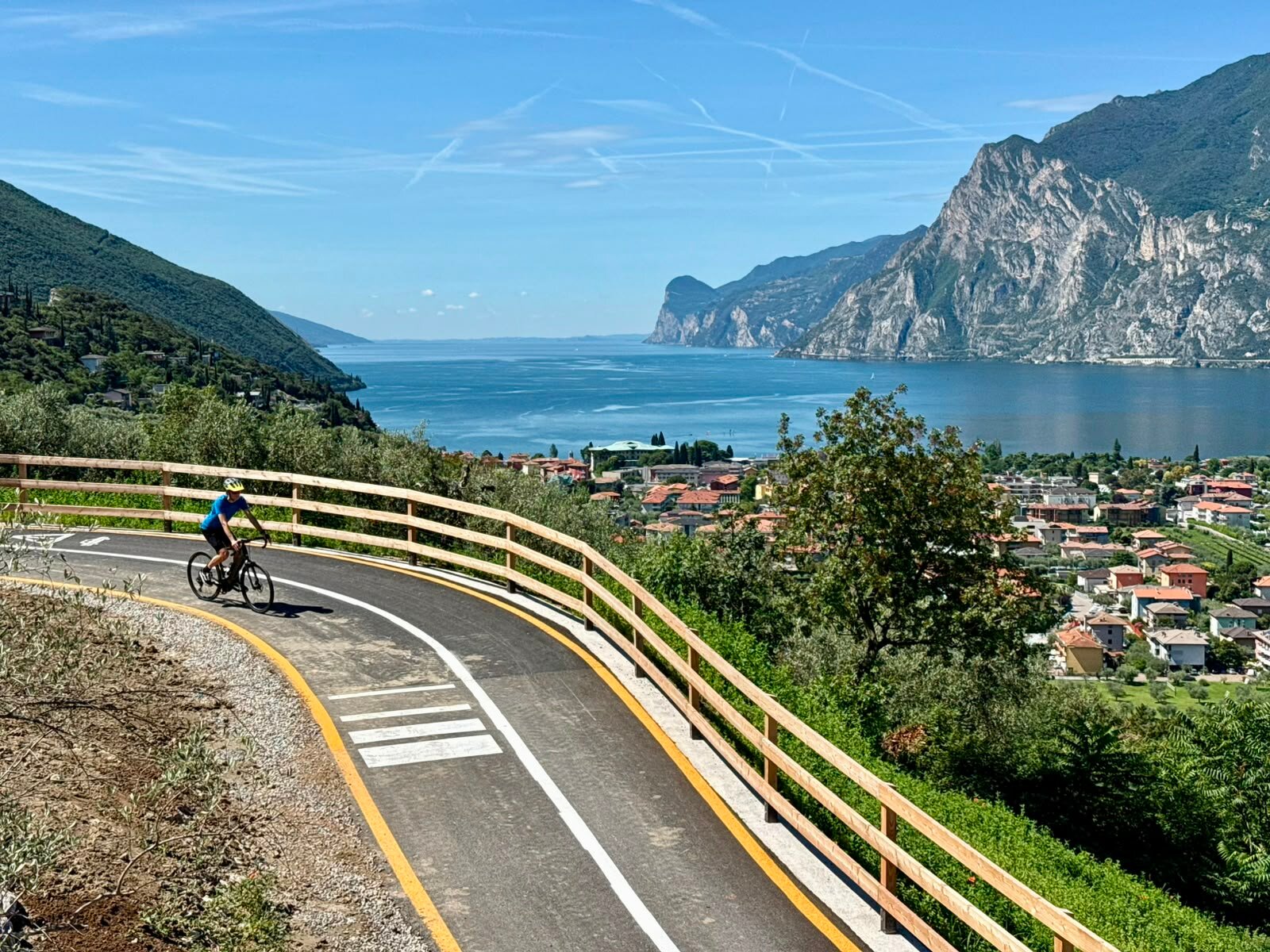
Once you reach the main roundabout in Nago, you'll encounter the real highlight of the route: the new cycle path connection leading back towards Arco. After a short tunnel, the landscape suddenly opens up to reveal Lake Garda, offering one of the most scenic viewpoints of the entire route. From here, the cycle path descends with a gentle gradient and wide bends, providing continuous views of the lake and the surrounding mountains. The route then joins the historic Porcilaia road towards Arco.

Crossing the countryside of Pratosaiano, you eventually return to the starting point. This brand-new section in Nago also makes it possible to continue cycling towards the Adige Valley (Nago, Loppio, Mori, Rovereto and beyond) on dedicated cycling infrastructure.
Further information and useful links
You’ve already picked your cycling route—now all you need is the right support. Discover all the Bike Specialists in Garda Trentino: rentals, repair shops, and dedicated bike stores are ready to welcome you right here. 
details
  • Scenic
  • Insider tip
  • Round trip
  • Family-friendly
Route info
Easy
Route number
Distance
13,6 km
Duration
1 h 10 min
Altitude difference (+)
158 m
Altitude difference (-)
165 m
Technical skills
Physical effort
Scenary
Highest point
213 m
Lowest point
66 m
Suggestions
From the trail, you can admire the full beauty of Lake Garda, with sweeping views stretching from the northern shores to the south.
You might be interested in
Discover related tours

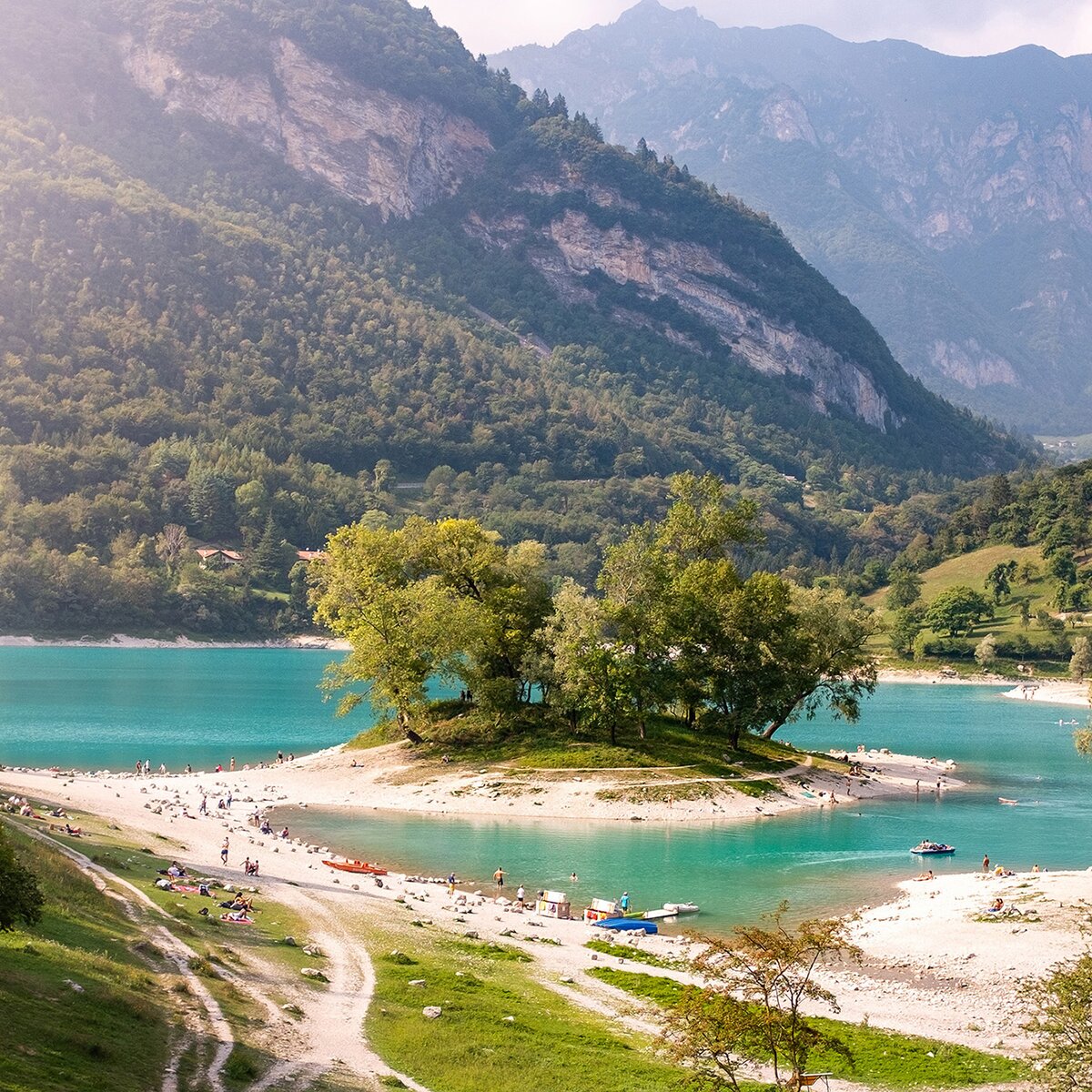
Lake of Terlago | © Ecomuseo Valle dei Laghi, Garda Trentino
Intermediate
Valle dei Laghi
Lakes Cycle Path: Padergnone – Terlago

Distance 9,7 km
Duration 1 h 00 min
Altitude difference (+) 212 m
Altitude difference (-) 76 m
Status
open
The Marocche area (on the right, in the background, lake Cavedine) | © Archivio APT Garda Trentino (ph. R. Vuilleumier), Garda Trentino
Easy
Valle dei Laghi, Arco, Dro & Drena
4.The Sarca Valley and Lake Cavedine: from Arco to Sarche
Distance 36,7 km
Duration 2 h 50 min
Altitude difference (+) 254 m
Altitude difference (-) 263 m
Status
open
Cyclists along the DoGa, from the Brenta Dolomites to Lake Garda | © Azienda per il Turismo Madonna di Campiglio FA, APT Madonna di Campiglio, Pinzolo, Val Rendena
Difficult
Riva del Garda, Comano, Tenno
Dolomiti-Garda Alpine Cycling / Male - Riva del Garda
Distance 109,7 km
Duration 14 h 00 min
Altitude difference (+) 2.598 m
Altitude difference (-) 3.280 m
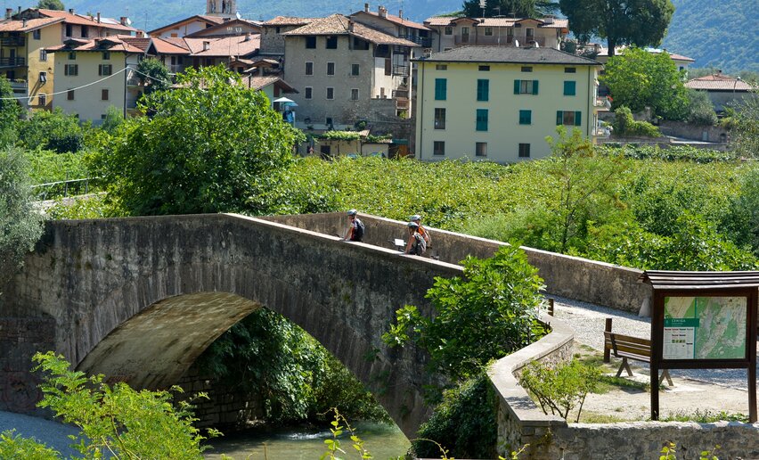
The Roman Bridge in Ceniga | © Archivio Garda Trentino, North Lake Garda Trentino
Intermediate
Dro & Drena, Valle dei Laghi, Arco
4.2 North on the Sarca cycle path: from Arco to Sarche
Distance 38,3 km
Duration 2 h 55 min
Altitude difference (+) 228 m
Altitude difference (-) 227 m
Status
open
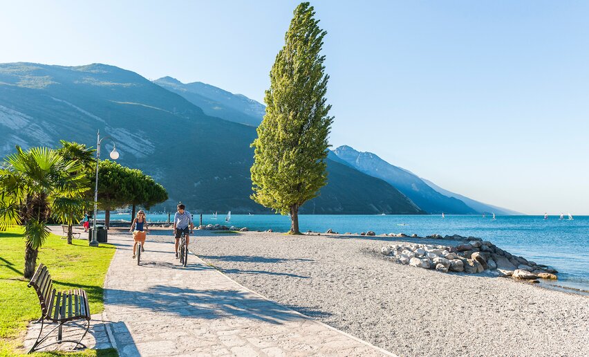
The cycle path in Torbole, beside the beach | © Archivio APT Garda Trentino , Garda Trentino
Easy
Torbole sul Garda - Nago, Arco, Riva del Garda
Around Monte Brione
Distance 12,9 km
Duration 55 min
Altitude difference (+) 23 m
Altitude difference (-) 25 m
Status
open
© Roberto Vuilleumier, Garda Trentino
Easy
Ledro
Biking round Lake Ledro
Distance 10,8 km
Duration 1 h 30 min
Altitude difference (+) 25 m
Altitude difference (-) 25 m
Status
open