
The tour goes through the upper part of Valle di Ledro, climbs up to Malga Stigolo, descends to Lake Idro skirts the river Chiese and climbs back up to Valle di Ledro via Passo Giovo. A real up and down!
Signage: 774. Ampola Storo Trail - Tour
This tour alternates between long stretches of cycle path and forest road and mostly runs along the valley floor and below the forest line, not reaching high altitudes. The rather high drop is due to the double climb, first from Valle di Ledro to Stigolo and then from Valle del Chiese to Passo Giovo.
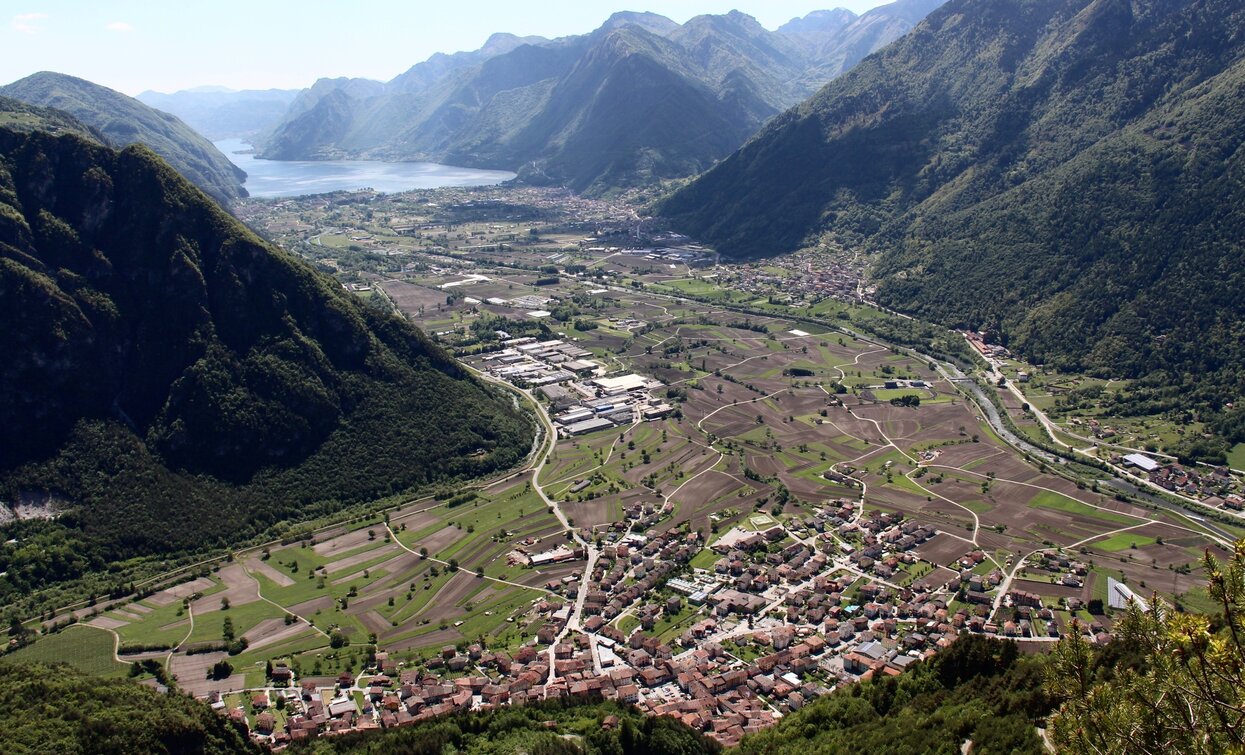
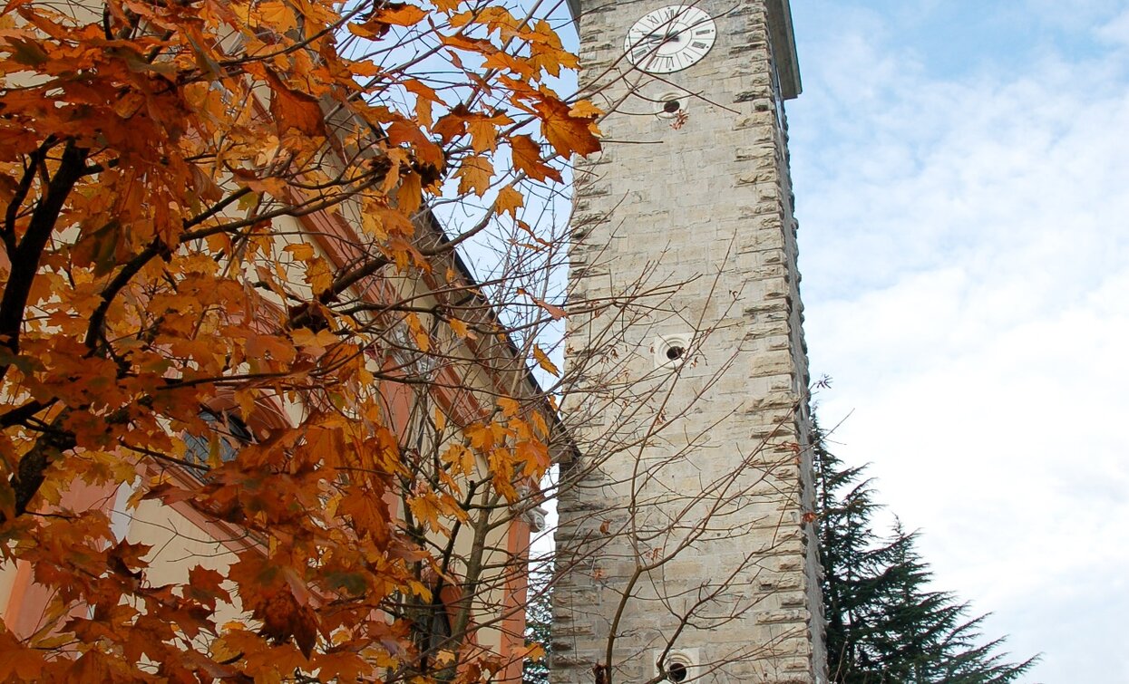
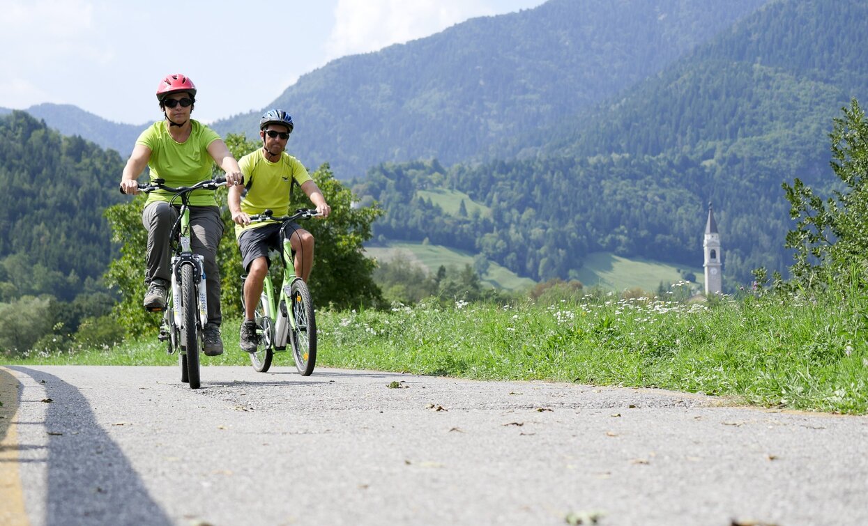
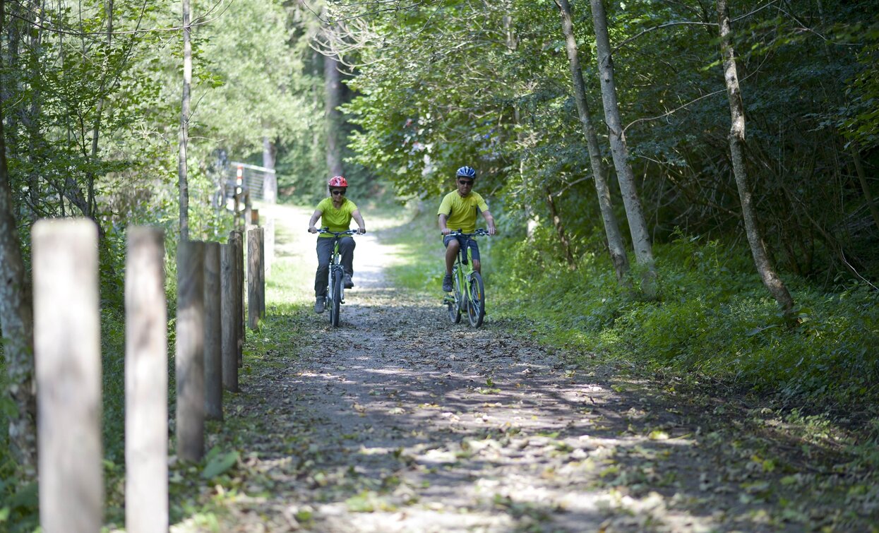

The village of Storo is famous for its red gold. You will not find any mines, however, only fields of bright red maize that is transformed into flour and polenta.
ITRS - International Trail Rating System
The ITRS is an objective way to assess trails and routes from a biker’s perspective, evaluating four aspects:
Discover more about the ITRS system and check the classification of this tour in the photo gallery.
Safety Tips
This information is subject to inevitable variations, so none of these indications are absolute. It is not entirely possible to avoid giving inexact or imprecise information, given how quickly environmental and weather conditions can change. For this reason, we decline any responsibility for changes which the user may encounter. In any case, it is advisable to check environment and weather conditions before setting out.
Commencing from the square in Tiarno di Sotto, we pass by the church and turn left onto Via Roma. Crossing the state road, to join the cycle path. Following the cycle path until the end of the tarmac near Lake Ampola, we make a right turn. We cross the state road once more and take the forest road on the opposite side, adjacent to the agriturismo. Ascending for approximately 9 km, disregarding the forks we pass along the road, we reach Corda, initiating our descent towards Storo, continuing along the forest road. Passing the small church of San Lorenzo and two hairpin bends, we turn onto a small paved road on the right, which serves as a short cut to join the Valle del Chiese cycle path near the hydroelectric power plant. From this point, we follow the cycle path for around ten kilometres, passing through the villages of Condino and Cimego, alongside the Chiese River, which lends its name to this portion of the Giudicarie area. After cycling through the park in the locality of Fucine and crossing the bridge over the Chiese River, instead of continuing left onto the cycle path, we take the small tarmac road on the right. This road zigzags upwards towards Passo Giovo and turns into a forest road after roughly 3 km. Descending from Passo Giovo towards Tiarno di Sopra, we remain on the forest road, eventually returning to Tiarno di Sotto by following the cycle path.
Valle di Ledro is connected to Riva del Garda by the intercity bus line 214 (Riva-Valle di Ledro-Storo).
Up-to-date information on timetables and routes.
Parking in Piazza San Giovanni Bosco in Tiarno di Sotto, in front of the church.
Riding your bike requires specific clothing and equipment, even for relatively short and easy trips. It is always better to be prepared… e.g. for bad weather or a sudden drop in your energy levels. The unexpected things are part of the fun!
Remember to thoroughly evaluate the type of route you plan on doing, the locations you intend to cross and the current season. Has it been raining? Attention: The paths may be slippery and require more caution.
What do I need to bring on my bike tour?
It is always advised to let someone know where you plan to go and how long you expect to be.
Emergency telephone number 112.


