16 hairpin bends up to the charming alpine pasture high above Drena.
Signage: 758. Malga Campo - Tour
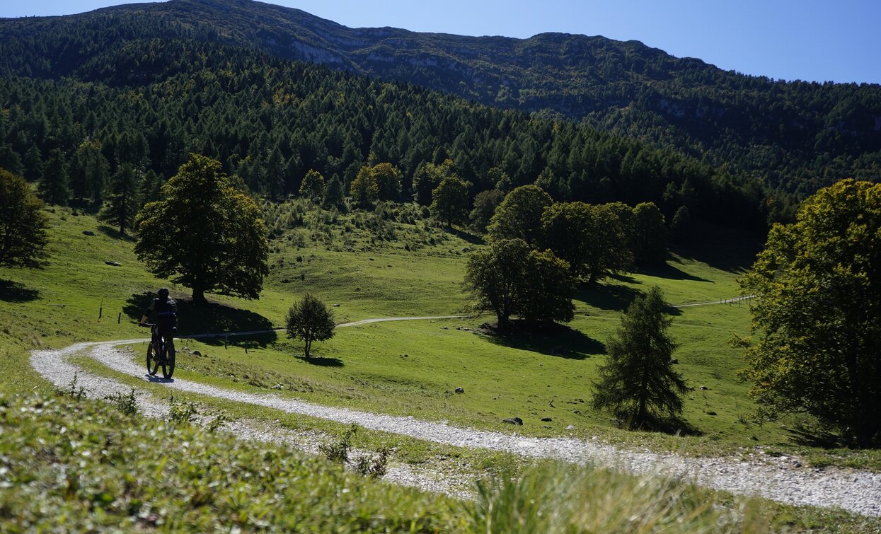
Starting from Arco, cycle the first eight flat kilometres through the Sarca Valley between grapevines and apple trees, before beginning the first climb up to Drena. You then pass through the village. After its last houses, take the road that leads to Malga Campo. A carved wooden board at the start describes the route: sixteen hairpin bends, all with names, lead in a constant gradient up to the alpine pasture. You could have cycled this far on a road bike, but from here things continue on gravel paths. Initially they are level and cross alpine meadows, but they get steeper as they pass forests and rocky terrain until you arrive at the highest point of the tour at a prominent wayside cross. Then begins the long descent via Carobbi to Braila, from which you can coast back to Arco on tarmacked minor roads.


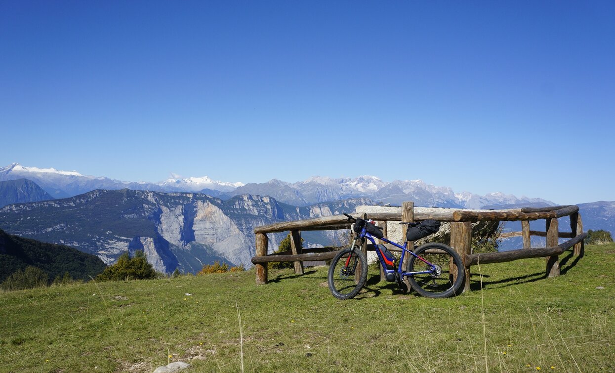
From Malha Campo, you can enjoy a fantastic view over to the Brenta group.
ITRS - International Trail Rating System
The ITRS is an objective way to assess trails and routes from a biker’s perspective, evaluating four aspects:
Discover more about the ITRS system and check the classification of this tour in the photo gallery.
Safety Tips
This information is subject to inevitable variations, so none of these indications are absolute. It is not entirely possible to avoid giving inexact or imprecise information, given how quickly environmental and weather conditions can change. For this reason, we decline any responsibility for changes which the user may encounter. In any case, it is advisable to check environment and weather conditions before setting out.
The starting point of the tour is the car park in Caneve. Take the cycle path and cross the river Sarca, then continue on the right bank for about 1 km, leaving behind the town centre of Arco and the Climbing Stadium in Prabi, where you need to cross the river once more to reach Moletta.
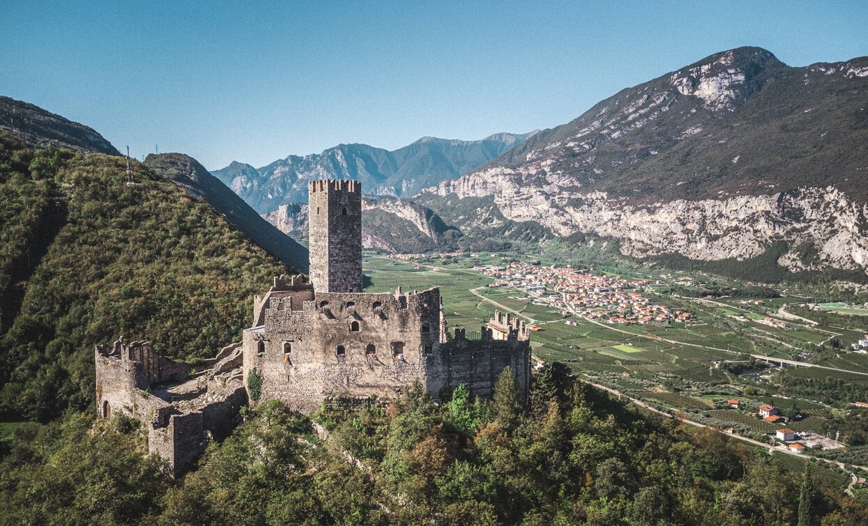
Keeping right on the road, head north for a few dozen meters until you reach a fork on your right, accompanied by route signage. Stay right to take this quiet country road. Following the route directions, continue straight until meeting the strada provinciale for Cavedine. Keep right here to stay on the provincial road, and begin to climb the wonderful hairpins bends leading up to Drena castle.
Just past the ruins, keep right to leave the main road and continue on to a secondary road that leads directly through the village of Drena. You are now on Via al Castello. Continue on to Via Giovanni Segantini, straight - through the greenhouses, until you reach a junction near La Casina Restaurant. Keep left here and follow the road until you reach Luch, where you will find clear directions for Maso Michelotti and Malga Campo. From here you can't go wrong: turn right following the signs for Malga Campo and simply stay on this road until you reach the destination. Once at the top, in the open meadows, turn around and have a look at the Brenta Group in the distance... You won’t want to leave!
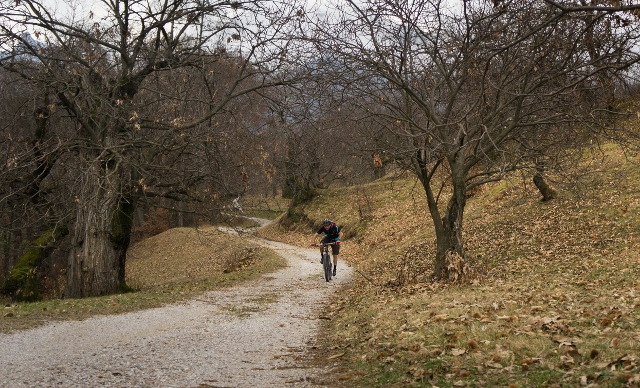
But leave you must: continue on the forest road for a short flat stretch, allowing for a quick breather, before facing the most challenging stretch of climb yet. Upon finally reaching the highest point of the route, near Malga Perini, you will immediately start your descent on the northern slope of Monte Stivo. Remaining on the forest road, the route signs guide you to the locality of Carobbi, with its impressive chestnut trees. Turn right here, continuing towards Braila.
At the end of the gravel road, keep left to ride through the village of Braila. At the end of the inhabited area, continue straight, and after another short stretch of gravel, continue to meet the main road originally proposed in the itinerary, running parallel to the the one through Braila. After passing Braila, keep going straight to Pianaura, where keeping to the right hand-side of the road, enjoy the downhill. After passing the famous Policromuro cliff (a favourite spot for climbers), you will find yourself in San Martino. Here turn right, where you can once again find the route starting point.
The main towns in Garda Trentino - Riva del Garda, Arco, Torbole sul Garda, Nago – are connected by several urban and intercity bus lines which will take you to the starting point of tours or in the immediate surroundings.
You can also get to Riva del Garda and Torbole sul Garda by the public ferry service.
Up-to-date information on timetables and routes.
Parking in Caneve (5 minutes walk to the town centre).
Paid parking: Foro Boario, near the bridge (Via Caproni Maini) or the post office (Via Monache).
Riding your bike requires specific clothing and equipment, even for relatively short and easy trips. It is always better to be prepared… e.g. for bad weather or a sudden drop in your energy levels. The unexpected things are part of the fun!
Remember to thoroughly evaluate the type of route you plan on doing, the locations you intend to cross and the current season. Has it been raining? Attention: The paths may be slippery and require more caution.
What do I need to bring on my bike tour?
It is always advised to let someone know where you plan to go and how long you expect to be.
Emergency telephone number 112.


