aria.quick_link.navi aria.quick_link.skiptomaincontent aria.quick_link.footer
Garda Trentino Logo
Top

Trekking to Cima Bal and Cima Nara

Riva del Garda, Ledro

Category
Difficulty
Intermediate
Duration
4:55
Duration in hours
Distance
10.2
Distance in km
WSEN
Suggested period
Jan
Feb
Mar
Apr
May
Jun
Jul
Aug
Sep
Oct
Nov
Dec

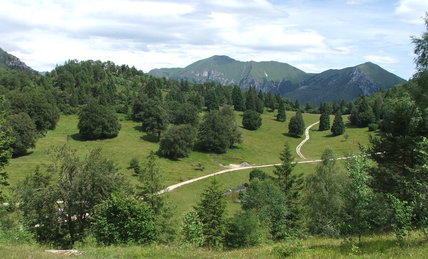
Trekking along the ridges above Pregasina with a view of Lakes Garda and Ledro.  

This is a beautiful, panoramic and sunny route that leads to the rewarding Cima Nara, a little-known peak in the Prealpi di Garda - Ledro chain. The first part follows the paths that connect the "Bocca di Larici" with the "Prati di Guil".

Further information and useful links

For more information on routes, services (guides, mountain huts, shops etc.) and hiking friendly accommodation: Garda Trentino - +39 0464 554444

details
  • Scenic
  • Geological highlights
  • Insider tip
  • Summit route
  • Round trip
  • Cultural/historical interest
  • Exposed sections
Route info
Intermediate
Route number
Distance
10,2 km
Duration
4 h 55 min
Altitude difference (+)
915 m
Altitude difference (-)
900 m
Physical effort
Scenary
Highest point
1.345 m
Lowest point
533 m
Suggestions

This route is suitable for spring and autumn because the days are not too hot; it is often practicable in winter (check for snow). 

You might be interested in
Discover related tours
Walking in the forest | © Fototeca Trentino Sviluppo foto di A. Russolo, Garda Trentino
Intermediate
Comano
From Cornelle through the surrounding woods
Distance 8,0 km
Duration 3 h 30 min
Altitude difference (+) 391 m
Altitude difference (-) 394 m
Status
open
Val Algone | © Archivio Garda Trentino (ph. Watchsome), Garda Trentino
Intermediate
Comano
Val Algone: discovery trail in Parco Naturale Adamello Brenta
Distance 7,2 km
Duration 3 h 30 min
Altitude difference (+) 367 m
Altitude difference (-) 338 m
Status
open
View over Lake Toblino and the Valle dei Laghi | © Archivio APT Garda Trentino (ph. R. Kiaulehn), North Lake Garda Trentino
Intermediate
Valle dei Laghi
Monte Gazza: view of the 4 lakes
Distance 13,0 km
Duration 7 h 00 min
Altitude difference (+) 900 m
Altitude difference (-) 900 m
Status
open
View from the top of Monte Misone | © Archivio Garda Trentino - Foto G.P. Calzà, Garda Trentino
Intermediate
Tenno
On the summit of Monte Misone
Distance 8,2 km
Duration 4 h 15 min
Altitude difference (+) 860 m
Altitude difference (-) 857 m
Status
open
View from the little church San Pietro | © APT Garda Trentino, Garda Trentino
Intermediate
Tenno
A hike around Monte Calino, the mountain of Tenno
Distance 11,1 km
Duration 4 h 52 min
Altitude difference (+) 715 m
Altitude difference (-) 715 m
Status
open
View from the Bastione: Riva del Garda | © Archivio APT Garda Trentino, North Lake Garda Trentino
Intermediate
Arco, Riva del Garda, Tenno
GardaTrek - Low Loop 1: from Riva del Garda to Arco
Distance 13,9 km
Duration 5 h 55 min
Altitude difference (+) 596 m
Altitude difference (-) 588 m
Status
open