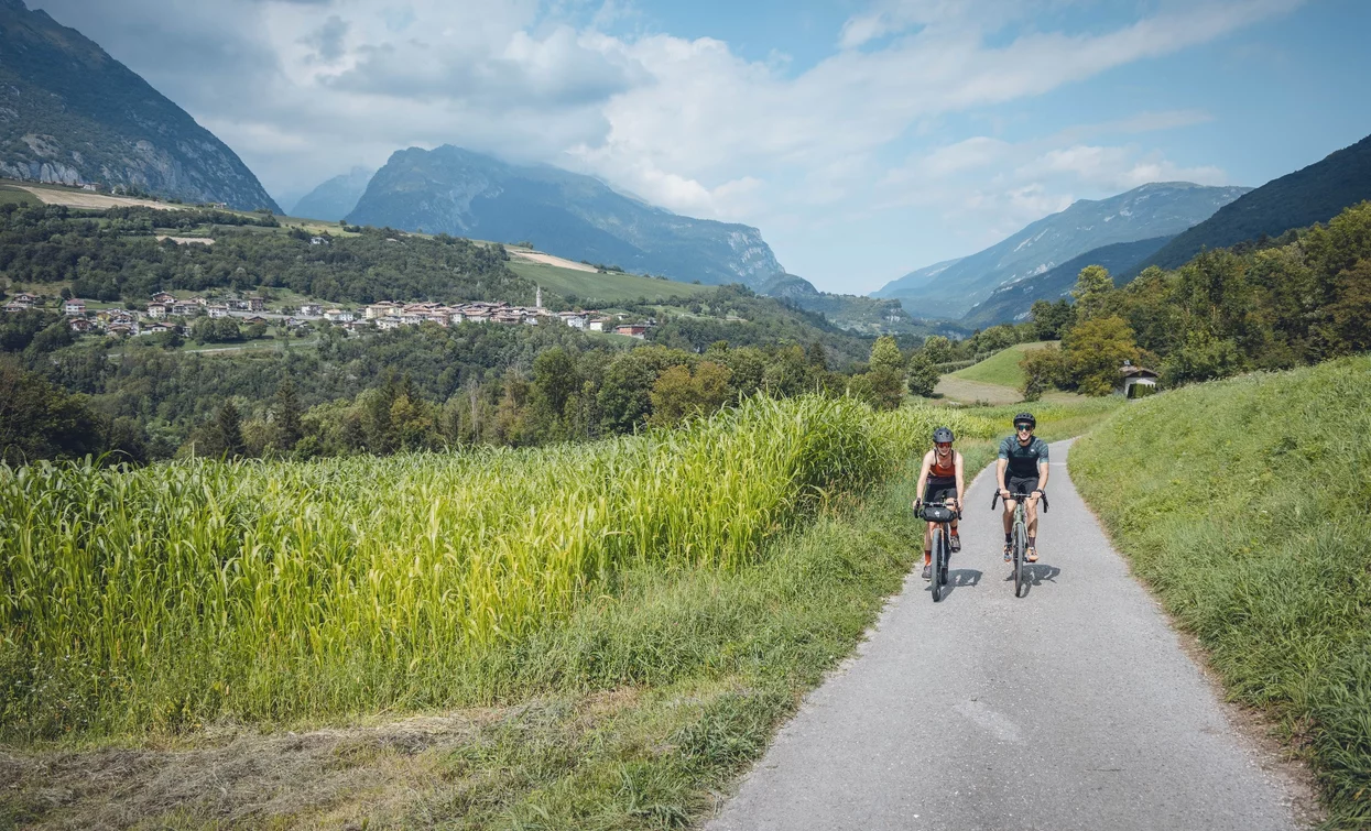
“Zero” describes both the kilometres travelled by the delightful products you'll get to sample and the balance between the calories expended and consumed at the conclusion of this tour. A cycling adventure tailored for enthusiasts of both two wheels and exceptional cuisine. It's designed for those who value sustainability, the authenticity of locally sourced products, and the short supply chain.
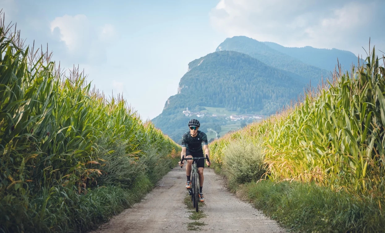
Take a leisurely pace and explore the flavours of the Terme di Comano valley on two wheels. The tour begins with an uphill ascent, allowing your legs to gain momentum. After soaking in the scenery of Stenico and its hamlets, descend through the Limarò gorge and traverse the streets nestled amid wheat fields, leading to the Lomaso region, known for its mountain potatoes. Pedal along the verdant Val Lomasona, passing through charming farming villages, some of Italy's most picturesque. You'll encounter yet another regional delicacy: Bleggio's walnut salami, a true gem and a Slow Food presidium! Subsequently, a long descent amid walnut trees and fields returns you to your starting point. KilometroZero: the very first tour with a calorie-neutral outcome. An immersive exploration of the valley's culinary traditions, one you can repeat without any guilt!


Upon arrival, you'll be treated to some delectable ice cream made from genuine organic milk!
This information is subject to inevitable variations, so none of these indications are absolute. It is not entirely possible to avoid giving inexact or imprecise information, given how quickly environmental and weather conditions can change. For this reason, we decline any responsibility for changes which the user may encounter. In any case, it is advisable to check environment and weather conditions before setting out.
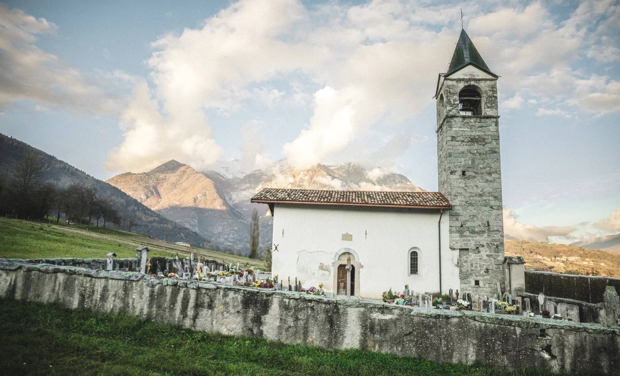
Starting from Ponte Arche, our journey begins by immediately crossing the Duino stream. At the roundabout, we turn right, passing over the Sarca River via the bridge and commencing our climb on the provincial road, passing Maso al Pont. After a short distance, we veer off from the traffic, opting for a small road on the left. However, we soon rejoin the provincial road, guiding us to Stenico. Navigating through the village, as the church comes into view, we turn onto Via San Giovanni Sicheri. We proceed straight uphill, disregarding various intersections, until we reach the hamlet of Sclemo. Shortly after the hamlet, we turn right to descend towards Premione. At the church, we take a left and reach Villa Banale. From there, we continue our descent along the main road, cross the Sarca River on the Ponte dei Servi bridge, and make a left at the roundabout. After a short distance, we find a secondary road on the right, guiding us to Poia. We traverse the village and follow the country roads of the Potato Trail until we reach the Church of San Lorenzo on the outskirts of Vigo Lomaso. Instead of descending into the village from the church, we continue on a level path toward Val Lomasona. After a couple of kilometres, we arrive at the wetland biotope and alter our course, cycling towards Dasindo. After the cemetery, just before entering the village, we turn left and climb towards Favrio, then continue on the main road towards Fiavé. We enter the village by crossing the main road, pass the church, and take the provincial road towards Bleggio. On asphalt, we pass through Cavrasto, Balbido, Rango, Cavaione, Larido, and Bivedo before finally reaching Santa Croce, where we take the road behind the church to descend towards the villages of Gallio, Bono, and Comighello. In Comighello, we rejoin the provincial road and descend towards Ponte Arche, our starting point.
The area around Comano is connected by the intercity bus lines 211 (Riva del Garda - Tenno - Fiavè - Ponte Arche) and 201 (Trento - Ponte Arche - Campiglio – Tione) to the other places in Garda Trentino.
Up-to-date information on timetables and routes.
Find out how to reach Garda Trentino.
Free parking space close to the starting point.
Remember to thoroughly evaluate the type of route you plan on doing, the locations you intend to cross and the current season. Has it been raining? Attention: The paths may be slippery and require more caution.
What do I need to bring on my bike tour?
It is always advised to let someone know where you plan to go and how long you expect to be.
Emergency telephone number 112.

