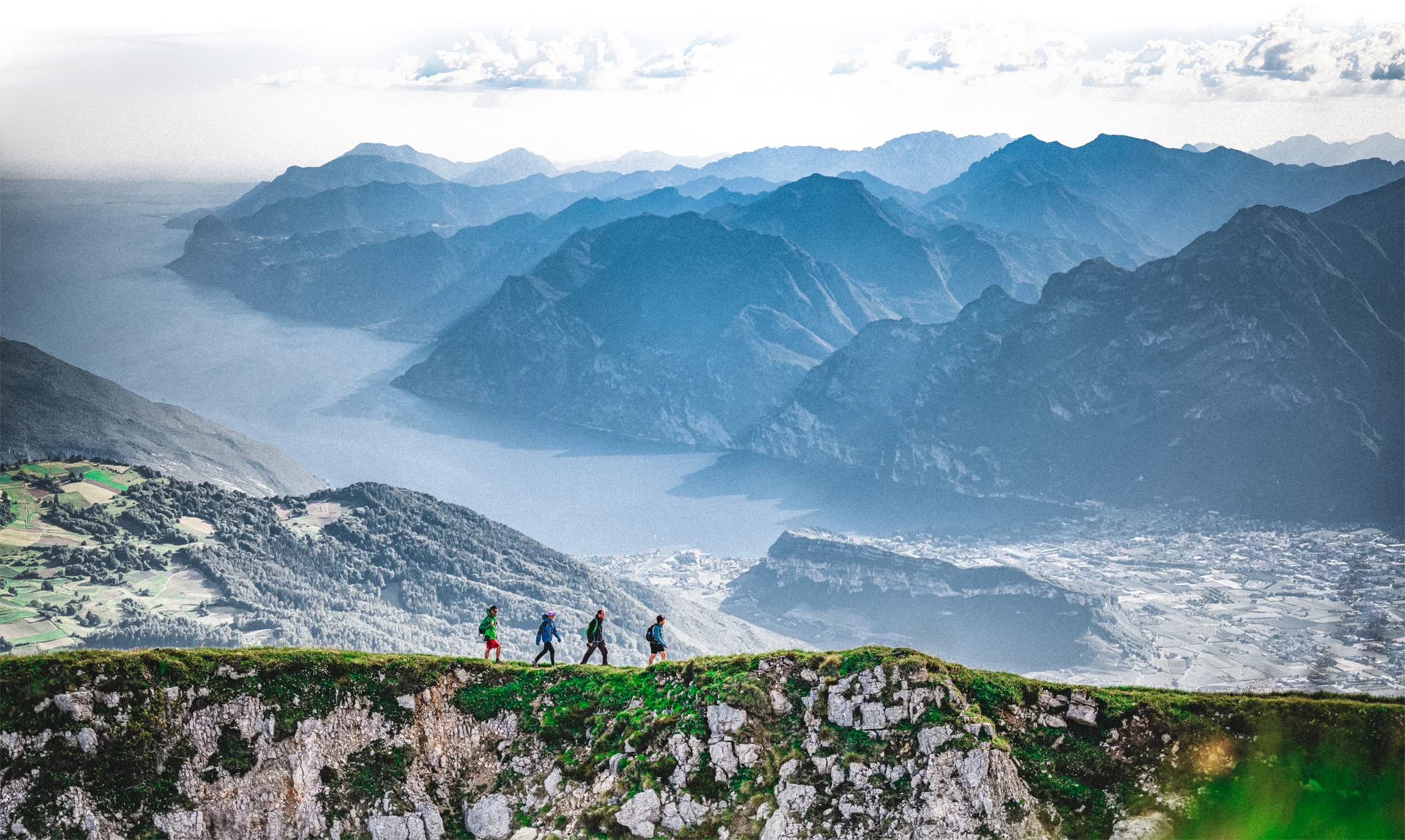
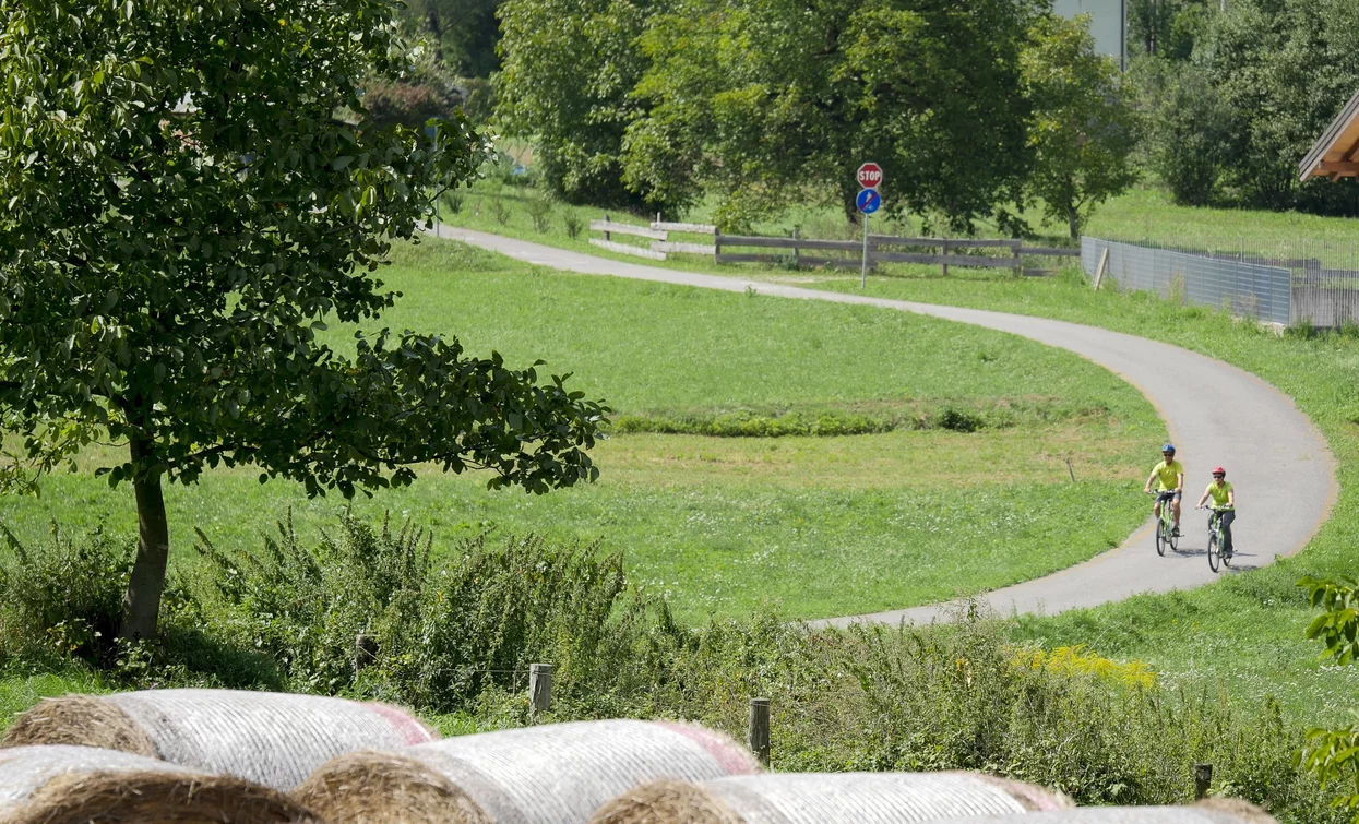
The Ciclabile della Valle di Ledro cycling path unfolds on the valley floor between Lake Ledro and Lake Ampola. It’s ideal for kids and families.
The cycling path runs parallel to the main road through Valle di Ledro. The villages along the way are Pieve, Bezzecca, Tiarno di Sotto and Tiarno di Sopra. Lake Ledro is perfect for swimming or taking up water sports, whereas Lake Ampola is among the few lakes which have been preserved in their natural state to this day. The lake changes with the seasons: in Summer, when the waterlilies are in bloom, it turns yellow.
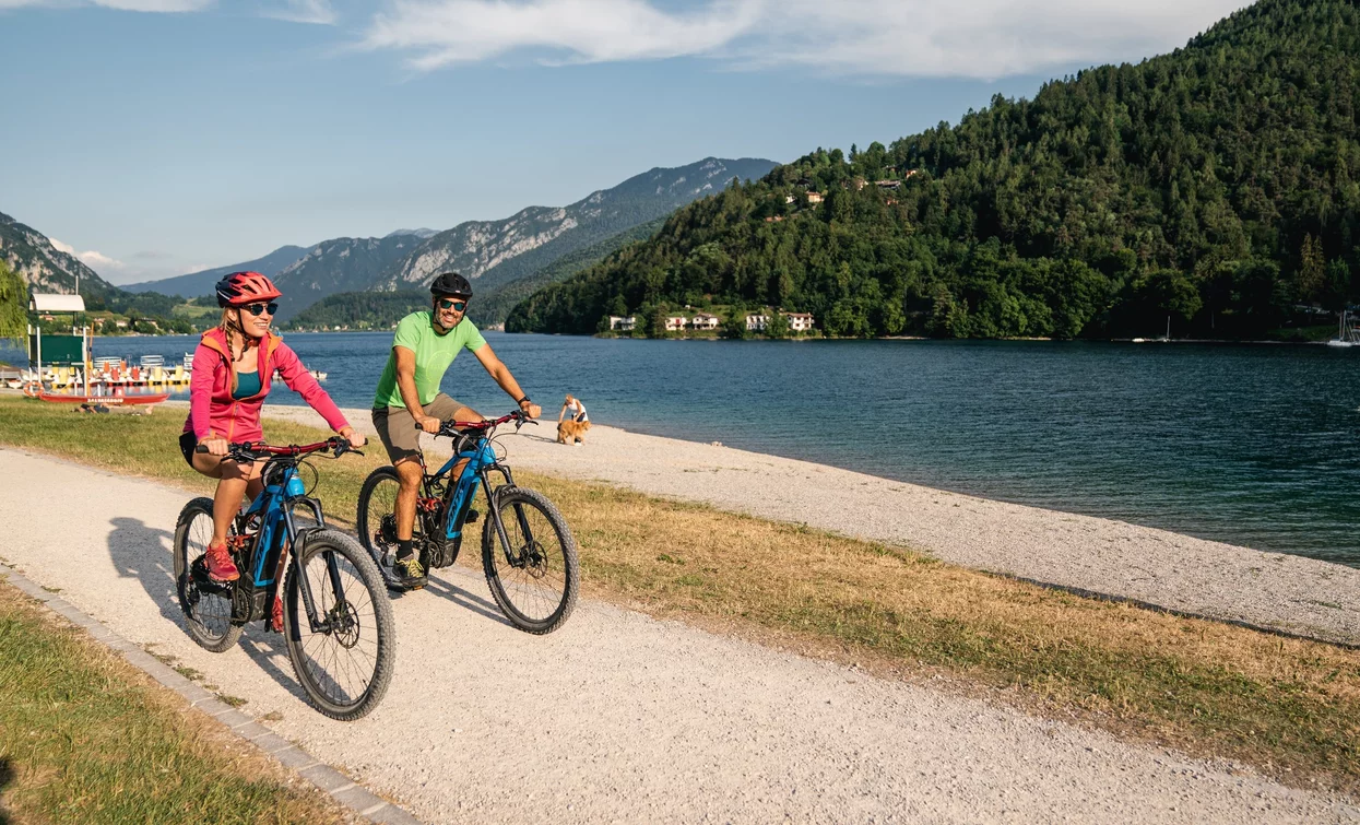
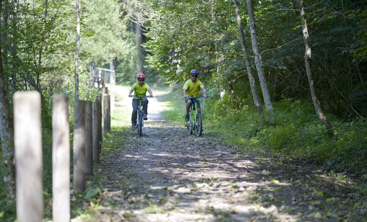
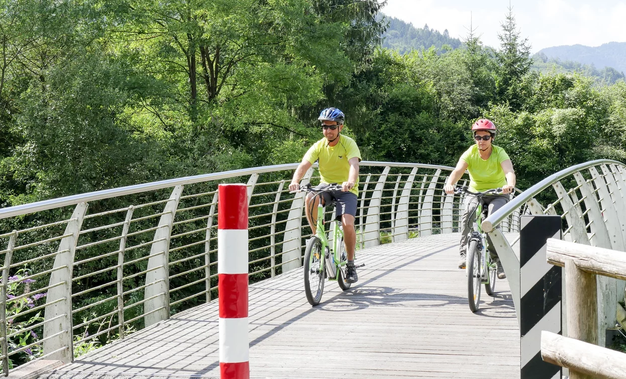
You’ve already picked your cycling route—now all you need is the right support. Discover all the Bike Specialists in Garda Trentino: rentals, repair shops, and dedicated bike stores are ready to welcome you right here.
There are several picnic areas along the way, notably in Pieve, Bezzecca, in the locality of Santa Lucia and near Lake Ampola.
Safety Tips
This information is subject to inevitable variations, so none of these indications are absolute. It is not entirely possible to avoid giving inexact or imprecise information, given how quickly environmental and weather conditions can change. For this reason, we decline any responsibility for changes which the user may encounter. In any case, it is advisable to check environment and weather conditions before setting out.
The cycling path starts in Pieve, near Lake Ledro, and it follows the Massangla torrent until Tiarno di Sotto. From there it runs along the main road to Lake Ampola. The cycle path is well signposted.
The main towns in Garda Trentino - Riva del Garda, Arco, Torbole sul Garda, Nago, Ledro and Comano – are connected by several urban and intercity bus lines which will take you to the starting point of tours or in the immediate surroundings.
You can also get to Riva del Garda and Torbole sul Garda by the public ferry service.
Parking between Via Imperiale and Via Nuova, near the info point.
Riding your bike requires specific clothing and equipment, even for relatively short and easy trips. It is always better to be prepared… e.g. for bad weather or a sudden drop in your energy levels. The unexpected things are part of the fun!
Remember to thoroughly evaluate the type of route you plan on doing, the locations you intend to cross and the current season. Has it been raining? Attention: The paths may be slippery and require more caution.
What do I need to bring on my bike tour?
It is always advised to let someone know where you plan to go and how long you expect to be.
Emergency telephone number 112.

