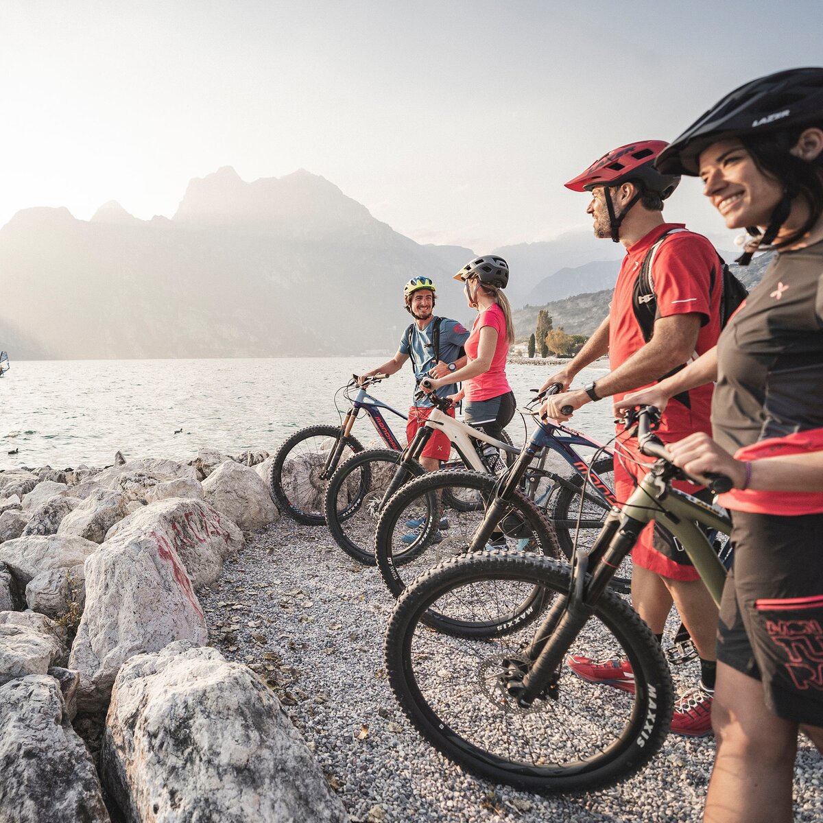
Bike lovers who visit Valle di Ledro cannot miss a ride to the legendary Passo Tremalzo, a cult destination for bikers!
Signage: 779. Tremalzo Big Tour
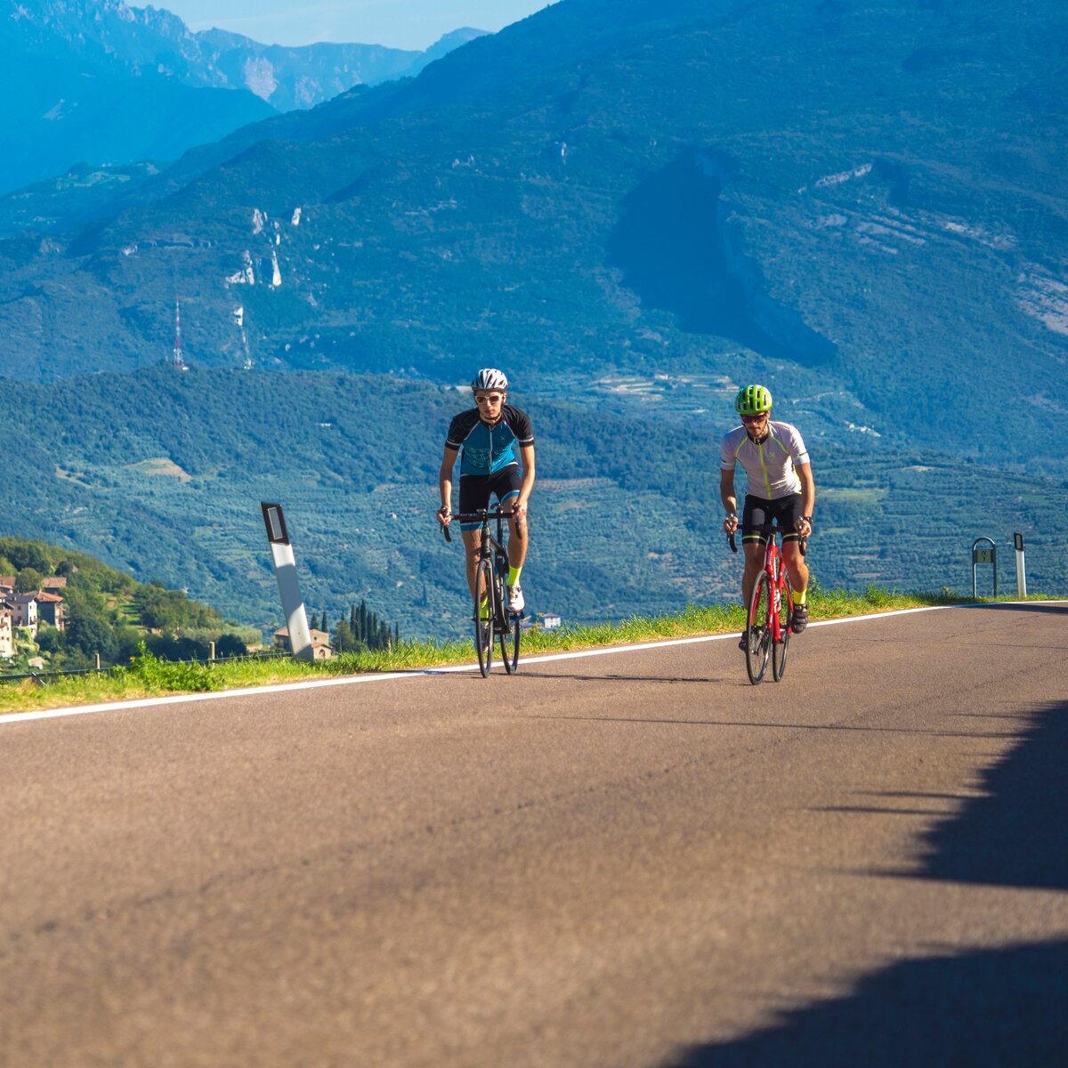
This route has two souls. The ascent to Tremalzo, a real climb on an asphalt road with an average gradient of 7%, and the descent, a route full of excitement along old military roads with breath-taking curves and spectacular views of Lake Garda. To complete the tour there’s nothing better than a swim in Lake Ledro.
Variants: 779a. Variante Caset Rinalt - Trail - 779b. Variante Caset Pubregn - Trail
, Garda Trentino")
, Garda Trentino")
, North Lake Garda Trentino")
, Garda Trentino")
, Garda Trentino")
, Garda Trentino")
, Garda Trentino")
, Garda Trentino")


, Garda Trentino")
, Garda Trentino")
, Garda Trentino")
, Garda Trentino")
, Garda Trentino")
, Garda Trentino")
, North Lake Garda Trentino")
ITRS - International Trail Rating System
The ITRS is an objective way to assess trails and routes from a biker’s perspective, evaluating four aspects:
Discover more about the ITRS system and check the classification of this tour in the photo gallery.
Safety Tips
This information is subject to inevitable variations, so none of these indications are absolute. It is not entirely possible to avoid giving inexact or imprecise information, given how quickly environmental and weather conditions can change. For this reason, we decline any responsibility for changes which the user may encounter. In any case, it is advisable to check environment and weather conditions before setting out.
From the car park near the tourist office in Pieve di Ledro we take Via Imperiale and embark on the Valle di Ledro cycle path, which winds its way through fields and residential areas, alternating between sections closed to traffic and mixed stretches for about 7 km. Just before reaching the Lago d'Ampola nature reserve, almost at the end of the cycle path, we take the dirt road on the left, a rather steep shortcut to the provincial road to Tremalzo. From here the route to Passo Tremalzo is clearly defined and runs entirely on a tarmac road for about 15 km.
Those who wish to shorten the route can take the variants 779a. and 779b. at Rifugio Garibaldi and descend down the valley towards Tiarno di Sopra or towards Pieve via Bocca Caset. Both variants present more challenging technical characteristics than the descent from Bocca Fortini.
From the pass we continue along the old First World War military road towards Bocca di Val Marza, pass the tunnel and begin the descent towards Passo dei Gatùm, Passo Prà della Rosa and Passo Nota, characterised by the breathtaking curves that are among the highlights of this route. From Passo Nota the route becomes less steep and has a slight up and downhill stretch to Bocca Fortini. From Bocca Fortini we take the forest road to the left and begin the descent into the forest, which is quite steep in places. Ignoring the numerous forks along the way, we continue the descent for about 5 km, after which the dirt road gives way to a tarmac surface for the last stretch to Lake Ledro.
When we reach the lake, we turn left and continue alongside it, first on Via al Lago and then on Via Val Maria, until we reach Pur. At the crossroads we keep to the right, pass the beach and continue along Via Mal Maria. After about 1 km, at a hairpin bend, we take the cycle path on the right, which leads to the Pieve sailing club. From here we continue along Via Alzer and turn left at the first opportunity to rejoin the cycle path. This briefly rejoins Via Alzer and then turns left and runs alongside the stream for 1 km, after which it rejoins Via Imperiale. We turn right to return to our starting point.
Valle di Ledro is connected to Riva del Garda by the intercity bus line 214 (Riva-Valle di Ledro-Storo).
Parking between Via Imperiale and Via Nuova, near the info point.
Riding your bike requires specific clothing and equipment, even for relatively short and easy trips. It is always better to be prepared… e.g. for bad weather or a sudden drop in your energy levels. The unexpected things are part of the fun!
Remember to thoroughly evaluate the type of route you plan on doing, the locations you intend to cross and the current season. Has it been raining? Attention: The paths may be slippery and require more caution.
What do I need to bring on my bike tour?
It is always advised to let someone know where you plan to go and how long you expect to be.
Emergency telephone number 112.
, Garda Trentino")
, Garda Trentino")

, Garda Trentino")

, Garda Trentino")