Directions
The starting point of the tour is in Arco, along the cycling path next to the Caneve car park. Following the cycle path towards the town centre of Arco, we cross the river Sarca and ride northwards along it. We pass by the climbing stadium and cross the river once again. At the roundabout we cross the main road and reach the treelined street on the other side, which leads to the Convent of San Francesco.
Instead of going all the way to the convent, we turn left in Via di Sai and then right into Via Angelo Maino. At the crossroads near the car park we turn left and ride through the hamlet of San Martino passing by the church located on a high spot. Then we keep right and start our ascent on a rather narrow asphalt road in the direction of the Policromuro crag and the Bosco Caproni.
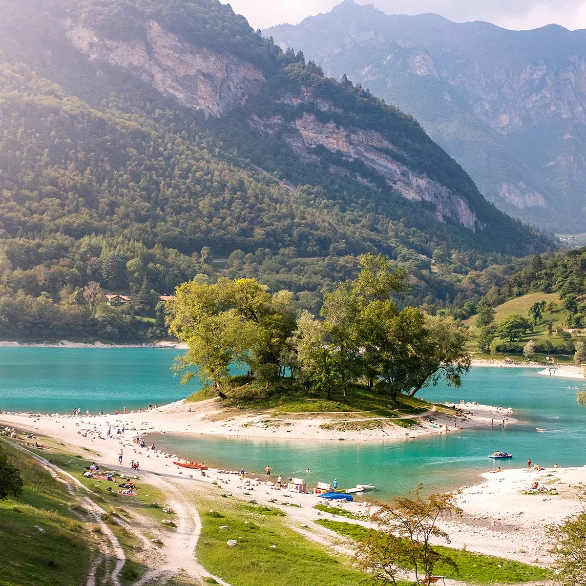
Once we reach Pianaura, we reach a fork and turn right to continue the climb towards Troiana, where the asphalt gives way to a dirt road, and Carobbi, a nice spot surrounded by beautiful chestnut groves. From Carobbi the forest road continues uphill in the direction of the Passo Due Sassi. Here it's definitely worth making a stop to admire the view over Lake Garda from one of two large rocks.
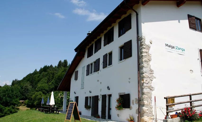
From the pass, the forest road starts to descend with low gradients. We ride past the turning point to Malga Zanga and turn into an asphalt road passing by Agriturismo Torboli to join the main road which links Arco to Passo Santa Barbara. We follow it for about 800 m and at the hairpin bend we take the dirt road leading to the church of San Francesco. We keep downhill, now on markedly steeper terrain, along the Monte Corno forest road and reach Malga Fiavei, a visibly abandoned building.
After 3 km we rejoin the asphalt road just outside the village of Bolognano, which we enter via Via Cacciatore. We ride through the village and past the church, then turn into Via Rovereto. We continue for about 200 m and turn tight to take Via del Rì, which we follow to the village of Caneve, at one point via a flyover. From the village square we turn left and reach a roundabout, where we take Via Paolo Leonardi to return to the starting point.

, North Lake Garda Trentino")
, North Lake Garda Trentino")

, Garda Trentino")
, Garda Trentino")
, North Lake Garda Trentino")
, North Lake Garda Trentino")
, North Lake Garda Trentino")
, Garda Trentino")
, Garda Trentino")
, North Lake Garda Trentino")
, North Lake Garda Trentino")


, North Lake Garda Trentino")
, Garda Trentino")
, North Lake Garda Trentino")

, Garda Trentino")