aria.quick_link.navi aria.quick_link.skiptomaincontent aria.quick_link.footer
Garda Trentino Logo
Top

Around Monte Brione

Torbole sul Garda - Nago, Arco, Riva del Garda

Category
Difficulty
Easy
Duration
0:55
Duration in hours
Distance
12.9
Distance in km
Status
open
Suggested period
Jan
Feb
Mar
Apr
May
Jun
Jul
Aug
Sep
Oct
Nov
Dec
This itinerary is perfect for a relaxing ride in a flat area near to the main towns. This makes it ideal for anyone who wants to take small children on their first bicycle trip.

This itinerary is a loop around Monte Brione, the spur of rock which separates Riva del Garda from Torbole and is the unmistakeable profile of Garda Trentino. It is mainly a ride through built up areas, running along cycle paths and back roads which cut across the countryside at the foot of the mountain.
Since the entire route is on the flat, this tour presents no difficulties of any kind and is even suitable for small children as long as you watch out when crossing the roads.

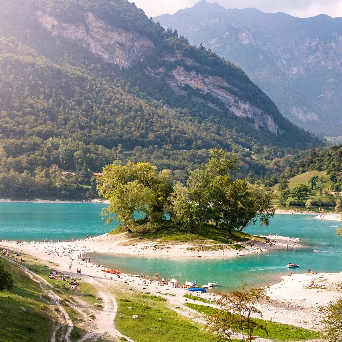
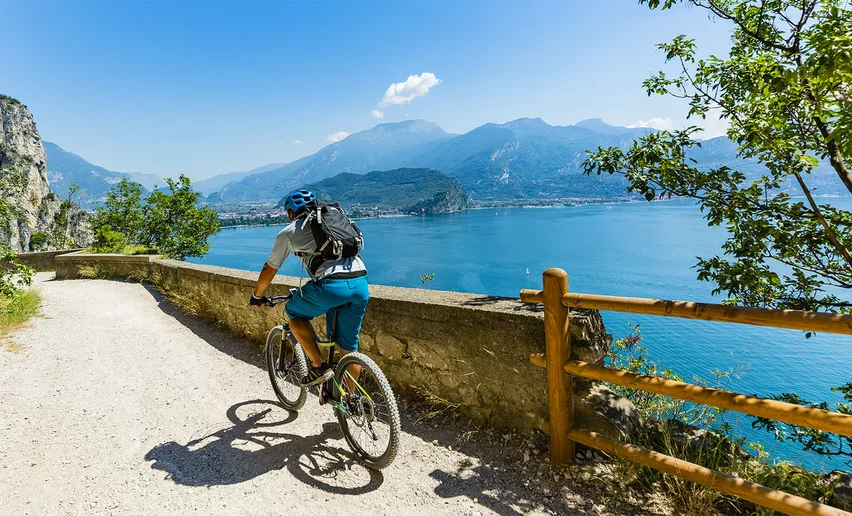
The stretch of the cycle path which links Torbole and Riva del Garda is without doubt one of the most popular with visitors and residents for the marvellous views it affords over Lake Garda. It is particularly busy in the summer season so watch out for the people walking along the cycle path or crossing it to get to the beach.

Further information and useful links

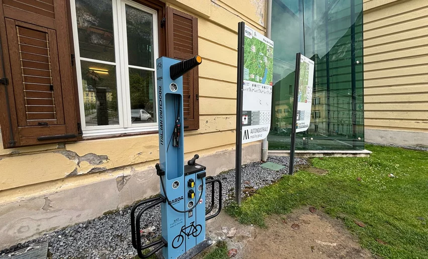
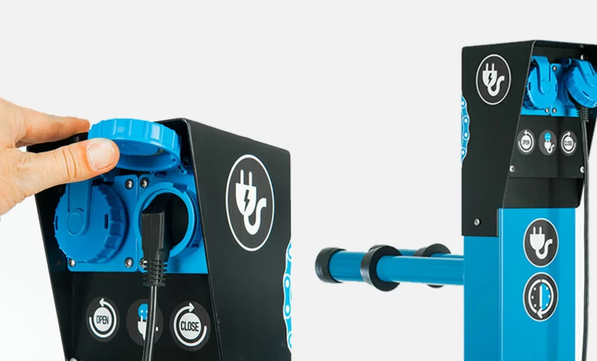
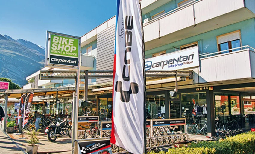
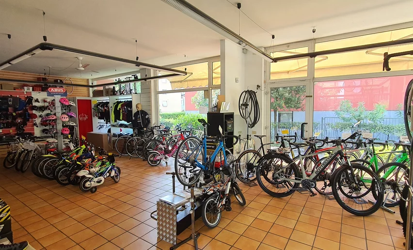
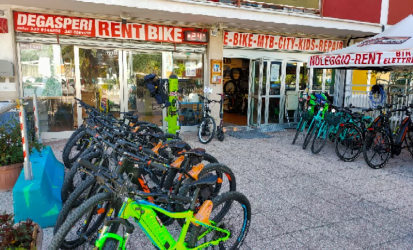
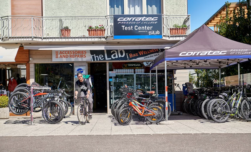
You’ve already picked your cycling route—now all you need is the right support. Discover all the Bike Specialists in Garda Trentino: rentals, repair shops, and dedicated bike stores are ready to welcome you right here.

Route info
Easy
Route number
Distance
12,9 km
Duration
55 min
Altitude difference (+)
23 m
Altitude difference (-)
25 m
Technical skills
Physical effort
Scenary
Highest point
81 m
Lowest point
65 m
Suggestions
Stop off in one of the bars along the beach for an aperitivo or delicious ice cream with a lake view. What better way to wind up your bike ride?
You might be interested in
Discover related tours
The cycle path near Passo San Giovanni | © Foto archivio Provincia Autonoma di Trento di Nicola Angeli fotografo, North Lake Garda Trentino
Easy
Torbole sul Garda - Nago, Surroundings, Riva del Garda, Arco
Adige Garda Cycle Path
Distance 19,9 km
Duration 1 h 35 min
Altitude difference (+) 171 m
Altitude difference (-) 213 m
Status
open
The cycle path in the Sarca Valley | © R. Vuillemier, Garda Trentino
Easy
Arco, Dro & Drena
Along the Sarca cycle path: from Arco to Fies
Distance 19,4 km
Duration 1 h 30 min
Altitude difference (+) 98 m
Altitude difference (-) 98 m
Status
open
The Marocche area (on the right, in the background, lake Cavedine) | © Archivio APT Garda Trentino (ph. R. Vuilleumier), Garda Trentino
Easy
Valle dei Laghi, Arco, Dro & Drena
4.The Sarca Valley and Lake Cavedine: from Arco to Sarche
Distance 36,7 km
Duration 2 h 50 min
Altitude difference (+) 254 m
Altitude difference (-) 263 m
Status
open
Limarò cycle path | © Archivio Garda Trentino (ph. Uli Stanciu), North Lake Garda Trentino
Easy
Valle dei Laghi, Comano
Limarò Cycle Path
Distance 6,0 km
Duration 1 h 00 min
Altitude difference (+) 97 m
Altitude difference (-) 31 m
Status
open
© Ecomuseo Valle dei Laghi, Garda Trentino
Intermediate
Valle dei Laghi
Lakes Cycle Path: Padergnone – Terlago
Distance 9,7 km
Duration 1 h 00 min
Altitude difference (+) 212 m
Altitude difference (-) 76 m
Status
open
View over Pranzo | © Archivio Trentino Marketing (ph. D. Lira) , North Lake Garda Trentino
Intermediate
Riva del Garda, Tenno
From Lake Tenno to San Martino archeological site in Campi
Distance 6,0 km
Duration 1 h 00 min
Altitude difference (+) 310 m
Altitude difference (-) 55 m
Status
open