
Sleeping in a mountain hut is always a thrill. This excursion has an overnight stay in the mountains followed by a super panoramic hike back down to Riva del Garda
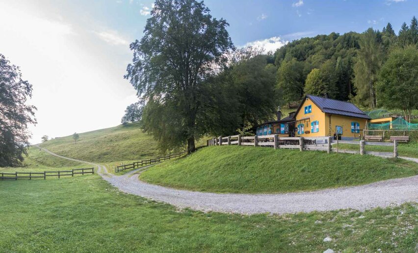
Hike though the woods of holm oak first and then of beeches and spruces to the mountain hut Rifugio Pernici, renowned for its home-made local specialities. Sleep at the Rifugio after a tasty dinner. Watch the dawn steal across the sky outlining the peaks one by one.
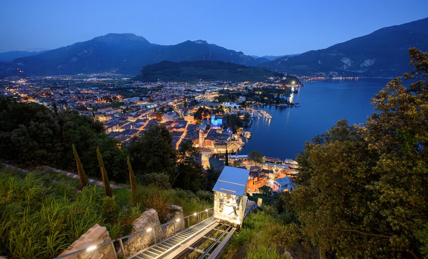
Then head back down to the lake along the ridge which divides Garda Trentino from Valle di Ledro enjoying a series of breathtaking views from the Brenta Dolomites to Lakes Garda and Ledro, as you make your way down the sheer rock which towers above Riva del Garda.
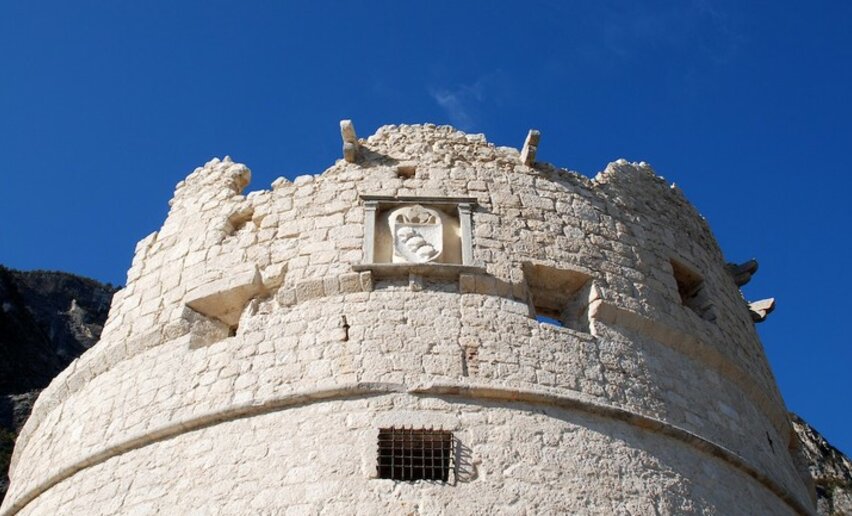
On the second day, the trek follows the Sentiero della Pace or Peace Trail, a long distance trail along the most important sites of the Front during the Great War. Around Rifugio Pernici, which was originally built as the officers' canteen, and as far as Bocca Saval there are numerous remains of trenches and barricade dating back to the war. This was in fact the Austro-Hungarian line of defence.

 | © Archivio APT Garda Trentino, Garda Trentino")


 | © Archivio APT Garda Trentino, Garda Trentino")


 | © Archivio Garda Trentino, Garda Trentino")

To stay at Rifugio Pernici, please check availability by contacting +39 3292599365.
For more information on routes, services (guides, mountain huts, shops etc.) and hiking friendly accommodation: Garda Trentino - +39 0464 554444
Safety Tips
This information is subject to inevitable variations, so none of these indications are absolute. It is not entirely possible to avoid giving inexact or imprecise information, given how quickly environmental and weather conditions can change. For this reason, we decline any responsibility for changes which the user may encounter. In any case, it is advisable to check environment and weather conditions before setting out.
Caution! There is a short stretch of via ferrata along this trail: you must come equipped with ferrata kit, helmet, and harness. There are also some particularly exposed stretches along SAT 413 which must be approached keeping a safe pace. The length of the trail and the difficulties mentioned above mean it is only suitable for experienced hikers with adequate fitness levels.
From Riva’s city centre, take the path leading to the Bastione and afterwards follow the directions for trail SAT 402 which leads to the village of Campi, proceeds until alpine hut Grassi and finally ascends until Refuge Nino Pernici. Here you should foresee the overnight.
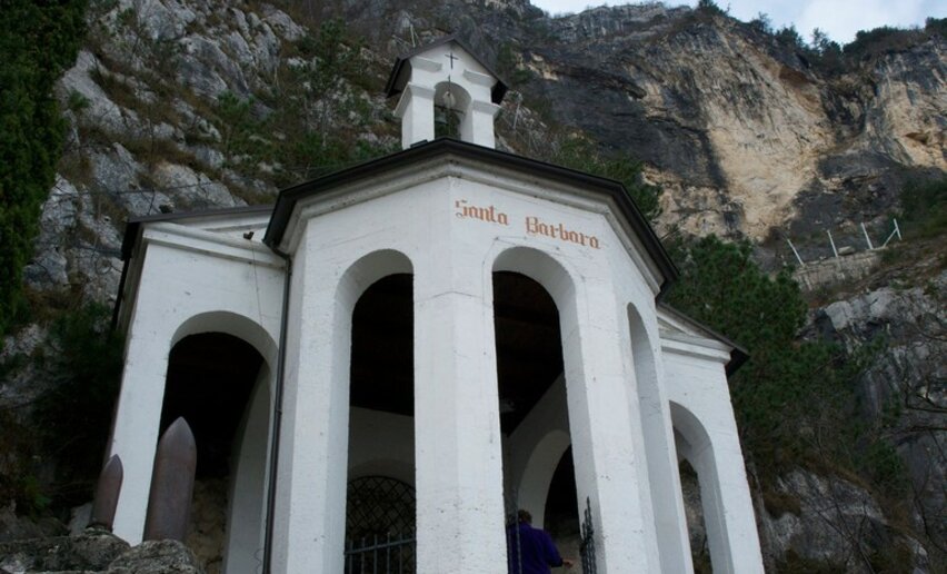
For the downhill, take panoramic trail SAT 413 that leads to Bocca Giumella, passing along Bocca Saval and Campigolo. Gone beyond the pass, take trail SAT 417, that goes to the top of Cima Valdes and then rejoin SAT 413 until Bochet dei Concoli. Afterwards descend the steep trail SAT 404 in direction of Santa Barbara: almost by the church youfind a vertical stairway which has to be climbed down only safely hooked up. From here you continue until the little church and proceed until Riva del Garda.
The main towns in Garda Trentino - Riva del Garda, Arco, Torbole sul Garda, Nago – are connected by several urban and intercity bus lines which will take you to the starting point of tours or in the immediate surroundings.
You can also get to Riva del Garda and Torbole sul Garda by the public ferry service.
Parking near the former hospital (Via Rosmini) or the former cemetery (Viale Damiano Chiesa).
Paid parking: Terme Romane (Viale Roma), Vecchia stazione (Largo Medaglie d’Oro), Ex-agraria (Via Lutti), Area ex-Cattoi (Viale Rovereto).
You need to wear the right clothing and take the proper gear when you go hiking in the mountains. Even on relatively short easy outings make sure to take all you need so you don't run into trouble if things take an unexpected turn, for example a storm blows up or you have a sudden drop in energy levels.
What should you take when you go on a hike?
Your rucksack (for a day trip a 25/30L capacity should do) should contain:
Make sure you're wearing the right footwear for the trail and season. The going can get rough and rocky underfoot and a pair of hiking boots will protect you from sprains. When wet, a grassy slope, rocky slab or steep trail can be dangerous unless you are wearing the proper footwear.
And finally... don't forget to bring your camera! You'll need it to capture the stunning views you come across all over Garda Trentino. And if you like, you can share your memories with us at #GardaTrentino.
Emergency telephone number 112.

, Garda Trentino")
, Garda Trentino")


, North Lake Garda Trentino")


