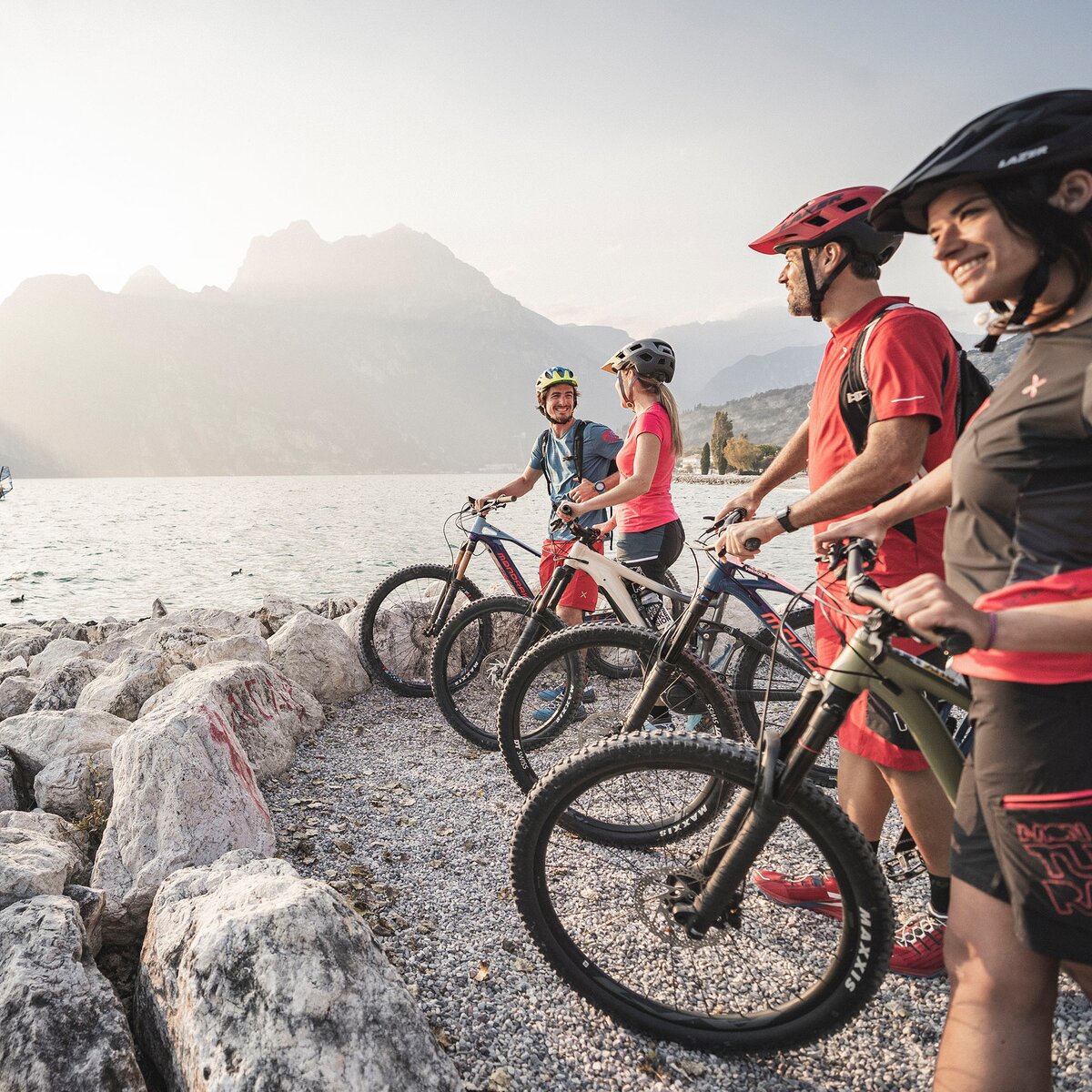
Pedalling through Valle di Ledro!
Easy and undemanding route which climbs up to the woods of Concei, leads back down to Lake Ampola along the cycling path and runs all around Lake Ledro.


, North Lake Garda Trentino")

Further information on www.vallediledro.com
Please note that the practicability of the itineraries in a mountain environment is strictly linked to the contingent conditions and is therefore influenced by natural phenomena, environmental changes and weather conditions. For this reason, the information contained in this page may have changed. Before leaving for a tour, make sure the path you will approach is still accessible by contacting the owner of the mountain hut, the alpine guides or the visitor centres of the nature parks, the info offices of the local tourist board.
In Pieve turn into Via Rabaglia and turn left onto an asphalt road closed to traffic, pedal through the village of Locca and turn into Via Doghen. Proceed along country lanes towards Lenzumo, pedal through the village and turn into Via Bianchi. Proceed along the main road to Rifugio Al Faggio. Get back to Lenzumo along the same way and follow the main road back to Locca. Pedal down to Bezzecca and enter the village. Turn into Via Tovi towards Val dei Molini, cross the first bridge to the left and pedal towards the main road which must be crossed in order to reach the cycling path. Pedal along the cycling path until it joins with the main road where the asphalt ends. Turn into the main road and reach Lake Ampola. Turn back and follow the main road into Tiarno di Sopra, pedal through the village along Via Guglielmo Marconi, turn into Via Belissi, cross the village of Tiarno di Sotto and get back to the main road. Once in Bezzecca turn into the cycling path and pedal on to Pieve, turn left into Via Alzer and back to the main road. Pedal to Mezzolago, enter the village and get back to the main road. At the Pile-Dwelling Museum in Molina turn right towards Pur onto an asphalt road. Near the beach turn into Via Europa which after some kilometres joins the cycling path leading back to Pieve.
Trentino Trasporti
There: 214 bus Riva del Garda - Pieve di Ledro
And back: 214 bus Pieve di Ledro - Riva del Garda
Exit the A22 motorway at Rovereto Sud – Lago di Garda. Follow the SS240 della Val di Ledro to Pieve di Ledro. Further options


 , Garda Trentino")