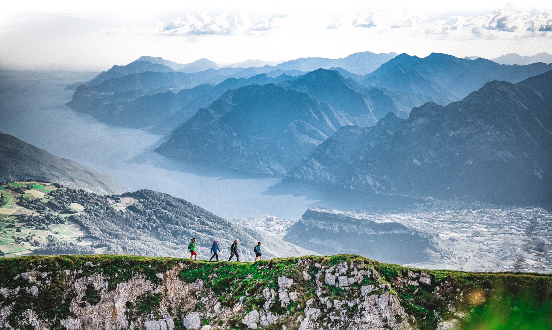
Another uphill stage! From the bottom of the valley there are almost 2000 meters of elevation gain to reach one of the most spectacular panoramic viewpoints of Garda Trentino.
This stage climbs the steep limestone cliffs rising above the vineyards in the Sarca Valley. First, you reach the ancient chestnut groves between Braila and Carobbi, continue up to the pastures of Malga Vallestrè, and then again along the ridge covered with dwarf pine to Monte Stivo at 2058 m above sea level where you enjoy a 360° panorama of the Dolomites, the Adamello-Presanella group and Lake Garda up to the Po Valley.
The path leading to the Braila hamlet is known as the "sentiero della maestra" (SAT 667). The name refers to a curious local event whose protagonist was a teacher who lived in the village. The trail has an EE difficulty rating, meaning it is recommended for experienced hikers, as a steel cable assists hikers in the most exposed section.
This stage is quite long and challenging, without refreshment points. Therefore, make sure to bring enough water and snacks with you.
From the "sentiero della maestra" you can enjoy a wonderful view of the Sarca Valley: make sure to have your camera handy!
On Monte Stivo, near the summit and the refuge, you can see the Great War relics, traces of the military trail towards Altissimo and Lake Garda. Being on the second line, Stivo did not see direct actions but was targeted by artillery positioned on Monte Altissimo.
Attention: short section of the Sentiero della Maestra (SAT 667) where some rock outcrops are equipped with via ferrata-style cables for greater safety.
Safety advice
This information is subject to inevitable changes, so none of these directions is absolute. It is not entirely possible to avoid inaccurate or incorrect information, as environmental and weather conditions can change quickly. For this reason, we disclaim any liability for changes the user may encounter. In any case, it is advisable to check environmental and weather conditions before departure.
Pass through Ceniga and continue until you reach the "coste di Varino" slopes where you turn onto trail SAT 667. Continue on a dirt road until you reach an asphalt road where you turn right. Follow the road according to the signs until Braila where you take the forest road towards Carobbi. Along the way, you will find SAT 668 which leads you to the Malga Vallestrè pasture. Here follow SAT 666 until you reach Marchetti refuge where you can enjoy spectacular views of Garda Trentino.
Ceniga is connected by interurban bus lines 205 (Riva del Garda – Sarche - Trento) and 204 (Riva del Garda– Cavedine - Trento) to other places in Garda Trentino.
Ceniga is located in the Sarca Valley, about 5 km from Arco (SS45bis).
Free parking on the right side of Via Arco in Ceniga.
You must wear the right clothing and bring the proper equipment when hiking in the mountains. Even on relatively short and easy outings, make sure to bring everything necessary so you have no problems if things take an unexpected turn, for example if a storm breaks out or if you suddenly lose energy.
What should you bring when you go hiking?
Your backpack (for a day hike a capacity of 25/30L should be enough) should contain:
Make sure you wear the right footwear for the trail and the season. The terrain can become challenging and rocky, and a pair of trekking boots will protect you from sprains. When wet, a grassy slope, a rock slab, or a steep trail can be dangerous if you do not wear appropriate footwear.
And finally... don’t forget the camera! You will need it to capture the breathtaking views you will encounter throughout Garda Trentino. And if you want, you can share your memories with us using #GardaTrentino.
Emergency phone number 112.

