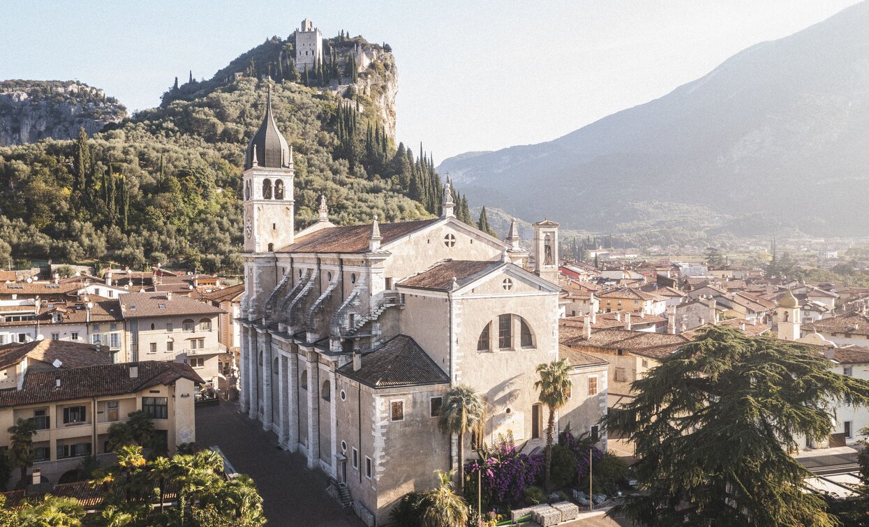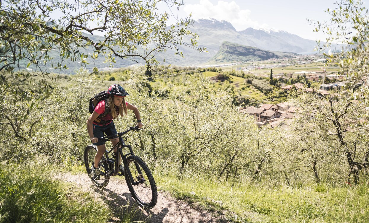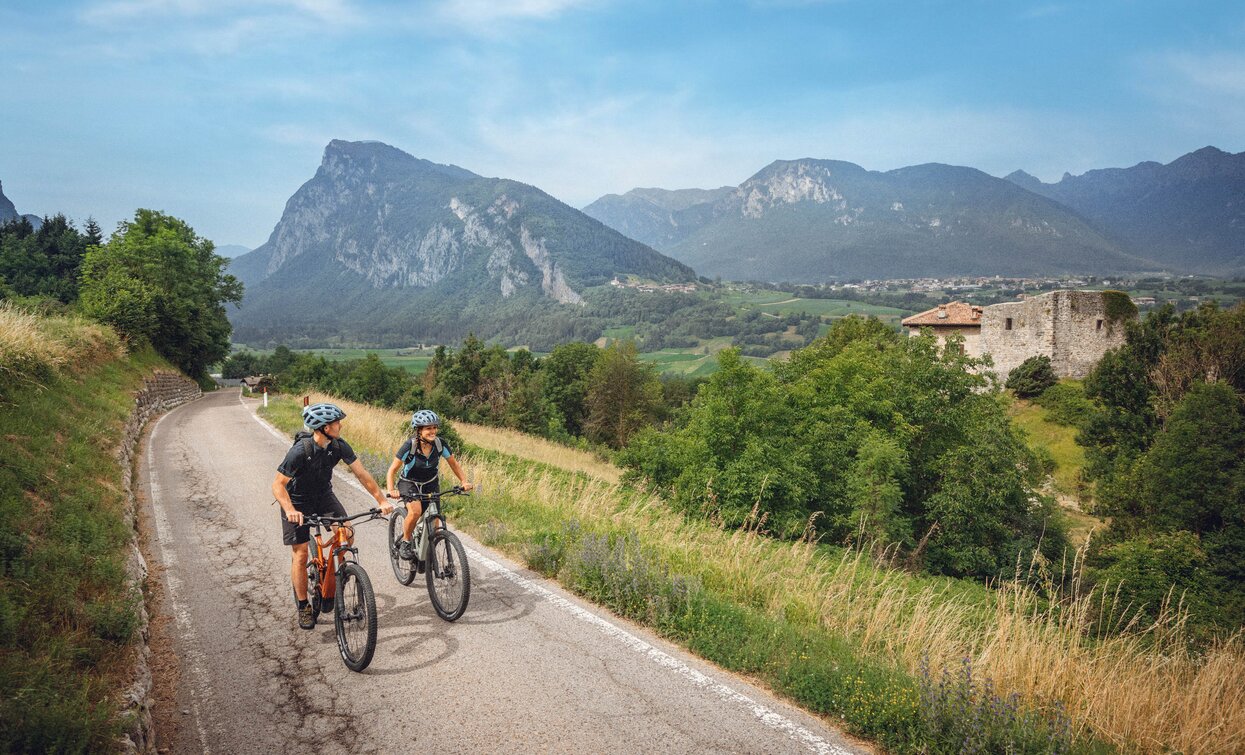
Long and beautiful exploratory tour from Arco.
Signage: 747. Lomaso Explorer - Tour
From Arco, pass the village of Padaro and take the winding, scenic road up to San Giovanni al Monte, the pass over into neighbouring Val Lomasona. After the long ascent, you will have earned a rest at the local mountain hut or at least some refreshment at the fountain, as well as a tremendous view. You then descend rapidly on forest tracks through shady woods down to Vigo Lomaso. Another short climb leads to the beautifully situated village of Comano and on to the cycle path, which leads through extraordinary scenery high above the Forra dei Limarò gorge towards Sarche. Once at the bottom of the valley, you stay on the western side of the valley, sometimes cycling right along the Sarca river, sometimes through the adjacent woods and olive groves out to the starting point in Arco.


For more information on routes, bike services (rentals, workshops, shops) and cycling friendly accommodation: Garda Trentino - +39 0464 554444
Malga San Giovanni, with its typical Trento cuisine, is a stop-off point no biker can afford to miss.
ITRS - International Trail Rating System
The ITRS is an objective way to assess trails and routes from a biker’s perspective, evaluating four aspects:
Discover more about the ITRS system and check the classification of this tour in the photo gallery.
Safety Tips
This information is subject to inevitable variations, so none of these indications are absolute. It is not entirely possible to avoid giving inexact or imprecise information, given how quickly environmental and weather conditions can change. For this reason, we decline any responsibility for changes which the user may encounter. In any case, it is advisable to check environment and weather conditions before setting out.
The route starts in Arco, or more precisely at the cycle path near the Caneve car park. Following the initial directions, head toward the town centre, where it is fairly easy to find the public gardens in the town centre. At the far left of the park, take Viale delle Magnolie and then turn right into Via Porta Scaria, which runs uphill skirting the historic centre and the arboretum. At the town gate in Stranfora, turn left and at the following fork keep left.
At the junction you will find signposting for our trail marked 747, leading across the olive groves surrounding Arco. In some stretches here the gradient is really demanding. When you come to the paved road, keep to the right and follow directions for Padaro, about a kilometre away. When you come to the town, where you can find a fresh water fountain, the gradient levels off but it still generally remains around 10%.
Keep on straight, following the main road and pass Mandrea and Doss del Cléf. Once you come to San Giovanni al Monte, you can always stop off for lunch on the mountain side. It is a classic destination for cyclists in the area, but you need to go on a further hundred metres or so to reach the highest point on the route. When you come to Marcarie, you find yourself back on a dirt road and crest the hill at an altitude of a little over 1100 m.
From here on, clear signposts lead you along a forest trail, cemented in stretches with a steep gradient. You quickly lose altitude and enter Lomaso. Back on the paved road once again, you come to a crossroads at the little church of San Silvestro. Keep left following the road in the direction of Vigo Lomaso. After 500 m of a gentle descent, turn right towards the church of San Lorenzo and continue to the villages of Poia and Godenzo, where you will find another fresh water fountain.
Continue along quiet paved country roads with marvellous scenery until you come to the main road for Sarche. This is the only stretch of the road where you will generally find a lot of traffic. So take care and keep to the right of the road until you come to the start of the cycle path on the opposite side of the road. Follow it until you come back to the main road where you take to the road for four bends until you come across the cycle path at Sarche on your right.
From Sarche on, the tour unfolds along the right bank of the river, never crossing it until the very end. At the bridge turn right through the vineyards and take Via Ràuten. At the next bridge you'll find yourself on the main road, which you have to follow for a short while. At the roundabout turn right and head for the mountain and the access trail to the Via Ferrata Che Guevara. Keep on this trail for about 1 km and then turn right onto the Massampiano forest road, which will take you to Borgo Nuovo, a group of houses on the outskirts of Pietramurata, and then rejoin the main road.
At the motocross park turn right and after a short section on asphalt follow the dirt track which runs parallel to the main road, though on higher ground, and is flanked by the walls of Monte Brento. Ride past the Marocche area, Lake Bagattoli and reach Oltra, where you'll find yourself on tarmac once again. Continue along this country lane to go past the Roman bridge of Ceniga and the church of San Paolo and reach Prabi, in the outskirts of Arco. Once you come to bridge over the river Sarca you'll see Viale Segantini, Arco's main street, on your right. Ignore it and go straight ahead to take the cycle path, which runs along the rivee. After 400 m cross the bridge to return to the starting point.
The main towns in Garda Trentino - Riva del Garda, Arco, Torbole sul Garda, Nago – are connected by several urban and intercity bus lines which will take you to the starting point of tours or in the immediate surroundings.
You can also get to Riva del Garda and Torbole sul Garda by the public ferry service.
Up-to-date information on timetables and routes.
Parking in Caneve (5 minutes walk to the town centre).
Paid parking: Foro Boario, near the bridge (Via Caproni Maini) or the post office (Via Monache).
Riding your bike requires specific clothing and equipment, even for relatively short and easy trips. It is always better to be prepared… e.g. for bad weather or a sudden drop in your energy levels. The unexpected things are part of the fun!
Remember to thoroughly evaluate the type of route you plan on doing, the locations you intend to cross and the current season. Has it been raining? Attention: The paths may be slippery and require more caution.
What do I need to bring on my bike tour?
It is always advised to let someone know where you plan to go and how long you expect to be.
Emergency telephone number 112.


