
An easy hike through historic locations with a marvellous view over Lake Garda
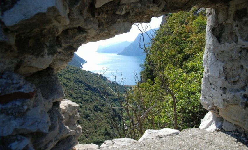
Would you like to relive the feelings of the great German poet Goethe when he first looked out over Lake Garda? This trek follows in his footsteps on the historic Strada di Santa Lucia trail with the addition of an interesting stop-off to visit the ruins of Castel Penede.
Can you imagine massive Venetian galleys being hauled over the mountains? Well, in 1439, this is precisely what happened. Brescia, an ally of Venice, was under threat from the Milanese troops and intervention was needed in their defence. The Venetians sailed up the River Adige with 25 boats and 6 galleys which were dismantled and transported with the help of 2000 oxen to the port of Torbole, passing through the Santa Lucia valley. In 1440 the little fleet defeated the Milanese and liberated Riva del Garda.


, Garda Trentino")

For more information on routes, services (guides, mountain huts, shops etc.) and hiking friendly accommodation: Garda Trentino - +39 0464 554444
The telephone number for the emergency services is 112.
The information on this chart is subject to inevitable variations, so this means that none of the indications are absolute. It is not entirely possible to avoid giving inexact or imprecise information, given how quickly environmental and weather conditions can change. For this reason we decline any responsibility for changes which the user may encounter. In any case, the hiker is advised to check the conditions of the places, environment and weather before setting out.
From the centre of Torbole take Via Pontalti and then, on the left, Via Europa to Nago.
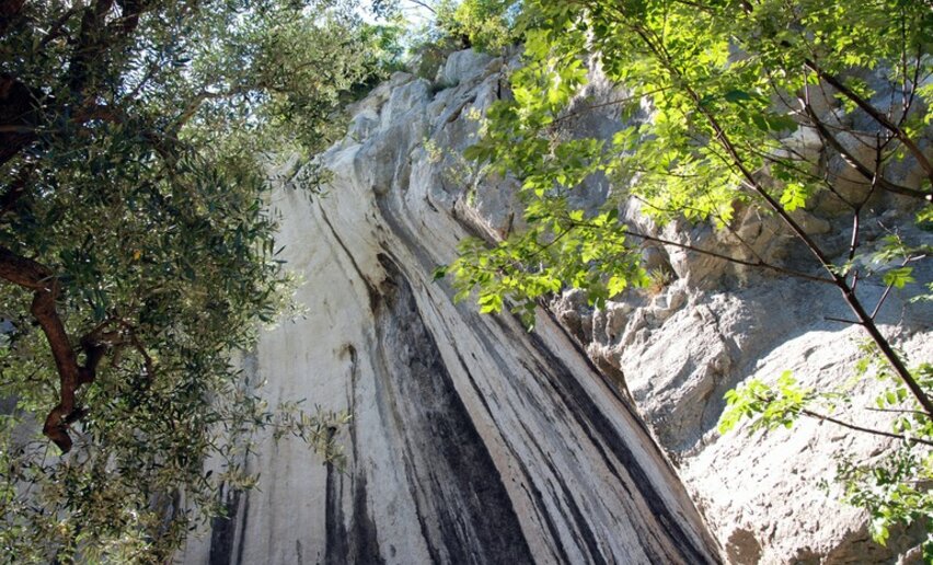
There follow directions for the ruins of Castel Penede. Returning towards the town, head down to the right among the olive trees along Strada Santa Lucia which leads to Torbole.
The main towns in Garda Trentino - Riva del Garda, Arco, Torbole sul Garda, Nago – are connected by several urban and intercity bus lines which will take you to the starting point of tours or in the immediate surroundings.
You can also get to Riva del Garda and Torbole sul Garda by the public ferry service.
Up-to-date information on timetables and routes.
A22 motorway, exit: Rovereto Sud - Lago di Garda (Lake Garda). Then SS240 to Torbole.
Find out how to reach Garda Trentino.
Parking in the locality Busatte.
Paid parking: Panorama, Via Strada Granda, Lungolago Conca d'Oro.
This excursion is quite simple and presents no particular difficulty. However, we still recommend you to wear suitable footwear, a hat, sun screen and sunglasses. And be sure to bring water!


, Garda Trentino")


, Garda Trentino")

 , North Lake Garda Trentino")


